Snow risk builds on the Prairies, threat for big amounts
Meteorologist
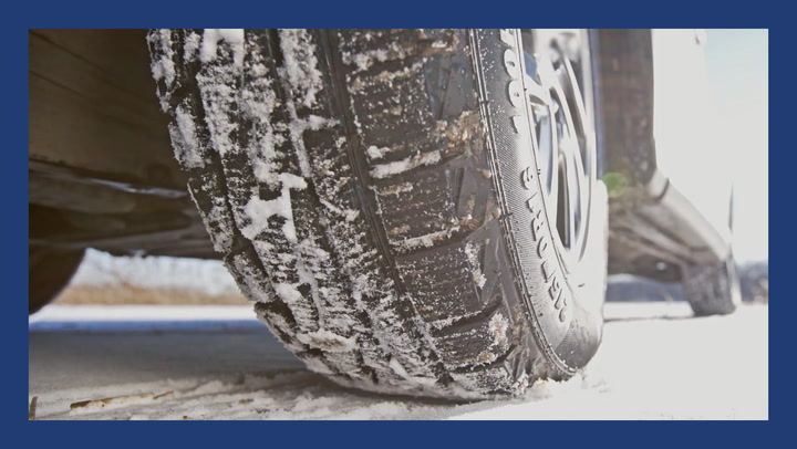
Wednesday, September 26, 2018, 7:59 PM - We've only just passed the autumn equinox, but much of western Canada has been gripped by an extended September chill featuring temperatures much more typical of the heart of the fall season. These cold temperatures have been accompanied by dynamic fall-like storms that have brought heavy coastal rain, and record-breaking Prairie snow. Wednesday brings another Arctic trough, which will once again dig in across the Prairies, delivering some of the coldest air so far this season. More on the temperature drop and potential for significant snow, below.
Visit our Complete Guide to Fall 2018 for an in depth look at the Fall Forecast, tips to plan for it and a sneak peek at winter
WEATHER HIGHLIGHTS:
- Western ridge strengthens and builds northward into Alaska setting the stage for cold air to pour into the Prairies
- A couple of lows track across the region bringing more snow to the Alberta foothills and Rockies starting Wednesday
- Temperatures turn cooler Thursday through the weekend, with highs in the mid- to low single digits
- Significant snow possible into this weekend and early next week for Alberta
As the week goes on, the pattern will become more amplified. The western ridge will strengthen and build northward into Alaska, setting the stage for cold air to begin pouring out of the Arctic and across the Prairies.
As the Arctic front surges south on Wednesday, unsettled weather will return to the Prairies, with shower chances at lower elevations and snow returning once again to the Alberta Foothills and the Rockies Wednesday night. Strong and gusty northwesterly winds will develop behind this front as cold air pours across the Prairies.
As cold air continues to press in across the Prairies, we’ll see temperatures fall well into negative territory by Friday morning, with afternoon highs only recovering into the low single digits.
Some influence from this cold trough will push across the Rockies into interior B.C. as well, which will see seasonal temperatures early in the week give way to highs in the low teens for Friday and beyond. Only the immediate Pacific coast will continue to see more seasonal temperatures persist, with sunny skies prevailing for the Lower Mainland under high pressure.
WATCH BELOW:200+ MM OF RAINFALL IN SEPTEMBER, WHAT'S NEXT FOR B.C.?
Once this pattern gets established by late this week, we’ll see an extended period of continuing cold across the Prairies, as the upper level trough shifts very slowly eastward through the latter days of September. During the weekend, more snow is expected for the Rockies and will spread across much of southern Alberta, including the city of Calgary, with the potential for some significant accumulations.
As we move into October, the Gulf of Alaska ridge should eventually begin to assert itself more, leading to warmer and drier conditions for B.C. Alberta is likely to remain on the dividing line between these two regimes, leading to continued active weather and back-and-forth swings in temperatures.


