Ontario: Snow intensifies overnight, 15-25cm for many
theweathernetwork.com
Monday, January 28, 2019, 7:18 PM - Widespread snowfall warnings cover much of southern Ontario amid a system that is threatening up to 25 cm of snow by Tuesday. This is a "talk to your boss about the commute" situation with a significant impact on travel for millions Tuesday morning. Monday's heavy snowfall brought traffic to a crawl throughout the region, or a skidding stop for many, due to blowing snow that significantly reduced visibility and caused whiteout conditions. More on the timing and threat for drivers, below, plus a look at the frigid arctic air that locks in behind this system.
Keep on top of active weather by visiting the ALERTS page
WEATHER HIGHLIGHTS:
- Snow will intensify through Monday night across the GTA and then diminish to flurries during the early morning hours
- Strong winds will make for blowing and drifting snow into Tuesday morning
- Eyes on robust system tracking into the region, potential for 10-25 cm of snow through Tuesday
- High likelihood record-breaking cold as frigid temperatures persist throughout the week
WATCH BELOW: SNOW TIMING
A robust clipper system out of the Prairies began its track into southern Ontario on Monday will drop up to 25 cm across the region.
The Peel District School Board and Dufferin-Peel Catholic School Board made the preemptive call to cancel most of their school bus routes ahead of the storm. University of Toronto, Humber College, and George Brown College, and Seneca College ended classes early as of Monday evening, and many school officials are urging to stay up-to-date on the changing conditions and possible impacts for Tuesday morning.
The significant snowfall forecast impacted public transportation options, as the TTC closed part of the subway (Line 3) and is offering shuttle buses instead.
Airports have been particularly impacted by the heavy snowfall, and approximately one in four flights, leaving or arriving at Pearson International Airport have been cancelled, and dozens of flights are cancelled or delayed at Billy Bishop Airport downtown Toronto. By the evening hours Pearson International Airport had already received 17 cm of snow, which broke their previous daily snowfall record of 13.4 cm in 2009.
WATCH BELOW: BITTERLY COLD BY LAKE ONTARIO
There is some potential for a rain/snow mix for portions of southwestern Ontario, particularly along the northern shores of Lake Erie, reaching into Niagara through Monday evening. This could prove more problematic as well, since temperatures will rapidly decline behind the low, potentially encasing the freshly fallen snow in ice, making it that much more difficult to clear.
DANGEROUS TRAVEL IN BLOWING SNOW
While it's unlikely there will be widespread closures and cancellations across the GTA, double check Tuesday morning and be prepared for a longer than normal commute.
"Snow will be done soon enough Monday night in the GTA that road crews should have most major highways in decent shape for the morning drive," the forecast centre says. "Side streets, especially in Toronto, will be a different story however, since it usually takes a day for crews to get to every street."
"Prepare for quickly changing and deteriorating travel conditions," warns Environment Canada. "Surfaces such as highways, roads, walkways and parking lots may become difficult to navigate due to accumulating snow."
GTA COMMUTE QUICK FACTS:
- Widespread blowing snow throughout the evening
- Lingering snow east of the GTA towards Cobourg for Tuesday morning
- In general, this storm will be much worse for Toronto than it will be for most other parts of the GTA thanks to this initial lake-effect streamer which hit Monday afternoon
WATCH BELOW: WIND GUST TIMING
Wind gusts between 40-60 km/h are also expected to persist into Tuesday with stronger gusts over 60 km/h along the shoreline of the lakes. That means that snow from the back end of the system will be whipping around and causing some reduced visibility during the Tuesday morning commute.
By Tuesday morning, the low will be departing through eastern Ontario and continuing east into Quebec.
COLDEST AIR OF THE WINTER, LINGERING SNOW SQUALLS
As the snow winds down and conditions gradually improve through Tuesday, arctic air will make for some brutal clean-up efforts as temperatures continually fall through the day.
"The coldest air of the winter will arrive for Wednesday and Thursday and this will be accompanied by gusty winds and dangerous wind chills in the -30s," says Gillham. "Bands of lake-effect snow squalls in the traditional snowbelt regions, along with widespread blowing and drifting snow will cause dangerous travel conditions to the east and southeast of Georgian Bay and Lake Huron through Thursday."
At times these squalls will extend into parts of the Golden Horseshoe, much like what the region experienced over the weekend.
"The cold pattern will break down between February 4-10, with a period of milder weather and the potential for some rain, but we expect that by mid-February, we will return to a colder than normal pattern, which will dominate the rest of February and at least the first two weeks of March," Gillham says.
With files from CBC News.
Stay with us here at The Weather Network for your latest forecast updates.
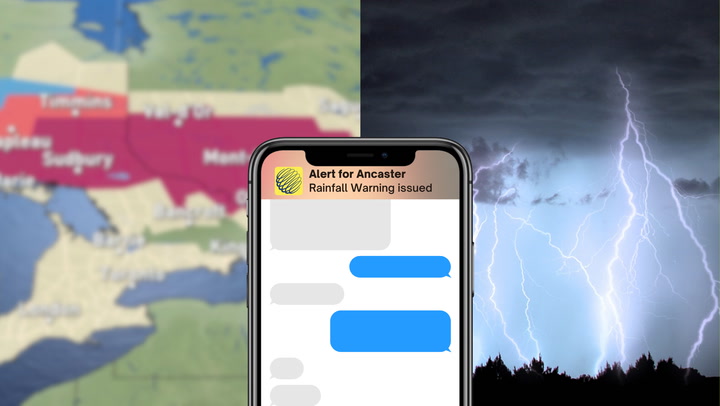
Mobile Users: Don't be surprised by winter weather! Get weather notifications directly to your device, HERE.