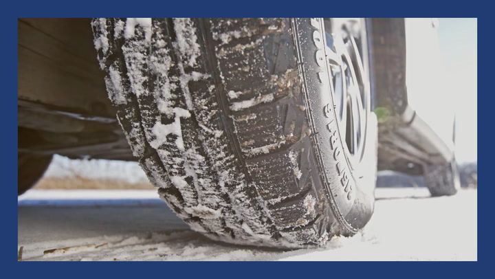
Dramatic shift brings cold and snow back to the Prairies
Meteorologist
Thursday, November 17, 2016, 12:08 PM - Residents of Western Canada are in for another taste of winter late this week, as a dynamic weather system will leave the door open for an outbreak of Arctic air.
![]() Winter Sneak Peek: Classic Winter or green for the holidays? Exclusive first look at what the winter might bring this year. | FORECAST & MAPS HERE
Winter Sneak Peek: Classic Winter or green for the holidays? Exclusive first look at what the winter might bring this year. | FORECAST & MAPS HERE
Temperatures will drop to below seasonal values, as daytime highs struggle to break the freezing mark even across the southern Prairies. Cities from Calgary to Winnipeg will be spending much of the next several days in negative territory.

But for those that aren’t quite ready to settle into winter just yet there is some good news. This week’s cold snap will be relatively short-lived, with the milder pattern we experienced in early November re-establishing itself by late this weekend.
As we move into early next week, temperatures should recover to above-seasonal values for much of the territory between the Rockies and the Great Lakes.

This temperature swing will be driven by a potent weather system tracking out of the Rockies late this week. The upper-level trough and associated surface low pressure area will bring the first major winter storm of the season to parts of the U.S., where blizzard warnings are already in place across parts of Minnesota and the Dakotas.
Parts of Ontario will be getting in on the action as well, with a swath of 30+cm of snow leading to significant travel complications.

Credit: Weatherbell
Though this system will only bring scattered flurries to the Prairies, strong northwest flow in its wake will allow Arctic air to spread across the region.
While this air mass is in place, temperatures will average 3-5°C below normal across the region – in sharp contrast to the mild temperatures that have dominated much of November so far.

Credit: Weatherbell
Though this shot of Arctic air will pack a punch, it will be short-lived, as warmer Pacific air returns late this weekend. A ridge of high pressure will build back into western Canada beginning as early as Saturday, allowing milder southwesterly flow to return and temperatures to rebound next week.
Of course, we are still deep into November at this point, so even a mild pattern might feel chilly compared to the warmth of the early fall. But with most cities firmly in the mid-to-high single digits, we can at least expect to postpone the true start of winter in the west for a while yet.


WATCH BELOW: How to REALLY defrost your car
Don't struggle with a frozen car door! Give THIS a try & WATCH as we unlock the secrets of the season in our #WinterForecast ❄️ #TestedTough pic.twitter.com/YJBhYabl0w
— The Weather Network (@weathernetwork) November 11, 2016


