The Weather Network
Weather
Maps
News
Video
|
Welcome
We have your forecast
It's Tuesday, July 28th
Content continues below
Weather and science news with expert analysis
News
Read more news
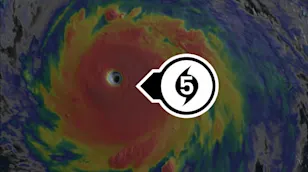
Hurricane Genevieve explodes into season's first East Pacific Category 5 storm
2:06
Dropping river levels reveal history, a dire warning during Europe's drought crisis
500+ mm: Canadian city enduring its wettest-ever summer
1:07
Can sheep replace tractors? Study tries new approach to apple farming
Searing heat threatens to surge into Canada this week
2:04
Concert goers take shelter as strong winds and rain batter Edmonton
Hunting hurricanes with airplanes began on a whim in July 1943
1:20
Rapidly spreading wildfire caught on security camera in Spain
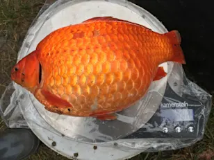
Pet goldfish are causing big problems in this province
2:10
How the Ktunaxa use fire to reclaim their culture and land in B.C.
Rare contagious cancer found in freshwater fish in Canada-U.S. lake
0:30
Dashcam captures tornado tossing vehicle across highway
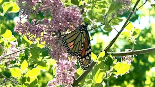
Good news for monarch butterflies (finally)! Here's what it is
1:10
Plants surprisingly prepared to survive Earth's harsh future
What is swimmer's itch, and how to avoid it this summer
1:24
Canada's quirky weather has gone viral thanks to this Edmonton woman
Rare and exceptional July snowfall across this region of Canada
1:53
Is it safe to swim? How weather influences beach water quality
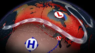
Major weather divide splits Canada to end July
1:40
Is a major wildfire possible in southern Ontario?
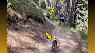
Hikers charged following video of off-leash dog encountering a bear in Banff
1:10
Rain that never hits the ground? Vanishing act explained
Nearly 200 paddleboarders stopped over missing safety gear in one weekend
1:48
Not just air quality, wildfire smoke impacts water, too
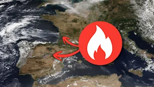
321,000+ hectares burned in explosive European fires this year
1:15
Wall of mud suddenly bursts toward onlookers after heavy rain
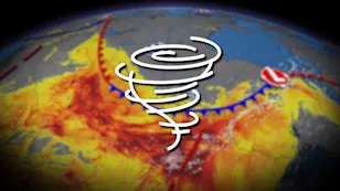
Busy summer sends Canada's tornado count soaring above normal
2:09
Suspected tick bite leads to life-altering allergy for Canadian woman
The Perseid meteor shower has begun. It could be the best we've seen in years!
1:40
Two tornadoes leave widespread damage near Rocky Mountain House
Radar Map
See all maps
Content continues below
Explore local weather in Canada
British Columbia
Alberta
Saskatchewan
Manitoba
Ontario
Quebec
New Brunswick
Nova Scotia
Prince Edward Island
Newfoundland and Labrador
Yukon
Northwest Territories
Nunavut
Vancouver
Surrey
Victoria
Burnaby
Richmond
Abbotsford
Calgary
Edmonton
Red Deer
Lethbridge
St. Albert
Fort McMurray
Saskatoon
Regina
Prince Albert
Moose Jaw
Swift Current
Yorkton
Winnipeg
Brandon
Steinbach
Thompson
Portage la Prairie
Winkler
Toronto
Ottawa
Mississauga
Brampton
Hamilton
London
Montréal
Québec
Laval
Gatineau
Longueuil
Sherbrooke
Moncton
Saint John
Fredericton
Dieppe
Miramichi
Edmundston
Halifax
Dartmouth
Sydney
Glace Bay
Truro
New Glasgow
Charlottetown
Summerside
Stratford
Cornwall
Montague
Georgetown
St. John's
Mount Pearl
Corner Brook
Paradise
Grand Falls-Windsor
Gander
Whitehorse
Dawson
Watson Lake
Haines Junction
Carmacks
Faro
Yellowknife
Hay River
Inuvik
Fort Smith
Behchokò
Tuktoyaktuk
Iqaluit
Rankin Inlet
Arviat
Baker Lake
Kugluktuk
Pangnirtung