Rain for southern Ontario followed by battle of the seasons
Tuesday, February 21, 2017, 10:37 AM - The work week begins on a wet note for the south, an icy one for the north; however, forecasters are eyeing a more impactful storm that may deliver significant precipitation to Ontario later on in the week.
After a weekend of record-breaking warmth across southern Ontario, a frontal system is expected to bring showers to the region Tuesday afternoon with widespread fog set to develop overnight into Wednesday morning.
Areas surrounding Lake Huron and Georgian Bay could pick up 5-10 mm, with less than 5 mm in the forecast for the Greater Toronto Area.
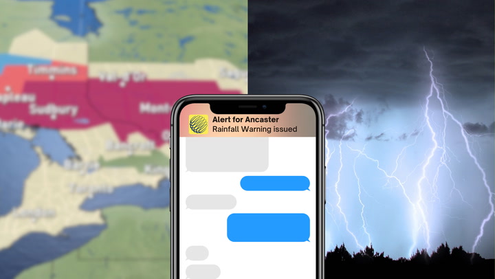
![]() KEEP ON TOP OF ACTIVE WEATHER: Visit the Alerts section of the website
KEEP ON TOP OF ACTIVE WEATHER: Visit the Alerts section of the website
QUICK FACTS:
- Freezing rain warnings continue for northeastern Ontario Tuesday morning. Transitions to rain by noon as temperatures rise above zero.
- Showers expected for southern Ontario Tuesday afternoon.
- Widespread fog develops overnight into Wednesday morning, dense in some areas.
- Warmth returns to the region by mid-week.
- Colorado low to bring heavy snow into northwestern Ontario through Saturday.
Rain showers (2-4mm) this afternoon through Southern #Ontario with widespread fog behind into mid-Wednesday morning. #onstorm #onwx pic.twitter.com/QFZLIfC8iY
— Matt Grinter (@matt_grinter) February 21, 2017
![]() STORM TOOL KIT: Be prepared for severe weather with The Weather Network's online essentials: ALERTS | LIVE RADAR | UPLOAD PHOTOS/VIDEOS | LATEST NEWS | FOLLOW ON TWITTER | HIGHWAY FORECAST | AIRPORT FORECAST
STORM TOOL KIT: Be prepared for severe weather with The Weather Network's online essentials: ALERTS | LIVE RADAR | UPLOAD PHOTOS/VIDEOS | LATEST NEWS | FOLLOW ON TWITTER | HIGHWAY FORECAST | AIRPORT FORECAST
Meanwhile, freezing rain warnings continue for northeastern Ontario Tuesday morning, including Sudbury and North Bay.
"Freezing rain is expected to move east across the region this morning as a large weather system approaches from the west," says Environment Canada. "The freezing rain will change over to plain rain by noon as temperatures rise above the zero degree mark."
With a return to a more southwesterly flow Wednesday, double-digit temperatures are likely once again for southern Ontario.
"Temperatures will be rather tricky Wednesday to Friday through the Greater Toronto Area with a easterly wind and southerly wind battling for dominance," says The Weather Network meteorologist Tyler Hamilton. "Remember, a lake breeze is very chilly this time of year. Expect unusual range in temperatures this week for parts of southern Ontario."
Looking ahead, a Colorado low is expected to impact the Great Lakes region Friday into Saturday. Parts of northwestern Ontario could see 20+ cm of snow with this system.
"Winter storm for northern Ontario with rain and thunderstorms for the south," says The Weather Network's Dr. Doug Gillham. "Threat for strong to severe thunderstorms for U.S. Midwest, including southern Lower Michigan and we'll be watching the Windsor area. Blustery and back to seasonal late Saturday and Sunday behind cold front."
An active pattern lies ahead as a series of Colorado lows look to impact the Great Lakes into March.
It will be a classic dual between spring and winter as "the modified Arctic air over the Prairies presses south and east, while the ridge over the U.S. Southeast fights back with very warm temperatures found south of the border," explains Gillham.
"Track of each system is uncertain - which will be the key as to who sees a winter storm, versus who sees mid-spring warmth."
Areas north of Highway 401 will likely be hit with snow for the first week of March, while the warm air fuels rain for the south.
Check back for updates as we continue to monitor the forecast.
Feeling foggy about the season ahead? We'll shed some light on what you can expect when our #SpringForecast premieres Feb. 27 at 9pm ET ☀️🌷 pic.twitter.com/eYSxeQEViL
— The Weather Network (@weathernetwork) February 15, 2017