Flood, power outage risks elevated on the East Coast as mighty storm looms
A far-reaching storm will park itself over the East Coast as we conclude the weekend and head into the final week before the holiday season begins, with potential disruptions to power and travel from excessive rainfall and intense wind gusts
Atlantic Canada is bracing for impact from a potent December storm, with striking similarities to the previous event.
Usually at this time of the year, East Coast folks preparing for a storm would have their shovels and snowblowers on standby to deal with a hefty shot of the white stuff. That won't be the case with this storm that is churning up the U.S. Eastern Seaboard.
WINTER 2024: El Niño will play a critical role in the weeks ahead
Instead of heavy snow, there will be rain, and lots of it. Parts of the Maritimes and Newfoundland are in line to see quite a deluge, with amounts up to 100 mm or more, and wind gusts that could hit or exceed 100 km/h.

Ensure your devices are charged because power outages are likely. Localized flooding is also possible due to the storm's projected rainfall amounts. As with last weekend’s system, secure your outdoor holiday decorations as they’ll likely blow around in the high winds arriving Monday.
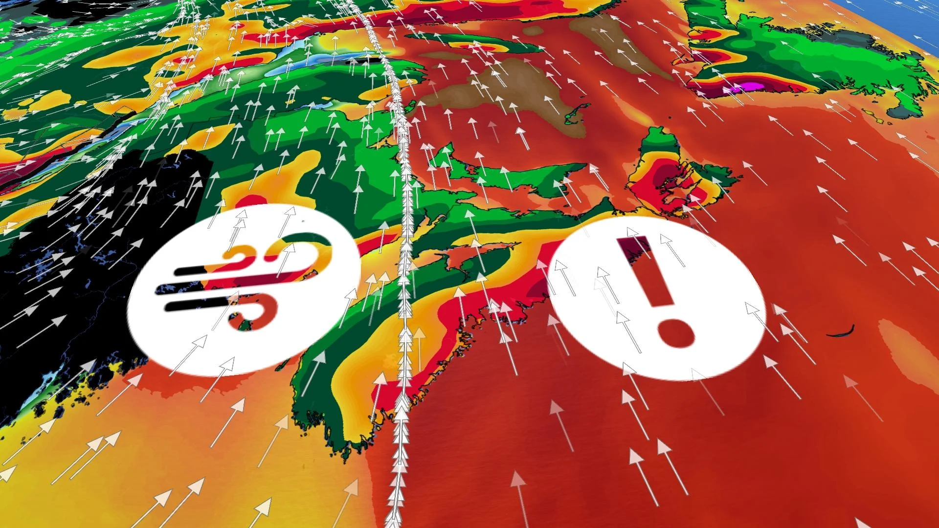
Storm rolls in until Tuesday, could be disruptions to power, travel
An extreme pattern in the atmosphere is going to lock an atmospheric river across the Maritimes through much of the week, as a strong, high-pressure system funnels up moisture from as far south as the Dominican Republic.

Not only will we deal with the effects of this powerful low-pressure system, but a downright impressive ridge of high pressure over the North Atlantic will tighten the pressure gradient to really crank up winds during the height of this approaching storm.
Expect widespread heavy rains, powerful wind gusts, and mild temperatures for the duration of this event.
Initially through Monday morning, the rainfall remains across the western Maritimes, but by the evening, heavy rates will push across the entire region. Through Tuesday, the atmospheric river targets eastern Nova Scotia and southwestern Newfoundland, increasing the threat for flooding.

We’re watching the potential for rainfall totals east of Halifax, N.S., to exceed 100 mm through Wednesday, with totals of 50-75 mm expected in southwestern New Brunswick, though locally higher amounts are possible in both aforementioned locales.
Southwestern Newfoundland isn’t spared, either, where upwards of 100 mm of rain is possible there through Wednesday. What’s unusual is St. John’s isn’t forecast to see any rain at all through Wednesday –– due to the nature of the extreme ridge of high pressure across the Atlantic.

Another system is likely to affect the eastern Maritimes on Thursday. While confidence is low, that could pad rainfall totals through the week.
Winds will pose a serious issue during this storm on Monday into Tuesday. The extent and intensity of the gusts will rival the last storm. If you lost power in that storm, you may lose it again.

Widespread gusts of 80-100 km/h are likely across the Maritimes, with higher gusts possible along exposed coastal areas. That will likely lead to power outages Monday evening into Tuesday morning.
Ensure any outdoor holiday decorations are well-secured or brought inside before the winds begin. Inflatable characters and lightweight decor can take flight in winds half this strong, potentially causing damage, injuries, or even car accidents.
Remain mindful of large trees or tree limbs looming over homes, roads, and driveways, and take care to avoid those areas during the highest winds. Most wind-related injuries are caused by trees falling into buildings or vehicles.

On the plus side, it will be rather warm. We're likely to see record-breaking temperatures.
Moist, southerly winds flowing into Atlantic Canada will serve to push temperatures far above seasonal for the duration of this storm. Typical daytime temperatures across the Maritimes should hover at or below the freezing mark in the middle of December.

We’re on track to see temperatures more than 20 degrees above seasonal at times, with the relative heat peaking Monday evening and overnight. Readings during this time could come within 25 degrees above seasonal in New Brunswick and Nova Scotia, with temperatures in the mid-teens possible.
Depending on the timing and extent of the warmth in the Maritimes, we could see some of the warmest low temperatures ever recorded during the month of December.
Stay with The Weather Network for the latest updates across Atlantic Canada.
Thumbnail courtesy of Unsplash.