Potent nor’easter could swipe hard-hit Atlantic Canada this week
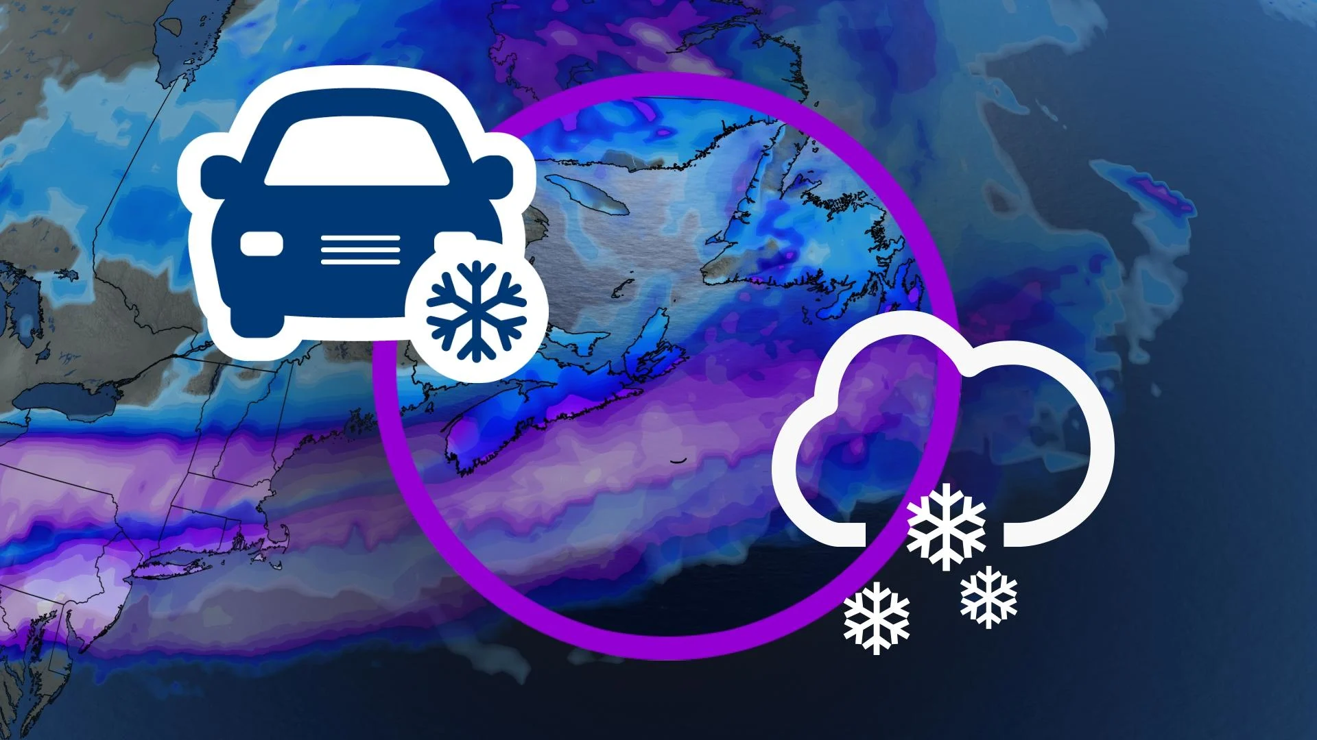
A developing nor’easter will bring the threat for heavy snow and high winds to portions of Atlantic Canada through the middle of the week
We’re on the lookout for a developing nor’easter early this week that could take a swipe at East Coast communities still reeling from the historic snowstorm that buried the region just one week ago.
This could prove to be a significant event for parts of the region on Tuesday and Wednesday, potentially even bringing blizzard conditions to southeastern Newfoundland.
Given that we’re still a few days away from any impacts, uncertainty remains in the storm’s precise track and where the heaviest snow could fall. Here’s what we know about the setup now, and what you can expect over the next couple of days.
RELATED: Pattern flip next week to bring Canada colder air, possible snow
Rapid strengthening sets up a powerful nor’easter by Tuesday
We’ll see a shield of snow develop on the northern end of the system as it spreads over the U.S. Northeast, potentially disrupting travel around and through areas like New York City and Boston.
The excitement begins as this system exits the U.S. East Coast early Tuesday and begins approaching the Maritimes.
MUST SEE: PHOTOS: Record-setting snowstorm drops 100+ cm of snow on Nova Scotia
A favourable upper-level pattern—along with warm ocean waters of the Gulf Stream—will allow this low-pressure system’s air pressure to rapidly fall. This swift strengthening will likely meet the criteria for bombogenesis, which qualifies the storm as a weather bomb.

RELATED: Weather bombs are explosive storms that create ferocious conditions
The rapid strengthening of a weather bomb is important because it allows low-pressure systems to produce fiercer wind gusts and heavier precipitation, making them more impactful for communities in the path of the storm.
A strong low-pressure system taking this track toward Atlantic Canada also meets the definition of a classic nor’easter, named for the powerful northeasterly winds that hammer coastal communities.
Remain on guard for potential mid-week impacts
By Tuesday evening, we’ll see the centre of the low pass offshore of Nova Scotia to the south. As cold air flows down from the north, this storm track will leave temperatures cold enough for precipitation to remain all snow across the Maritimes.

BEWARE: Towering snow piles could lead to very expensive problems you didn't see coming
Track matters because a slight northward or southward nudge in the storm’s path can have make-or-break consequences for which communities see heavy snow, and if some communities see any snow at all.
While there's still a low chance that the storm tracks far enough south that it's a near-total miss, model guidance is coming into agreement that the most likely track will remain close enough to bring a spell of hazardous winter weather to the Maritimes on Tuesday into early Wednesday.
Heavy snowfall, blowing snow, and reduced visibility are all hazards with this nor’easter.
The storm will reach its peak strength as it passes south of the Avalon Peninsula on Wednesday, bringing the potential for blizzard-like conditions across southeastern Newfoundland.
Make sure to keep checking back over the next couple of days as forecasters get a clearer idea of the storm’s eventual track and impacts across the Atlantic provinces.
Prepare to adjust travel plans through the middle of the week. Use the relatively quiet weather over the next couple of days to prepare for another round of heavy, blowing snow.


