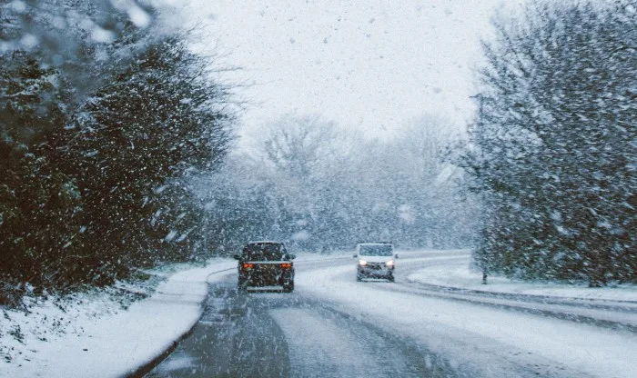
Drivers beware: Lake-effect snow machine revving up in Ontario

The waning days of fall will have a distinctly winter-like feel this week, thanks to rising risk of lake-effect snow into the midweek.
People in the traditional snow belts should prepare for some dodgy driving conditions this week, thanks to a pair of lake-effect snow events.
The first thing to watch will be a trough that will swing through the Great Lakes early this week, bringing falling temperatures and setting the lake-effect snow machine back into motion.
Shifting winds to the northwest already allowed bands of snow to form off of Lake Huron and Georgian Bay later Monday, making for difficult travel Monday night. Several collisions were reported on the roads, including a multi-vehicle incident that closed the eastbound lanes of Highway 407 between Guelph Line and Appleby Line.
These squalls could bring up to 15 cm of accumulation to the snow belts by Tuesday morning, with flakes pushing as far south as parts of the northeastern GTA overnight, including places like Markham and Oshawa, thanks to a moisture connection all the way back to Lake Superior.
Visit our Complete Guide to Winter 2021 for an in depth look at the Winter Forecast, Canada's ski season, and tips to plan for everything ahead!
That won't be the end of the story: As cold air lingers into the mid-week, winds will shift around to the east in advance of a developing storm south of the border.
With this easterly flow, we'll be closely watching the potential of a lake-effect snow band off of the western end of Lake Ontario, which could bring accumulating snowfall and tricky driving conditions to areas from Toronto to Hamilton on Wednesday.
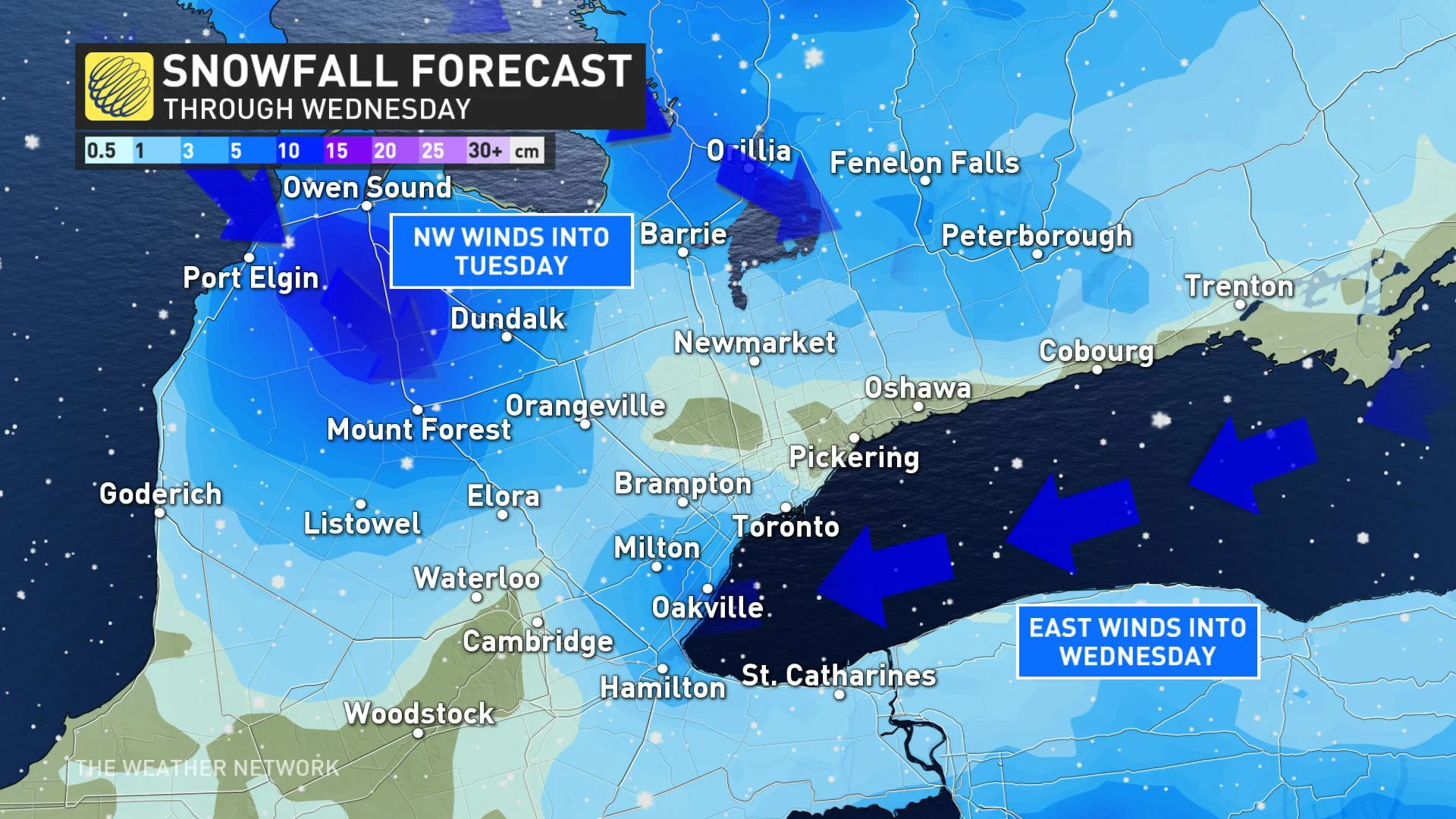
However, it's difficult to predict just how much snow a given area is likely to receive over the course of these events.
"Lake-effect snow is notorious for wide ranges in expected snow totals over short distances, so it is too early to pinpoint snow totals for specific locations," Weather Network meteorologist Dr. Doug Gillham says. "Many areas will just see a dusting to 2 cm on Wednesday, but 2 to 5 cm is likely where the lake effect snow is more persistent, and a few places could see as much as 5-10 cm."
Check back as we continue to monitor the forecast.