La Niña is over and a strong El Niño may arrive this summer

A quick flip from La Niña to El Niño is expected over the next couple of months
La Niña is officially over, NOAA said on Thursday, and the odds are rising that a significant and potentially strong El Niño event will quickly take its place.
The building pattern may be influenced by a series of powerful tropical cyclones over the western Pacific Ocean, which may enhance warming in a critical region of that ocean basin.
DON'T MISS: Experts issue 2026 hurricane outlook, what it means for Canada
One-in-four odds of a strong El Niño later this year
NOAA’s monthly update on Thursday found that La Niña ended as we entered April.
The pattern of cooler-than-normal waters that began last autumn had some influence over our winter conditions here in North America.

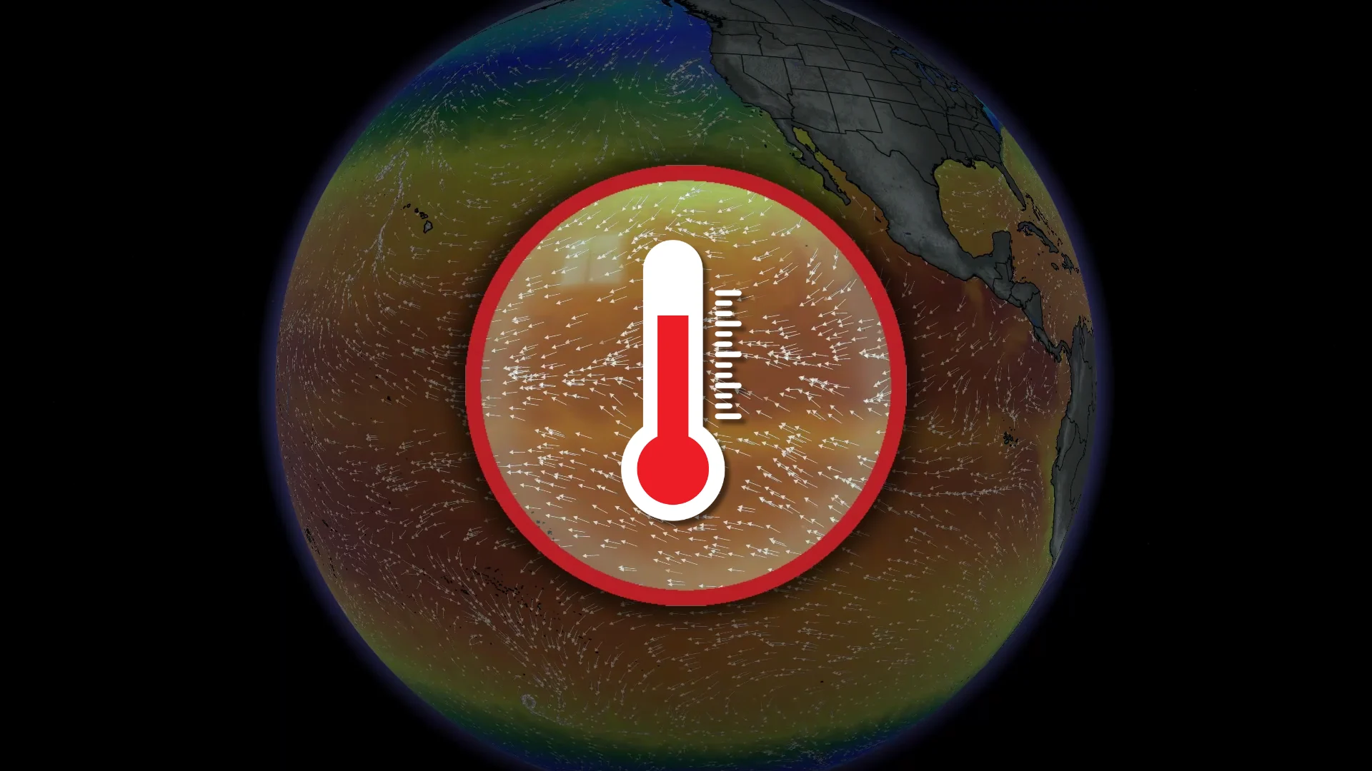
All indications point toward a rapid shift to El Niño conditions by this summer. El Niño occurs when water temperatures around the equator in the eastern Pacific Ocean run warmer than normal for several consecutive months.
Forecasters say there’s currently around a 25 per cent chance that this would be a very strong El Niño event. This would be the so-called “Super El Niño” you may have seen touted all over social media.
RELATED: Experts are changing how we measure El Niño and La Niña

But NOAA also emphasized that the forecast is highly uncertain right now, with outcomes ranging from neutral conditions to a powerful El Niño by the end of this year.
Why is there so much uncertainty?
Many factors contribute to the development of an El Niño. One of the biggest wild cards right now is the persistence of strong westerly winds, which would help reinforce the warmer-than-normal waters building in the eastern Pacific.
There’s also the “spring predictability barrier,” which makes it difficult to predict El Niño and La Niña during the chaotic transition between winter and summer.
Effects of an El Niño are stronger in wintertime
We’ll see a lag between a shift toward El Niño and the pattern’s eventual effects on the atmosphere. The faster the transition happens, the sooner it can begin influencing global weather patterns.

During the summer, the greatest influence El Niño has on North American weather is by subduing the Atlantic hurricane season.
Increased wind shear blowing east over the Atlantic can disrupt the development of tropical cyclones in the region, leading to near- to below-average hurricane activity.
Things are much different in the cooler months, though, as the pattern strongly influences the polar and subtropical jet streams as they blow across Canada and the U.S., leading to above-seasonal temperatures in the west while the east deals with an active storm track.