Are we on the cusp of a “Super El Niño?” Here’s how strong it may grow

A potentially strong El Niño may develop in the Pacific Ocean later this year
El Niño will very likely develop this summer as ocean temperatures in a key region of the Pacific Ocean begin warming up.
Many indications point toward a strong event later this year, earning nicknames like “Super El Niño” for its potential strength and impacts on global weather patterns.
Here’s a look at how strong this pattern may grow, and what kind of effects it might have on Canada heading into this summer.
DON’T MISS: A potentially strong El Niño will develop by this summer
La Niña quickly flips to El Niño by this summer
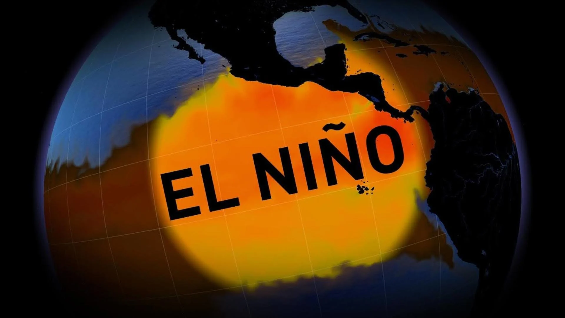
El Niño is a sustained pattern of warmer-than-normal ocean waters around the equator in the eastern Pacific Ocean. La Niña is the cold-water opposite of an El Niño.
Current trends point toward a quick transition from an ongoing La Niña to a budding El Niño by this summer.

The U.S. Climate Prediction Center (CPC) forecasts an 80+ per cent chance of El Niño conditions by the latter half of this summer, with the pattern continuing into the autumn months.
How strong could this El Niño grow?
Given that experts are confident we’re on the cusp of an El Niño, all attention now is on how strong the event will grow.
Many folks want to know if we’re on the brink of a so-called “Super El Niño” this summer. While that term isn’t used in any official capacity, it usually refers to a very strong event during which water temperatures are running at least 2°C warmer than normal, like we saw in 1997-98 and 2015-16.

MUST SEE: Climate change forces experts to fix how we measure El Niño and La Niña
A couple of degrees above seasonal may not seem like much, but abnormally warm (or cold) water can have a significant impact on the atmosphere. It helps to think about how much the small temperature spike of a fever affects the human body.
Current observations and computer model guidance suggest that we may experience a strong or possibly even very strong El Niño later this year. The CPC's forecast gives a one-in-three chance of a strong El Niño by this autumn. But there is a catch.
“El Niño and La Niña have a long history of defying expectations during spring, more so than any other season,” said Dr. Doug Gillham, a senior meteorologist for The Weather Network. This uncertainty is often called the spring predictability barrier.
Dr. Gillham noted that while there’s plenty of evidence that El Niño is on its way, “it is premature to have confidence in the eventual strength.”
El Niño may influence North America’s summertime patterns
El Niño influences weather patterns around the world by affecting the strength and position of the jet stream. As a result, we see El Niño’s boldest thumbprint during the wintertime when the jet stream is at its strongest.

We can still feel some effects on our summertime patterns across North America during summers that feature a strong El Niño.
While some areas experience hot or dry conditions during an El Niño summer, the pattern isn’t usually associated with widespread heat waves or drought.
El Niño events can lead to near- or below-normal Atlantic hurricane activity as unsettled weather in the eastern Pacific sends disruptive wind shear over the Caribbean and western Atlantic. This isn’t a sure bet, though, as we saw during the very active 2023 hurricane season.
It’s also important to note that any effects will depend on how quickly El Niño develops, as there’s a lag between water temperatures and their effects on the atmosphere.