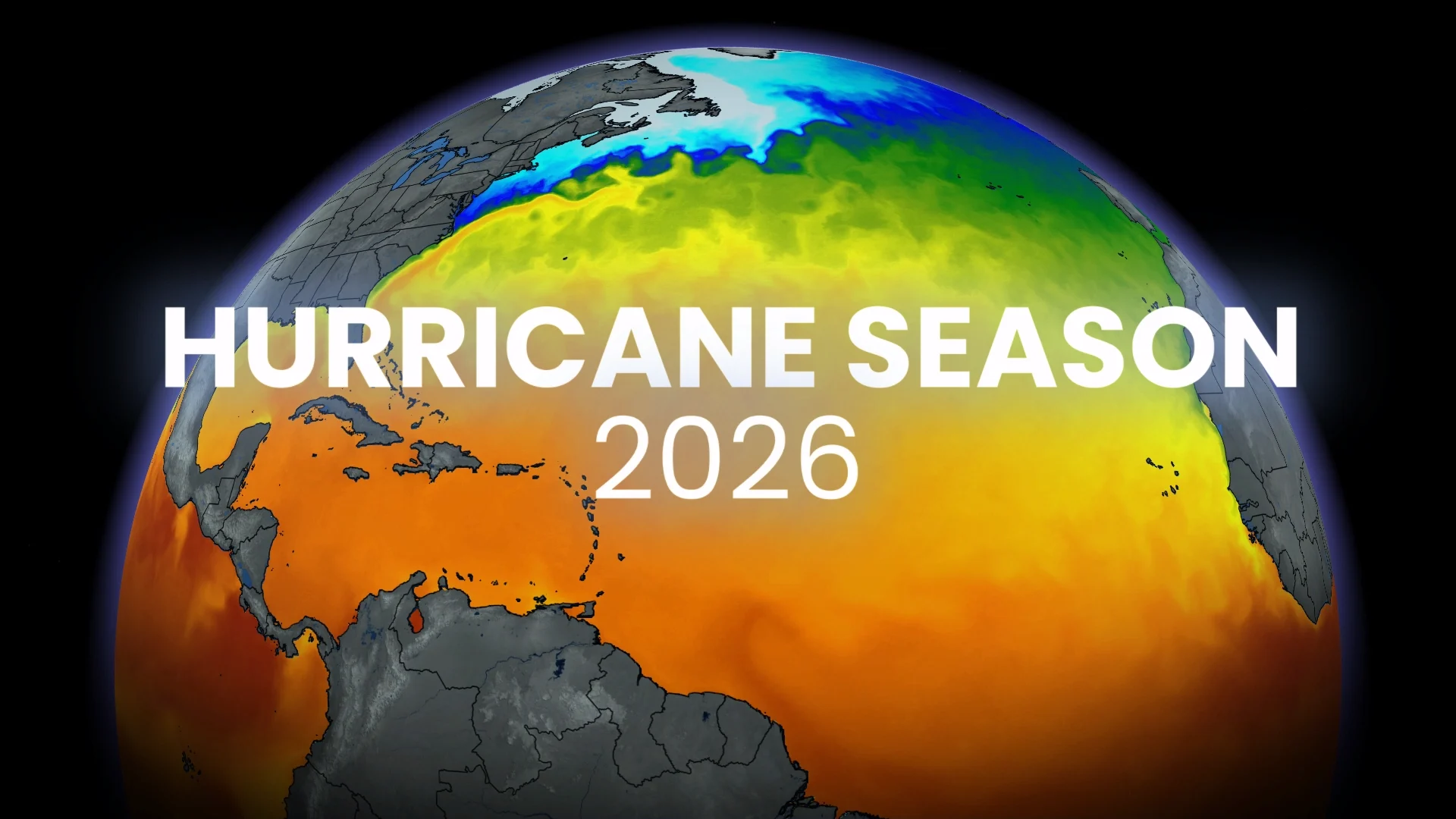
Experts issue 2026 hurricane outlook, what it could mean for Canada

El Niño is expected to dominate tropical activity across the Atlantic Ocean this hurricane season
Experts with Colorado State University (CSU) released their much-awaited Atlantic hurricane season outlook on Thursday, calling for a growing El Niño to dominate much of the season ahead.
The official forecast calls for slightly below-average tropical cyclone activity across the Atlantic basin.
Below-average doesn’t mean out of the woods, though. “As with all hurricane seasons, coastal residents are reminded that it only takes one hurricane making landfall to make it an active season,” the CSU team advised.
DON’T MISS: Are we on the cusp of a “Super El Niño?” Here’s how strong it may grow
Slightly below-normal hurricane season expected
CSU’s group of experts analyzed almost 40 years of data, comparing what happened back then to current and predicted conditions over the next couple of months.

The first seasonal outlook calls for 13 named storms, six of which may grow into hurricanes, and two of those hurricanes may intensify to Category 3 or stronger.
This is down slightly from an average Atlantic season, which produces 14 named storms, seven hurricanes, and three major hurricanes.
Atlantic hurricane season begins on Jun. 1 and runs through Nov. 30, though it’s possible to see an occasional storm before or after that six-month period.
Potential effects for Canada
The CSU forecast calls for a 38 per cent chance of a named storm impacting the East Coast, which is down from the seasonal average of about 51 per cent odds. The greatest potential exists in Nova Scotia, which is vulnerable as hurricanes recurve through the western Atlantic.
Canadians also have to monitor storms making landfall in the United States. The remnants of these storms can bring a risk for flooding rains, high winds, and tornadoes as they move north across the border.
Folks across Eastern Canada are urged to prepare for hurricane season no matter what the seasonal outlook calls for. Even one storm tracking through the region can bring significant hazards.
El Niño likely a driving force behind this year’s season
Forecasters are on alert for a potentially strong El Niño event to develop during the summer and continue through the end of 2026.

RELATED: El Niño and wind shear: Atlantic hurricane season influencers
This pattern of warmer-than-normal ocean waters in the Pacific Ocean can influence Atlantic hurricane activity by increasing the amount of wind shear that blows east into the region.
Tropical cyclones need relatively calm winds in order to develop and thrive. Increased wind shear can shred apart thunderstorms before they can take root, disrupting the development of a budding tropical system.

However, despite generally unfavourable conditions, some storms can still slip through and thrive if all the right ingredients are aligned.
2023 is an infamous example. Very warm Atlantic waters overpowered El Niño’s influence, allowing the development of 20 named storms.
RELATED: How do Atlantic hurricanes get their names?
We’re very unlikely to see a repeat of that storm bonanza this time around. Waters across the Atlantic are much cooler now than they were in 2023.

This year’s list of Atlantic storm names begins with Arthur, Bertha, and Cristobal. The list was last used during the historic 2020 hurricane season; it includes the name Leah for the first time, replacing Laura after it was retired.