Frigid air on the lam in Canada as unseasonable December rolls on

With a warm pattern locked in for much of the country, we’re on the lookout for signs of traditional winter weather heading into the back stretch of December
It’s a cold weather caper over Canada this month as the looming arrival of deep winter vanished without a trace.
An unseasonable pattern over North America this month will keep the Arctic’s coldest air confined to the farthest reaches of the northern horizon, allowing warmer-than-normal temperatures to dominate Canada through the close of 2023.

DON'T MISS: While winter is near, Canada's weather is telling a different story
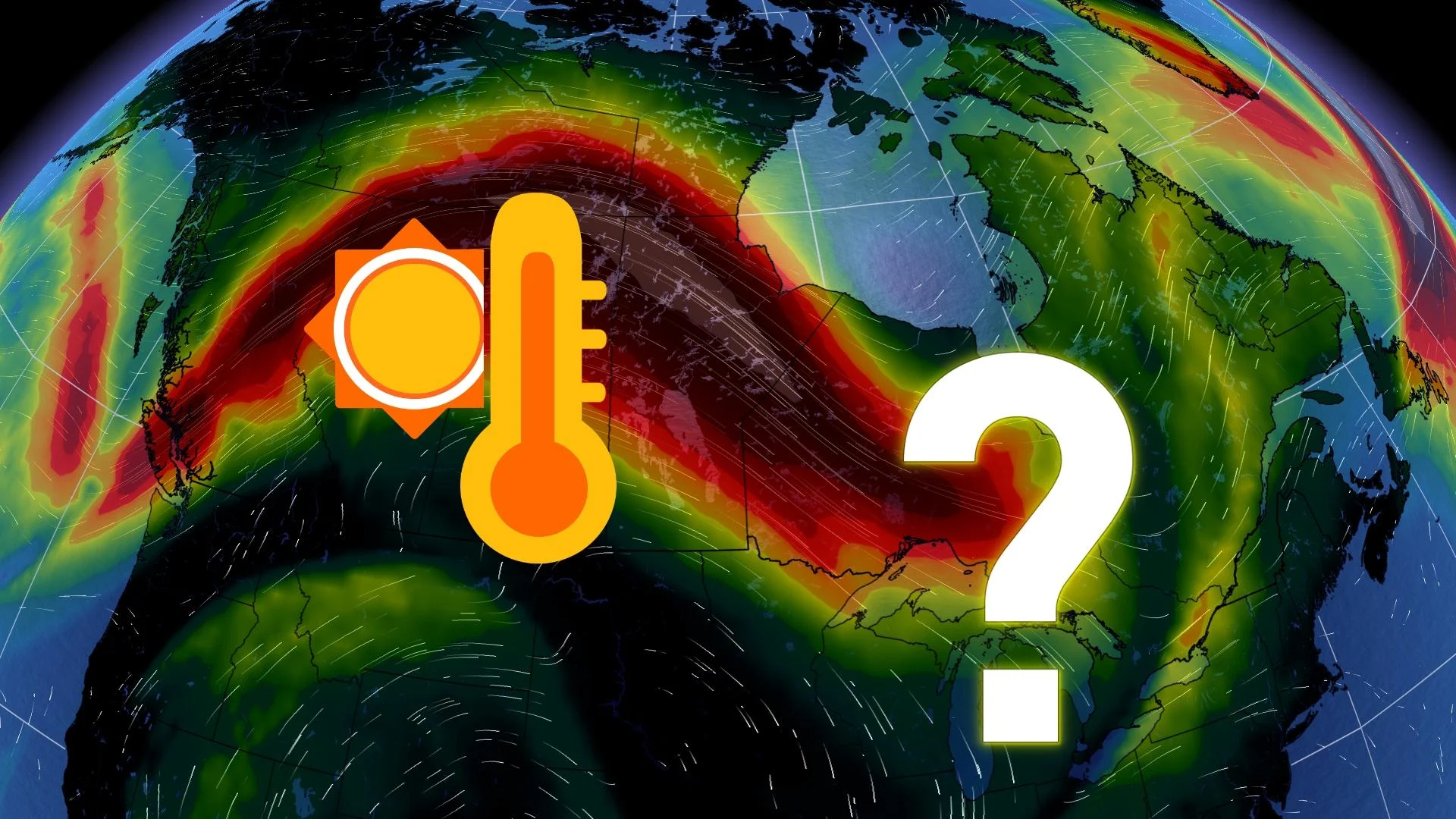
Wanted: Frigid air
It’s a case worthy of its own miniseries. Arctic air is wanted on charges for failing to appear. The atmosphere is in upheaval as El Niño flexes its might on the fledgling season.
Warm water in the eastern Pacific forces jet streams to shift north over North America. These northward nudges often lead to warmer-than-normal temperatures for a vast swath of Canada during the winter months.

WINTER 2024: El Niño will play a critical role in the weeks ahead
Even though this year’s El Niño is unlike any we’ve seen before, its hallmark effects on winter weather are rearing their head this month.
Searching for winter in the West comes up short
Long-term trends aren’t your friend if you’re hunting down winter in the western half of Canada.
Temperatures look to remain mild for much of B.C. and Alberta for the remainder of December. Forecasters see an active storm track setting up for the West Coast next week and into Christmas and beyond.
Freezing levels will be critical for B.C.’s ski resorts hurting to build and maintain snowpack this season. If these storms peter out—or send freezing levels soaring—it could put ski areas in a bad position heading into 2024.

Alberta, on the other hand, could see some of the largest temperature anomalies in the country heading into the latter half of December. Several favourable setups for chinook events could unfold for communities across the foothills, potentially sending temperatures double-digits above seasonal at times.
WATCH: What exactly makes for a 'white Christmas,' anyway?
Typically snowy Prairies green with envy
Winnipeg’s typical daytime high in mid-December comes in around -10°C. They'll struggle to get that cold for their nighttime low over the next week, and the unusual warmth isn’t going anywhere fast.
Saskatchewan and Manitoba will find themselves beneath the ridges that’ll power the above-seasonal temperatures on the Prairies through the end of December.
RELATED: What exactly makes for a 'white Christmas?'
It’s worth noting that “above-seasonal” around the holidays is still pretty brisk. Even a day running 10 degrees above seasonal requires a heavy jacket, and it’s still plenty cold enough for snow if any moisture creeps into the region.

But will any moisture actually creep in? Winter is on the lam—and so is the active storm track. Conditions look pretty quiet across much of the Prairies through at least Christmas Day, putting in doubt the region’s reliable record of having snow on the ground come Christmas morning.
Classic December weather hiding out in Eastern Canada
If the deep recesses of winter are a no-show on the Prairies, you can bet that southern Ontario is comfortably mild as we round the middle of December.
Toronto City Centre airport took the prize as Canada’s hot spot on December 15 with a high temperature just over 13°C.
While not as warm, temperatures in southern Ontario will run at least a few degrees above seasonal most days—still cold enough for occasional snow, especially in the traditional snowbelts.

If you’re searching for winter, the suspect is likely to turn up back east.
The best opportunity for December-like weather will fall across Eastern Canada as an active storm track develops over the region. This unsettled pattern will draw in moisture from the south and pull cold air down from the north, potentially setting up opportunities for snow at times.
MUST SEE: Don’t let weather ruin your holiday baking with these sweet tips
Eastern Ontario and southern Quebec will fall on the edge of the patterns. The unsettled pattern for Atlantic Canada could drag in quick doses of chilly air at times, but it’s dependent on each system’s track.
A mild December doesn’t mean the entire season is a lost cause, of course. There will be plenty of opportunities for frigid air and characteristic snows heading into January and beyond. Winter can run, but it can’t hide forever.
Stay with The Weather Network for your latest forecasts in the lead-up to the holiday rush.