East Coast bracing for moisture-laden, boisterous storm amid warm-air surge
Get ready, Atlantic Canada, yet another potent storm is headed your way by the end of weekend, bringing excessive rainfall and blustery winds, alongside some rather mild temperatures into early next week
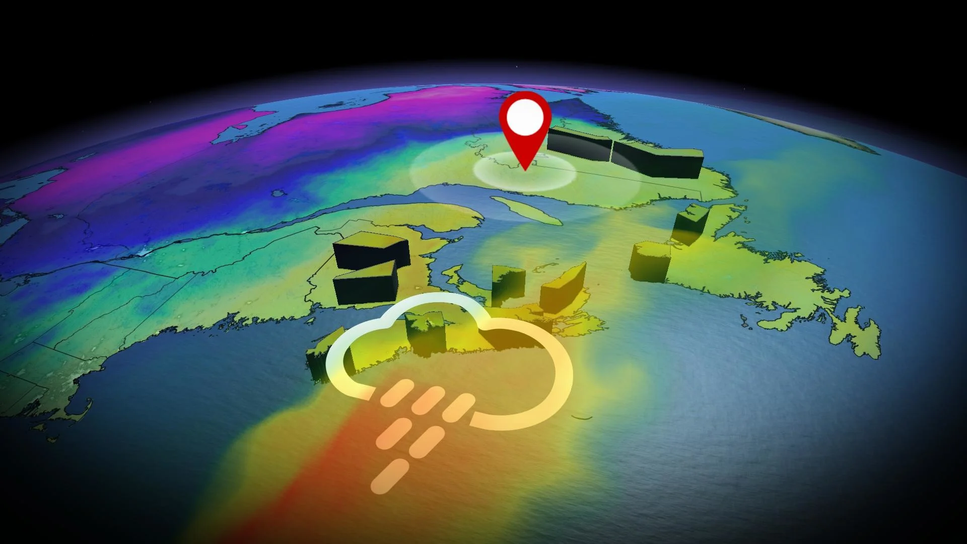
Similar to last weekend, Atlantic Canada finds itself in the crosshairs of another storm at the end of it, possibly becoming fairly disruptive into early next week.
But, this isn’t just an ordinary system. A highly anomalous stream of moisture for mid-December will sweep north into Labrador. That will stem from a setup involving an unusually potent high pressure across the North Atlantic, ushering in warm air to Eastern Canada while winds from the south help to steer a low-pressure system in. It will also act like a block ––funnelling the moisture north.
WINTER 2024: El Niño will play a critical role in the weeks ahead

As a result, the East Coast can expect a hefty dose of rain, strong wind gusts, and mild temperatures. Some areas in the Maritimes and Newfoundland could see 50-100+ mm of rainfall through Wednesday, elevating the threat of localized flooding.
Sunday night through Tuesday
Rain will begin late Sunday, continue into Monday, and then linger into Tuesday for the Maritimes. The heavy rain will be much more widespread than the system earlier this week, especially across Nova Scotia.

We’re watching for areas east of Halifax, N.S., to exceed 100 mm of rainfall through Wednesday morning. A widespread 50-75 mm of rainfall is forecast across much of New Brunswick. Southwestern Newfoundland isn’t spared, either, as close to 100 mm of rainfall is possible through Wednesday.
Rainfall amounts like those will certainly bring a heightened risk for localized flooding.
With such a strong high pressure over the North Atlantic and a low over Quebec, that increases the pressure gradient. When there is such a large pressure gradient like that, the potential for strong wind gusts increases.
SEE ALSO: Massive Atlantic 'anticyclone' steers storm into Eastern Canada

If you lost power with the last system, it’s possible you’ll lose power again as the wind intensity is eerily similar.
As with the last wind event, 80-100 km/h wind gusts are likely, with locally higher gusts, especially along exposed coastal areas. The potential for power outages will be there Monday evening through Tuesday morning.
A southerly wind will be ushered into Atlantic Canada, bringing several days of above-seasonal temperatures.
A southerly wind will be ushered into Atlantic Canada, bringing several days of above-seasonal temperatures. Seasonal temperatures in the Maritimes hover at or below the freezing mark for this time of year, but come Sunday through Tuesday, warmth will dominate the region. Expect temperatures that are more than 15°C above seasonal at times.

Temperatures may peak Monday evening and overnight, coming within being 25 degrees above seasonal across New Brunswick and Nova Scotia. It’s likely some stations will record temperatures into the mid-teens during this time period.
A second low may develop over the Atlantic and bring more unsettled weather to the region late week, with widespread rain and the risk for heavy amounts, but confidence is low.
Parts of the region to the west of the storm track should see a changeover to ice and snow, as much colder weather spreads in late week and into the weekend.
Be sure to check back for the latest weather updates across Atlantic Canada.