Heavy spring snow blasts Alberta this week with a risk for up to 30 cm
Spring has sprung, but parts of Alberta will be dealing with another blast of snow as April begins this week
After a recent blast of snow brought significant storm totals and even road closures to the Edmonton area late last week, another round of wintry weather will take aim at Alberta once again.
DON'T MISS: Does poking holes in the snow make it melt faster? We investigate
The week will start out much milder, with temperatures approaching the double-digits across the south on Tuesday, followed by a quick cool down and snow chances building through Wednesday and into Thursday.
In some of the harder-hit areas of the foothills, as much as 30 cm could fall as we kick off April.
First round of snow pushes through late Tuesday
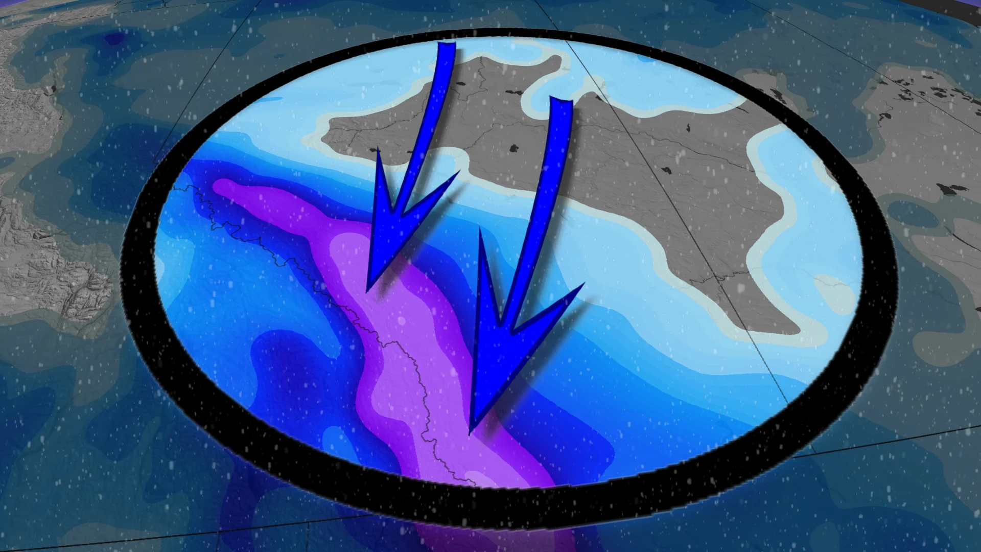
A trough will move through the province later Tuesday and into Wednesday, bringing scattered snow from the north to the south.

Along the central and southern foothills, between 5-10 cm is possible, with even heavier totals likely with the main event later Wednesday.
Heavier snow totals forecast Wednesday into Thursday
With high pressure to the north and low pressure to the south, strong northerly winds will develop on Wednesday, with upslope snow forecast to fill in along the foothills.

As much as 30 cm of snow could fall from Tuesday night through to Thursday.
It’s possible for bursts of heavy snow to move into Calgary at times as well, which could bring some heavier snow totals to the city.

Drivers should brace for the changing conditions, and keep an eye on any weather warnings in your area.
Temperatures will rise heading into the weekend, reaching double-digit highs once again. These milder conditions will continue into next week.

Be sure to check back for the latest weather updates across Alberta.