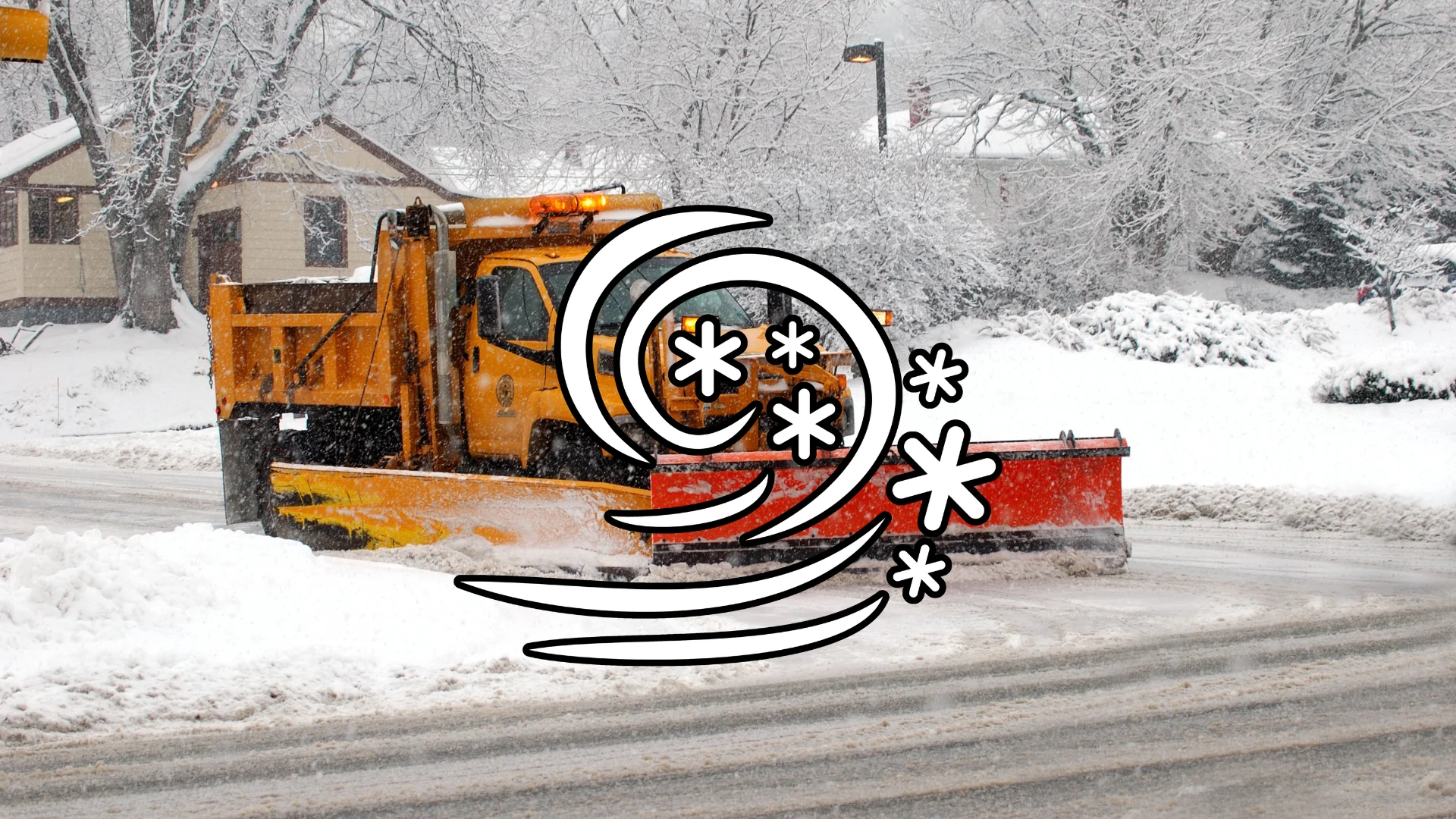
Up to 25 cm as heavy snow persists into Friday, travel impacts likely
A late-March snowfall will persist into Friday as a clipper slides across the Prairies
A classic springtime snowfall is in progress across the Prairies as a clipper system jogs across the region.
Some communities, including the city of Winnipeg, could see 15-25 cm of snowfall through Friday. This snowfall will significantly hamper travel throughout the region.
Stay aware of highway conditions before heading out, and keep an eye on weather alerts in your area.
DON'T MISS: 2025 Spring Forecast: Embrace a turbulent and truly Canadian season

Mild air that blanketed southern regions on Wednesday and Thursday will vanish by Friday as temperatures dip back below freezing.
A clipper system that formed over central Alberta will trek east heading into Friday, leaving behind a swath of snow across Edmonton, Saskatoon, Regina, and down toward Winnipeg.
Expect snowfall to continue for Alberta and Saskatchewan into Friday morning, with the heaviest snow ending during the overnight hours. These areas could see a swath of 10-20 cm of snow, along with the threat for reduced visibility from blowing snow.

Winnipeg will continue to see heavy snowfall Friday morning, which will linger across the region throughout the day. Forecasters expect 15-25 cm of snow to fall in the city, affecting travel for all major routes in the region.
Much colder weather is forecast for the final few days of March, and into the start of April, as well.
Be sure to check back for the latest weather updates across the Prairies