Will soon-to-be Isaias end Atlantic's hurricane-free streak? Forecast says yes

With Isaias expected to arise soon, we may now be on the forefront of finally seeing the Atlantic's first hurricane of the season--putting interests in the Yucatan Peninsula and the northern U.S. Gulf Coast on alert
The lack of hurricanes in the Atlantic Ocean this season can at least be partly blamed on a "super" El Niño in progress.
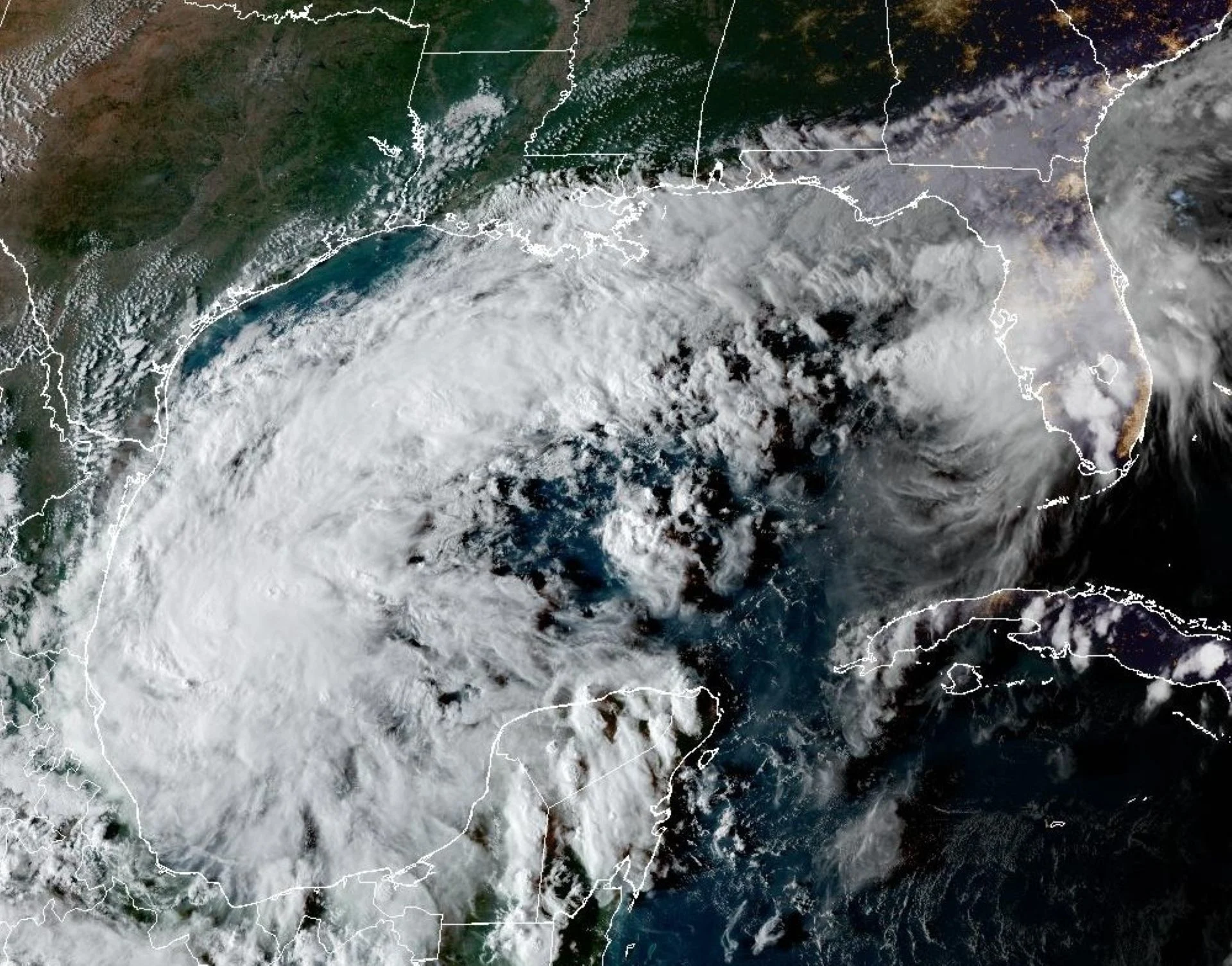
However, Tropical Depression Nine developed in the Gulf of Mexico on Tuesday and is expected to quickly become Isaias, with some models hinting that it could reach hurricane status shortly after to become the Atlantic basin's first of the season.
Interests in the Yucatan Peninsula and the northern U.S. Gulf Coast should closely monitor the progress of this system.
Isaias will come to life soon
On Tuesday, Tropical Depresson Nine was born in the Gulf of Mexico. As of Tuesday evening, its maximum, sustained winds are near 55 km/h with higher gusts.
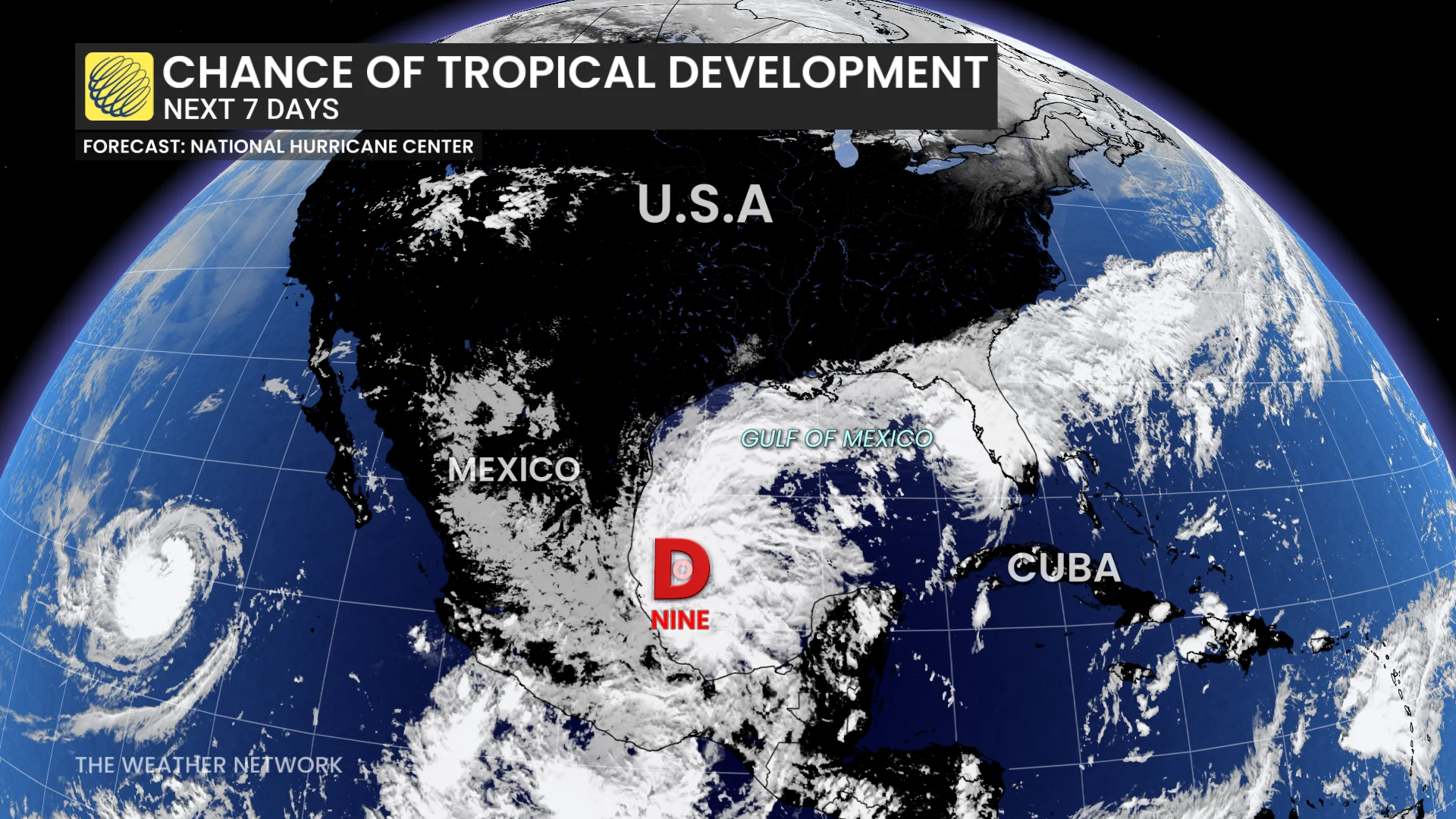
Steady strengthening is forecast, and the depression is expected to become a tropical storm by early Wednesday and a hurricane on Thursday.
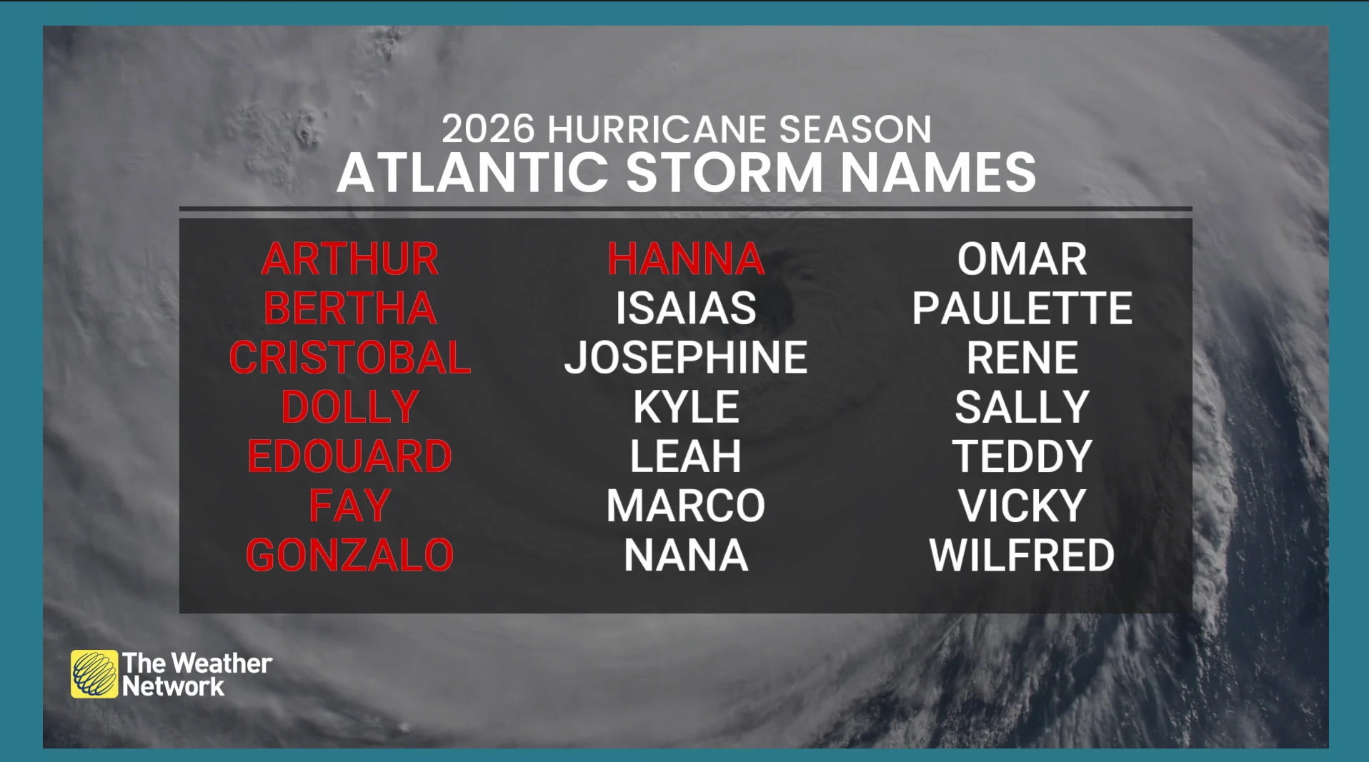
When it becomes named, it will take on the Isaias moniker.
The U.S. National Hurricane Center (NHC) said the depression is expected to pass to the north of the Yucatan Peninsula on Thursday, and approach the U.S. northern Gulf Coast on Friday.
.
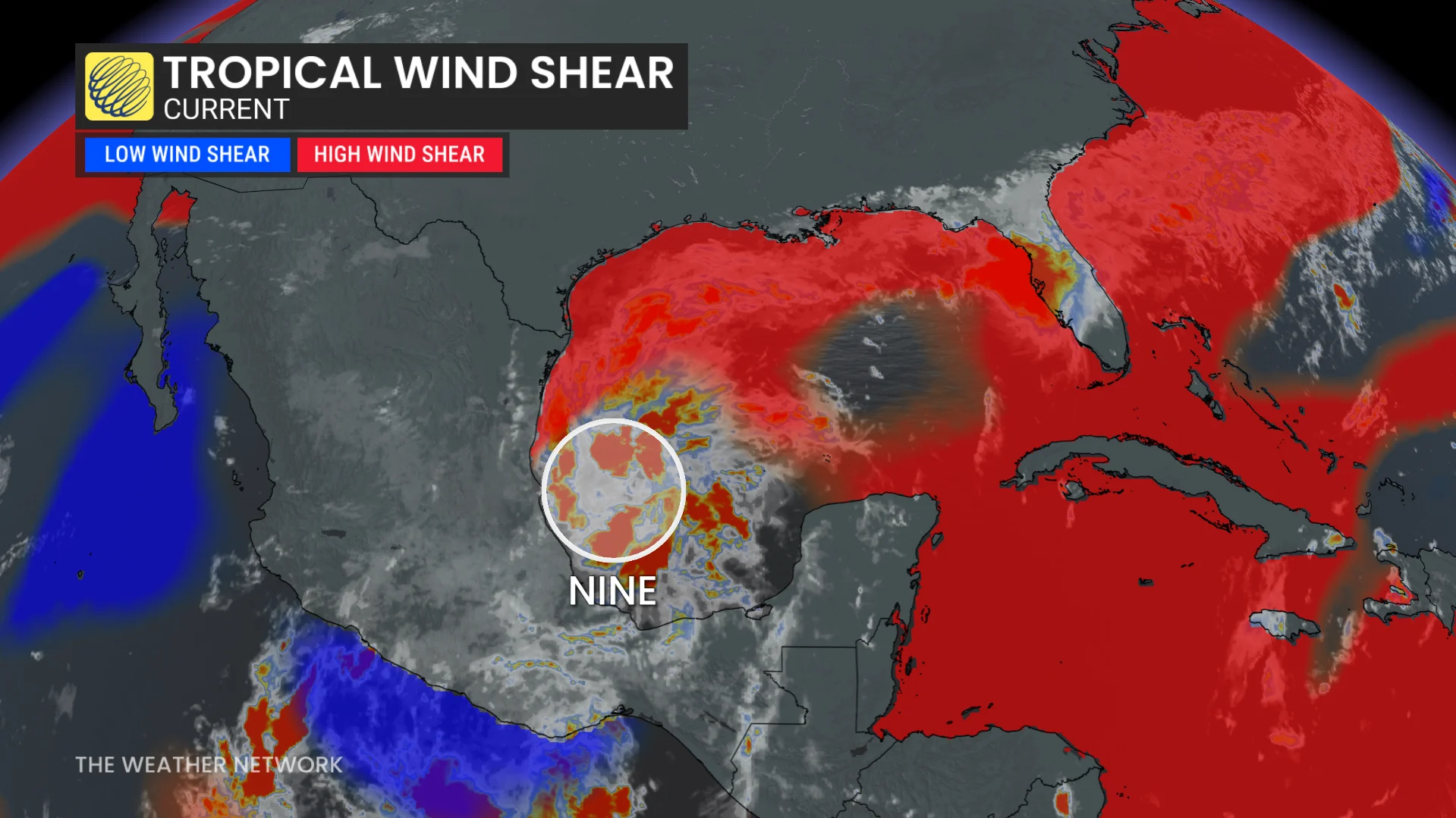
The environmental conditions and the model guidance is showing strengthening and reaching its peak before reading land.
Tropical Depression Nine is expected to produce rainfall amounts of 50-100 mm through Thursday across coastal portions of the Bay of Campeche, with isolated, higher amounts possible in the states of Campeche and western Yucatan.
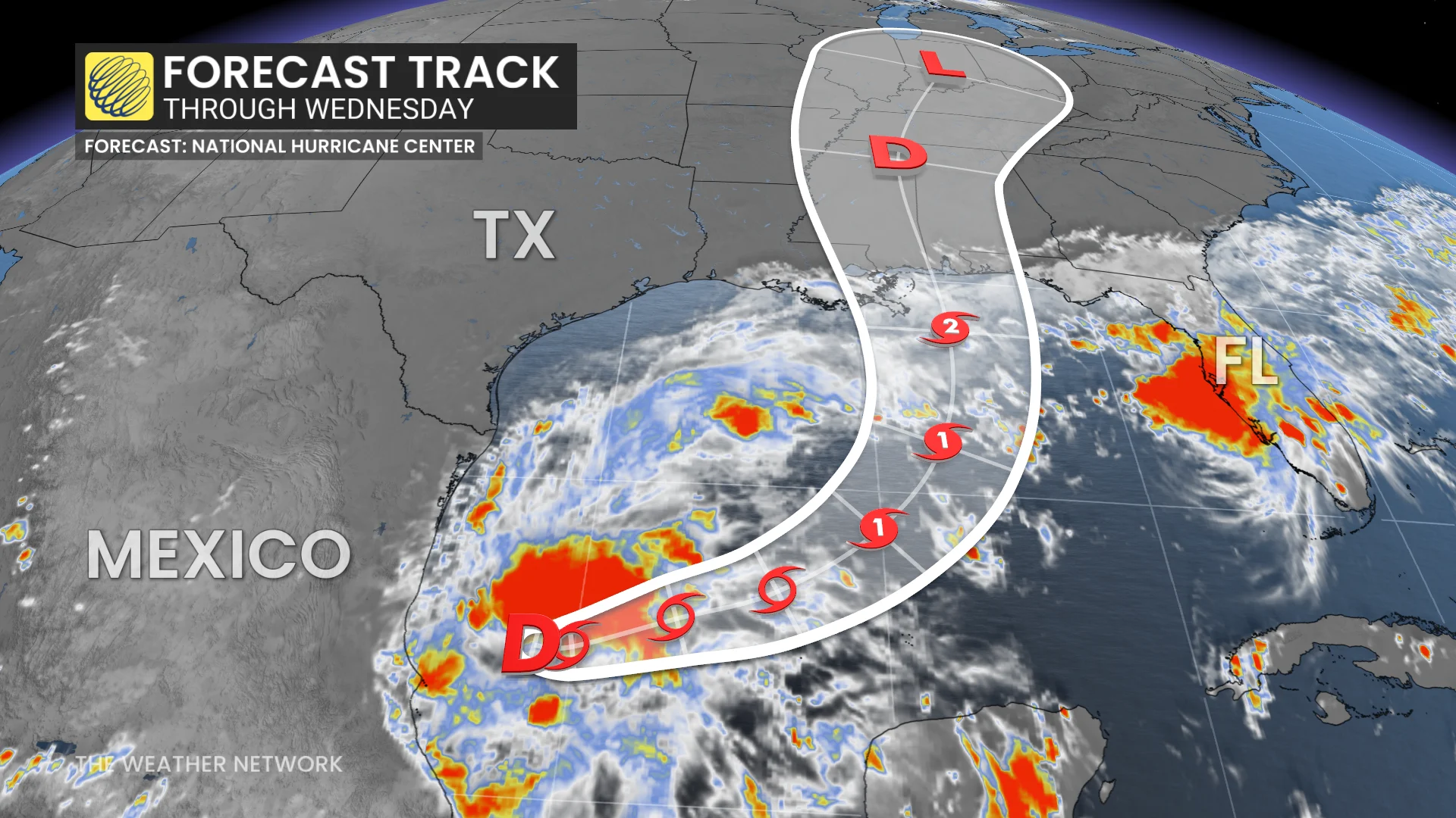
From Friday through the weekend, the system is expected to produce rainfall amounts of 75-150 mm, with localized totals up to 250 mm, across the central U.S. Gulf Coast extending from southeastern Louisiana to the Florida Panhandle.
Flash and urban flooding, along with isolated river flooding, will be possible.
'Super' El Niño contributes to lack of hurricanes
With forecasters now confirming a "super" El Niño in place, the phenomenon is driving the Pacific and Atlantic basins'respective hurricane seasons this year. These warmer-than-normal waters are having a profound effect on the atmosphere across the region.
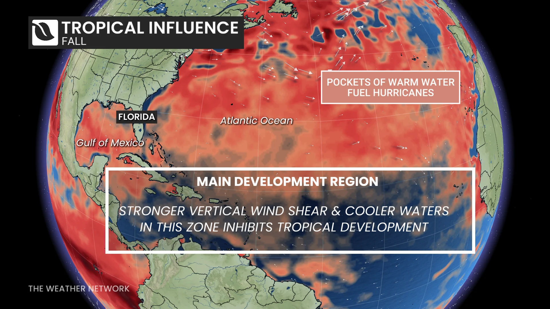
Tropical systems are thriving in the rising air and calm environmental winds throughout the northeastern Pacific. Meanwhile, this same pattern has increased the amount of disruptive wind shear blowing east over the Atlantic basin, shredding apart potential disturbances before they can develop any further.
Thumbnail courtesy of NOAA.
With files Dennis Mersereau, a digital journalist and weather specialist at The Weather Network, and Nathan Howes, a digital reporter at The Weather Network.