What you need to know about B.C. wildfires on Aug. 8

The Latest:
A state of emergency was declared by the District of Summerland in the Okanagan Valley just after 10:30 p.m. PT Friday due to the rapidly growing Bald Range wildfire.
As of Saturday morning, the wildfire had burned over 95 square kilometres and forced more than 20,000 people to leave their homes.
At the northern end of Okanagan Lake, growth has slowed on the Bradley Creek wildfire, but preliminary estimates from the Okanagan Indian Band indicate at least 230 properties were destroyed in the fire.
Since Thursday, the Ainslie Creek fire near Boston Bar has spread over another 50 square kilometres, and had burned over more than 450 square kilometres as of Saturday morning.
According to DriveBC, several major highway and road closures are in place including Highway 1 in the Fraser Canyon and Highway 97 in the Okanagan.
Summerland declares state of emergency
A state of emergency was declared by the District of Summerland just after 10:30 p.m. PT due to the Bald Range wildfire burning near Okanagan Lake, around 15 kilometres west of the community.
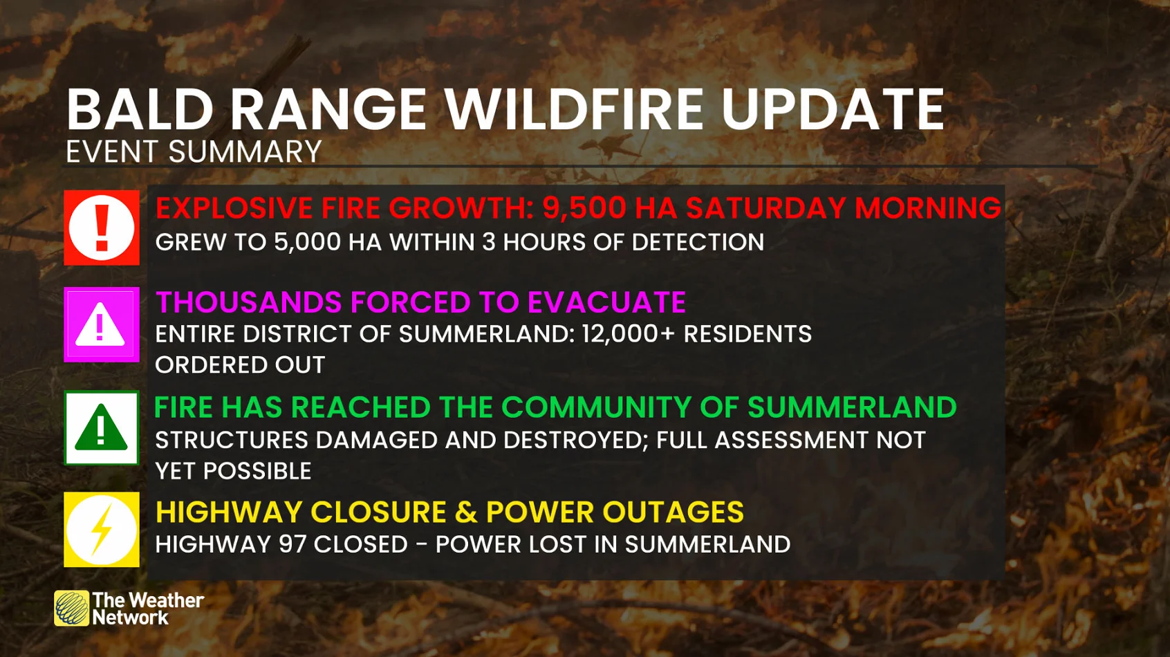
Keep up with the latest wildfire information at The Weather Network's wildfire hub.
More than 20,000 people have been forced to evacuate as a result of this fire, which had grown to 95 square kilometres as of Saturday morning, doubling in size overnight.
In a Saturday morning update, the B.C. Wildfire Service said thick smoke, elevated fire behaviour and air turbulence limited overnight response by a night vision-equipped helicopter.
It said fire behaviour decreased in the early morning, but is expected to increase throughout the day as temperatures rise.
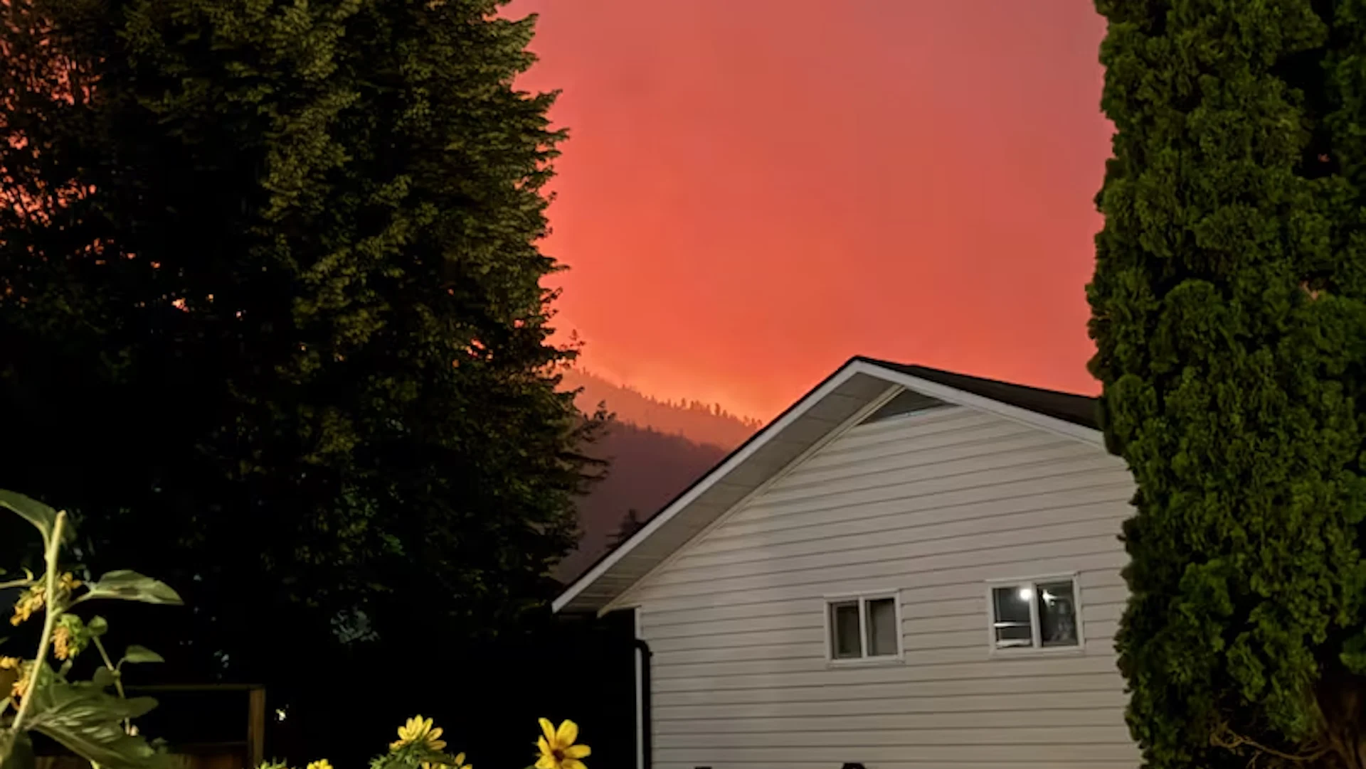
Summerland resident Shannon Bedford said she noticed a lot of smoke drifting in, thinking it was from fires north of Summerland.

The exact cause of the Bald Range wildfire is still under investigation as of Friday evening. (Submitted by Shannon Bedford)
"It literally came in like a curtain," she explained.
She said she and her husband overheard firefighters directing residents to be ready to leave at a moment's notice, before she got her cat and husband in the car and headed to Kelowna.
"We've got ourselves, our animals and our son actually out in Penticton — so that [is] a bit nerve-racking trying to figure out how we [are] going to deal with that too."
Other major evacuations
The Pear Lake wildfire near Clinton — currently the largest in the province at roughly 1,364.5 square kilometres — has destroyed structures on about 120 properties in the area.
Evacuation orders have been issued for residents south of Lillooet as it continues to grow.
On Friday, the Squamish-Lillooet Regional District issued an evacuation order for 16 properties in the Texas Creek area. The T'it'q'et First Nation also issued an evacuation order for five homes located on T'it'q'et Indian Reserve #2 Towinock.
Meanwhile, the Thompson-Nicola Regional District issued an evacuation order for 57 properties south of Merritt in the Nicola Valley on Friday due to growth on the Ainslie Creek wildfire.
The district also issued an evacuation alert for 783 properties southwest of the city.
WATCH: Why not use ocean water to fight wildfires?
Other large fires
On the northwest end of Okanagan Lake, the Bradley Creek wildfire did not display significant growth this week, with the B.C. Wildfire Service saying the fire was 28.5 square kilometres in size as of Friday night.
The exact scale of the damage from the Bradley Creek fire is still being estimated, but the Okanagan Indian Band says at least 230 homes have been destroyed on its reserve.
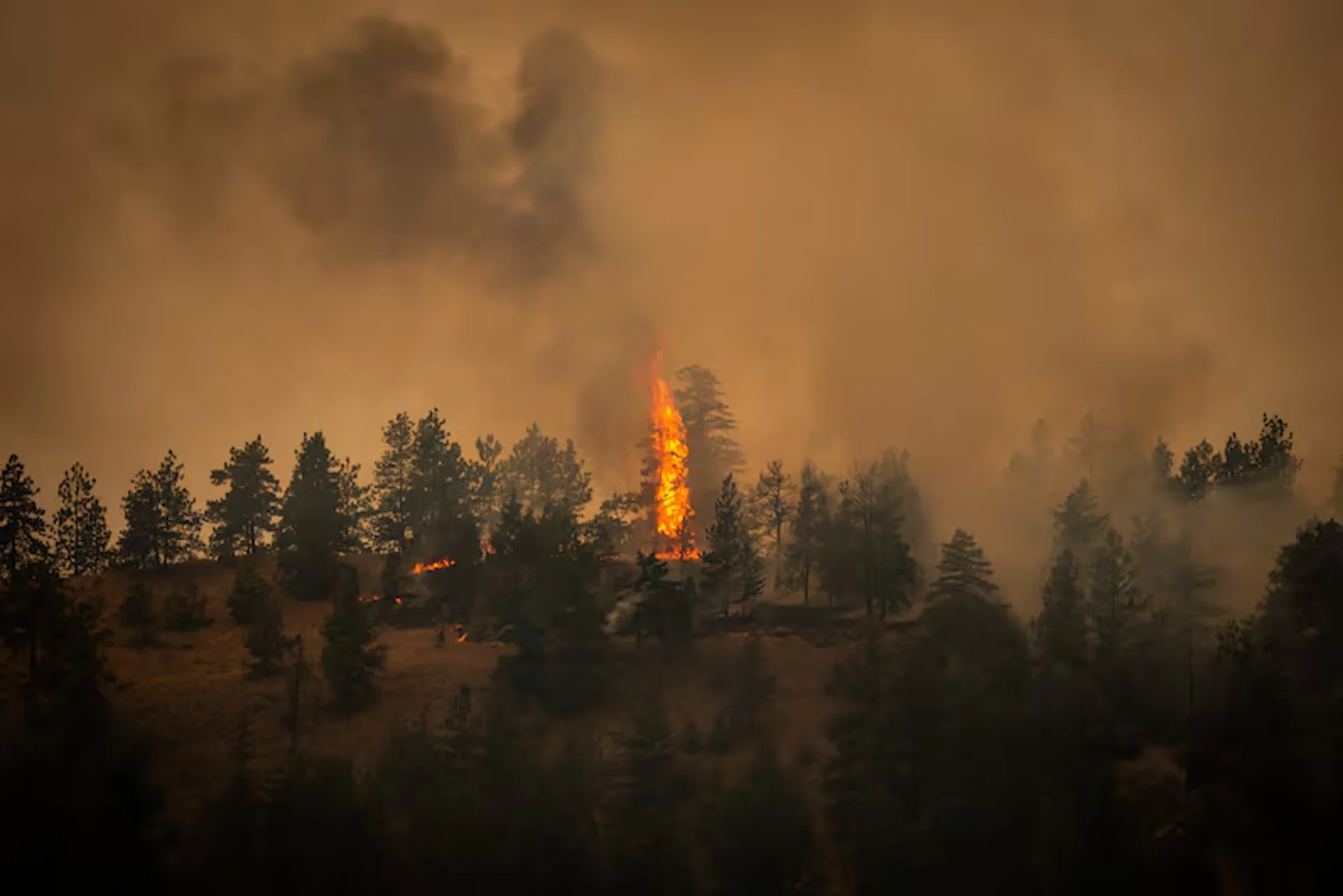
Tree are pictured on fire due to the Bald Range wildfire in Summerland, British Columbia, on Saturday, Aug. 8, 2026. (Ben Nelms/CBC)
Staying on the west bank, farther south, the Quilpituk Creek wildfire is burning at just over one square kilometre as of Friday night.
Over 2,600 properties remained under evacuation order and another 312 on evacuation alert overnight due to this fire.
Since Thursday, the Ainslie Creek wildfire, part of the Brunswick Complex, has grown more than 50 square kilometres.
The BCWS said it continues to see active fire in the area above Highway 1 around Hell's Gate.
Air quality warnings
Air quality warnings are in effect for several parts of the province due to wildfire smoke.
Provincial authorities say "smoke impacts remain widespread" throughout B.C.'s central and southern Interior regions, and "no significant clearing" is expected today.
Several areas, including the cities of Kelowna, Kamloops and Vernon, were under a "moderate," orange air quality warning.
That means residents should consider reducing any strenuous outdoor activities if they're experiencing symptoms such as coughing or throat irritation, the province says on its website.
Highway closures
Several highway closures are in place due to wildfires in the province.
Highway 1 remains closed for about 40 kilometres between Yale and Boston Bar.
Highway 97 is closed for a stretch from around Hardy Street in the south side of Peachland to the Pyramid Picnic Area in Kickininee Provincial Park, located south of Summerland, due to the Bald Range fire.
North of that, Westside Road is closed for a 50 kilometre stretch due to the Quilpituk Creek fire.
Highway 97 is also closed for a 60 kilometre stretch through Clinton due to the Big Bar Complex wildfires.
This article, written by Michelle Gomez and Arden McLeod, was originally published by CBC News on Aug. 8, 2026. It contains files from Sia Foryoh.