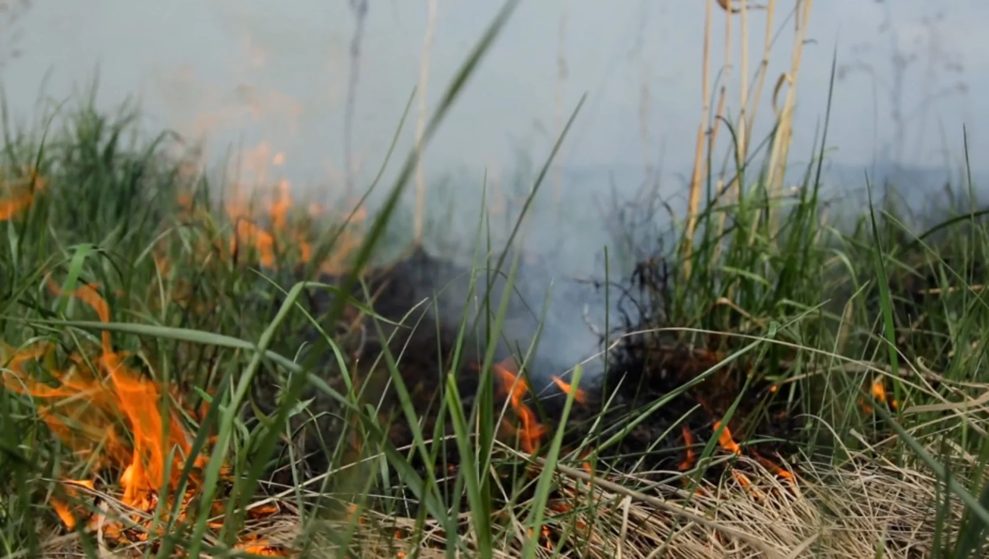
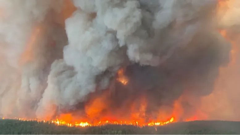
WILDFIRES IN CANADA
Welcome to The Weather Network's hub for all wildfire information in Canada
Stay informed with the latest updates on wildfires across the country, including safety tips and impacts in your local area.
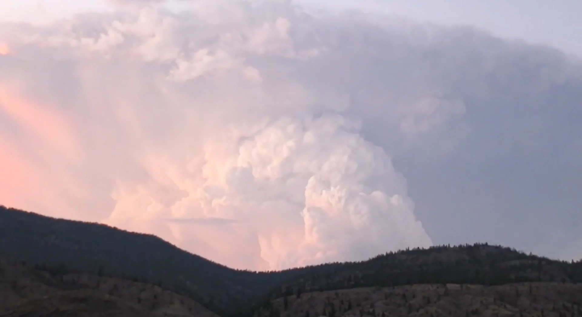
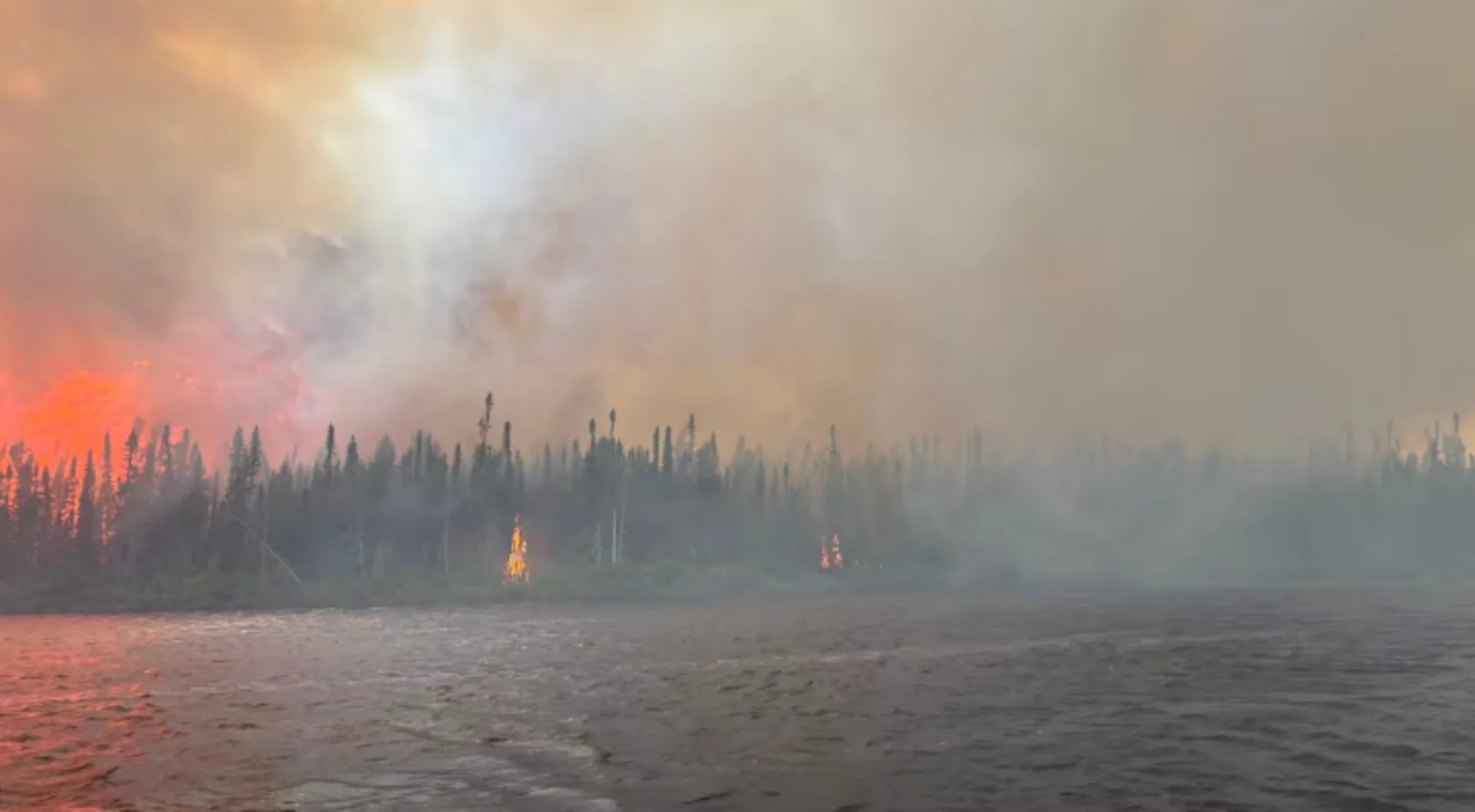
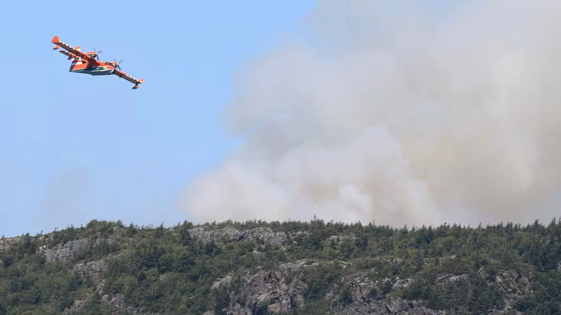
Watch The Weather Network's wildfire content
Fire hotspots and forecast of smoke particles
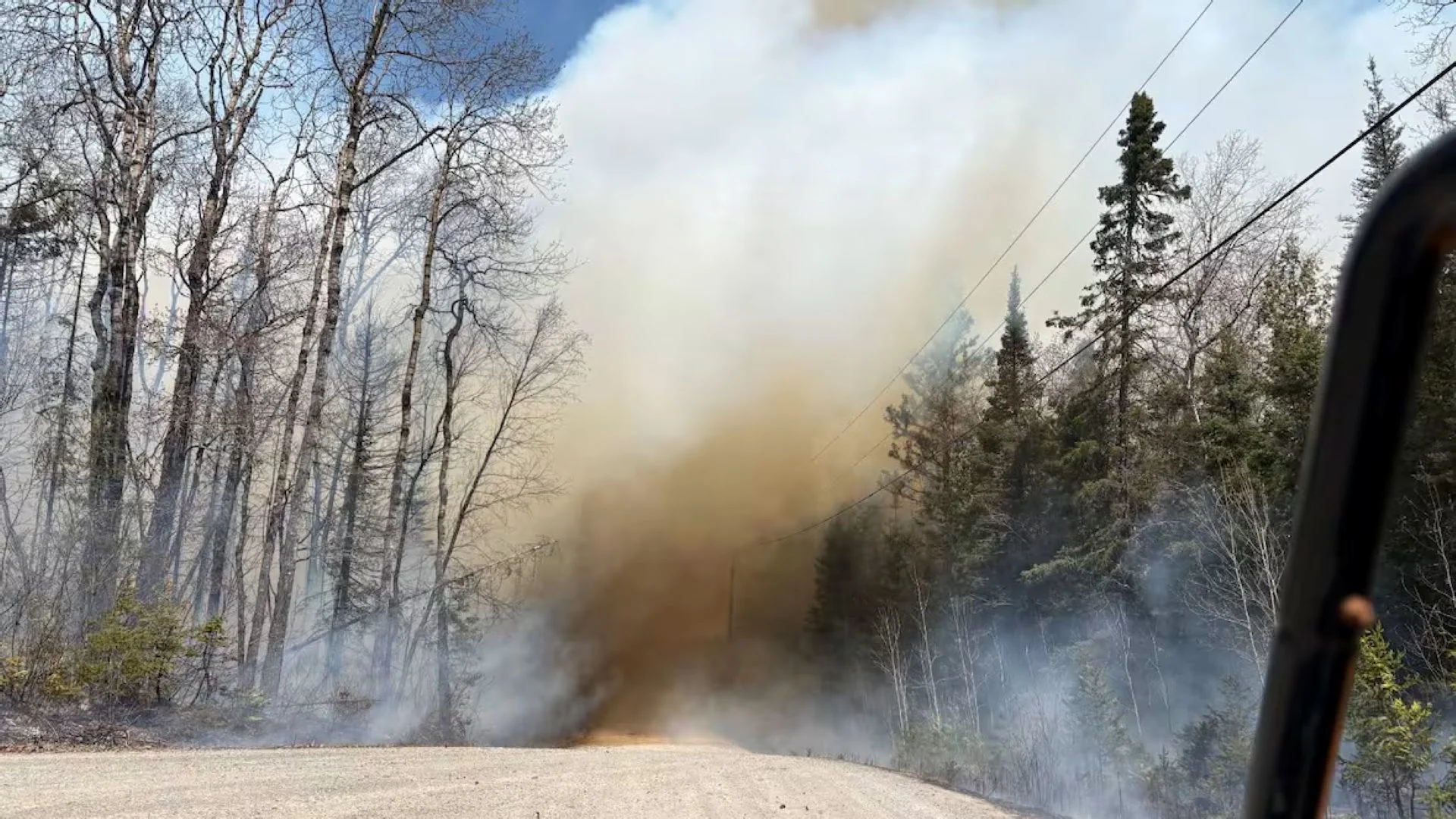
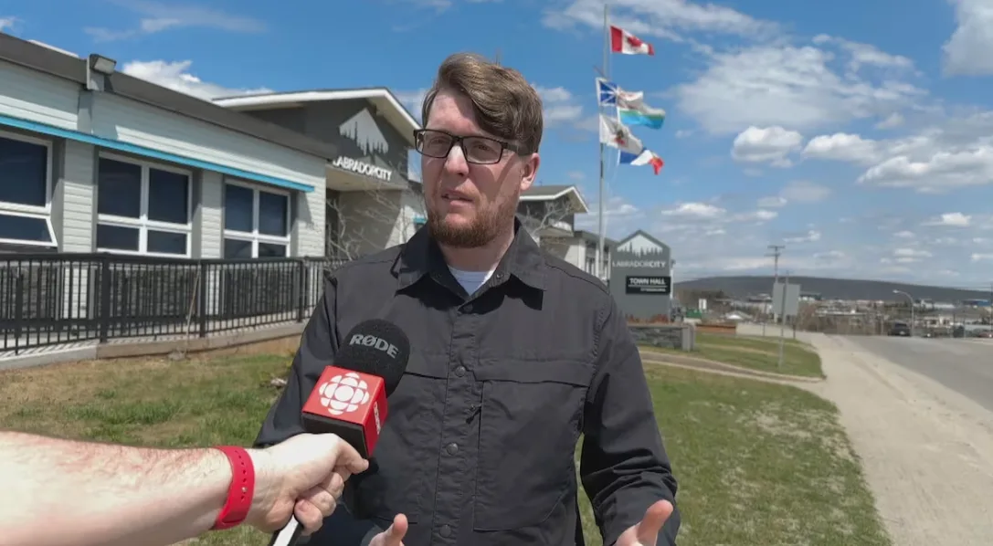
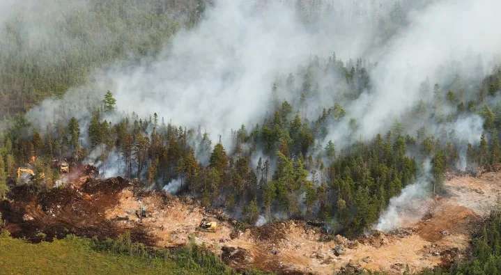
LATEST NEWS

Content continues below
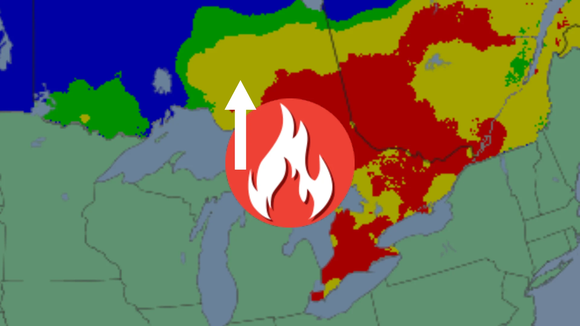
FIRE DANGER RATING
The Fire Danger rating is an index of how easy vegetation could be ignited, how difficult it would be to control a fire, and the potential damage a fire could do under these conditions.
- Low - Fires likely to be self-extinguishing, new ignitions unlikely, existing fires limited to smoldering in deep, drier layers.
- Moderate - Creeping/gentle surface fires, easily contained by ground crews.
- High - Moderate to vigorous surface fire, challenging for ground crews to handle.
- Very High - High-intensity fire, fire conditions beyond the ability of ground crews, air attack with retardant required.
- Extreme - Fast-spreading, high-intensity fire, very difficult to control, suppression actions limited to flanks.
- Nil - No calculations were performed for this region.
Click image for larger version. Source: Natural Resources Canada (Canadian Forest Service. 2022. Canadian Wildland Fire Information System (CWFIS), Natural Resources Canada, Canadian Forest Service, Northern Forestry Centre, Edmonton, Alberta.).
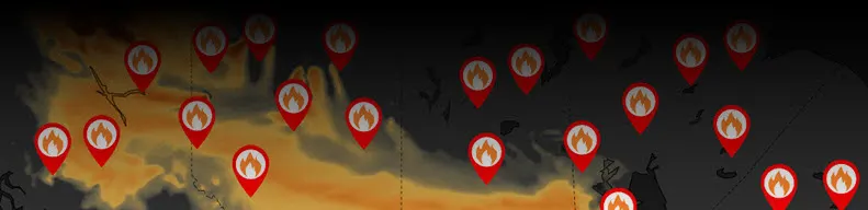
FIRE HOTSPOTS
The FireM3 Hotspot map indicates where satellite imagery has detected high infrared intensity, indicating a heat source. Known heat sources, such as industrial sources, are removed. A hotspot could be a single fire. Several hotspots could represent a larger fire. It is important to note that not all fires are able to be identified by satellite technology.
- - Red icons indicate hotspots detected within the past 6 hours.
- - Orange icons indicate hotspots detected within the past 6-12 hours.
- - Yellow icons indicate hotspots detected within the past 12-24 hours.
- - Not all fires can be identified via satellite imagery.
- - Known heat sources, such as industrial sources, are filtered out.
Click image for larger version. Source: Natural Resources Canada (Canadian Forest Service. 2022. Canadian Wildland Fire Information System (CWFIS), Natural Resources Canada, Canadian Forest Service, Northern Forestry Centre, Edmonton, Alberta.).
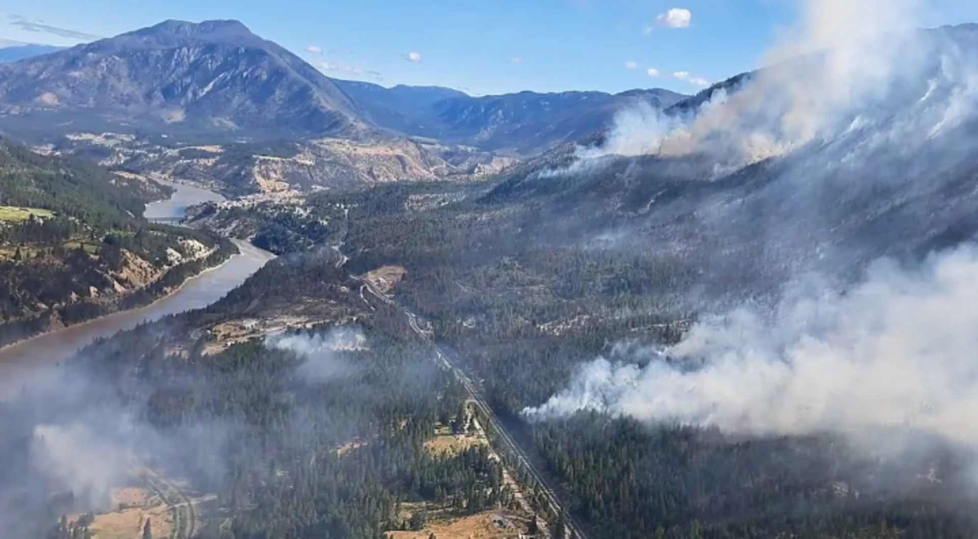
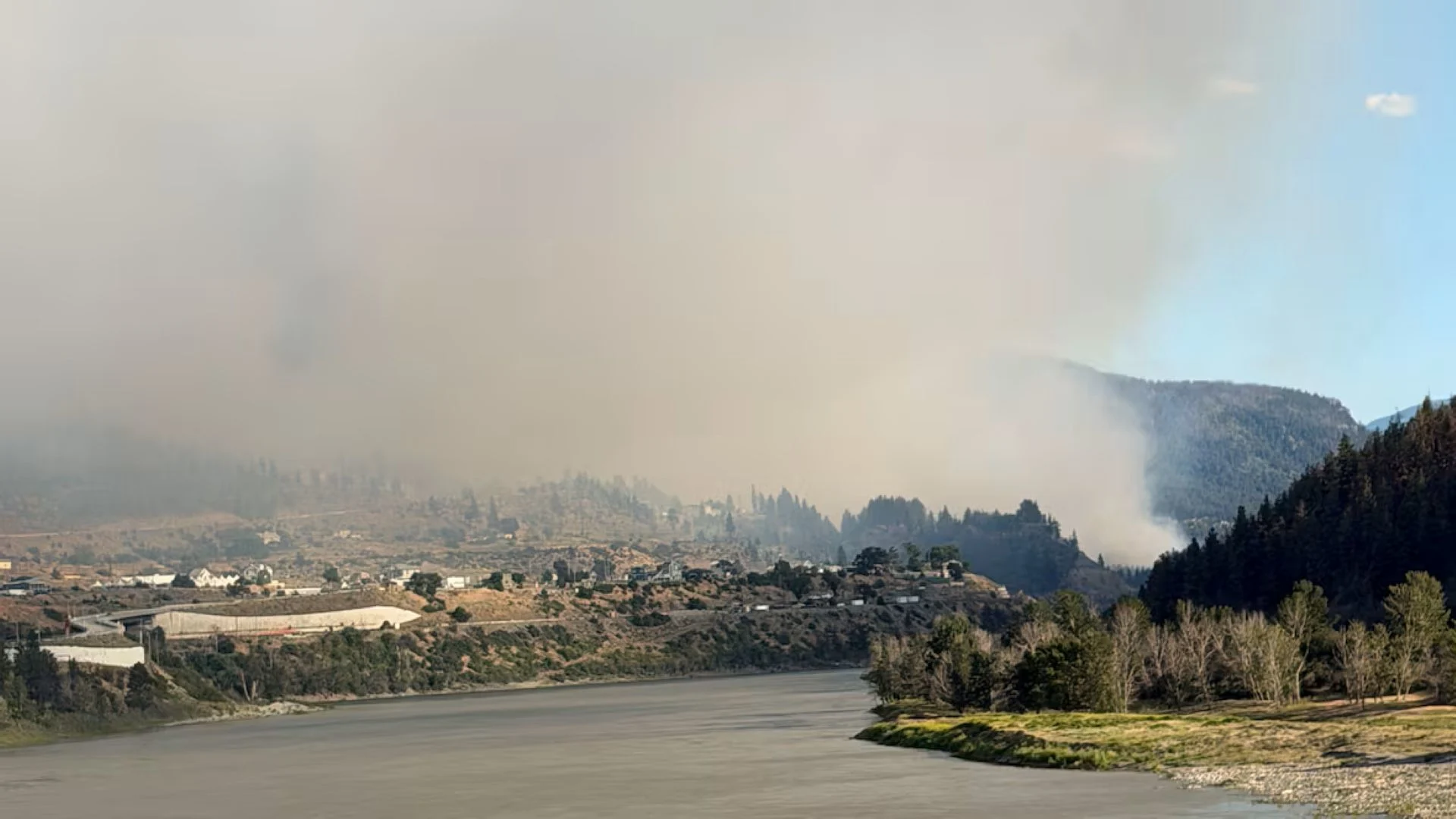
WESTERN CANADA
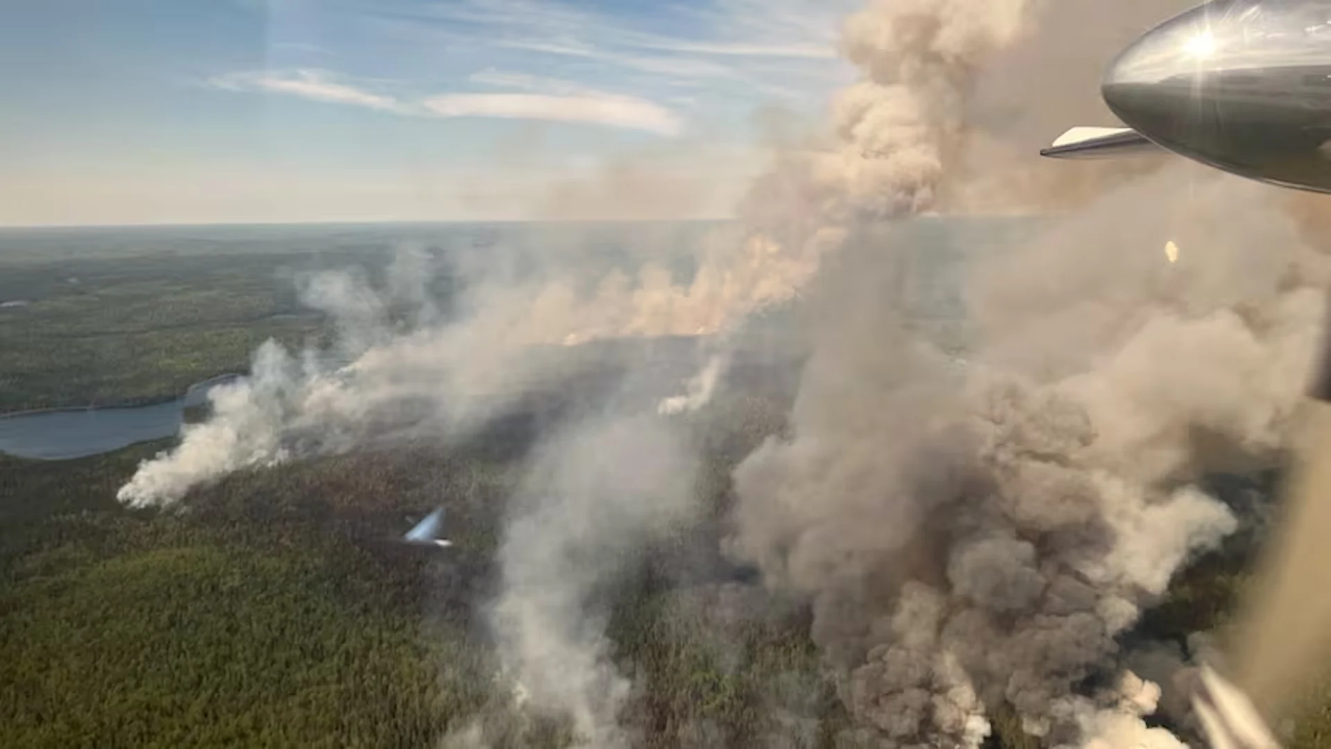
ONTARIO & QUEBEC
ATLANTIC CANADA
GOVERNMENT RESOURCES
Links to national, provincial, and territorial government fire resources with information on current wildfire status, emergency alerts, and safety information.

| Canada | |
| British Columbia | Alberta |
| Saskatchewan | Manitoba |
| Ontario | Quebec |
| New Brunswick | Nova Scotia |
| Prince Edward Island | Newfoundland & Labrador |
| Yukon | Northwest Territories |
| Nunavut | |
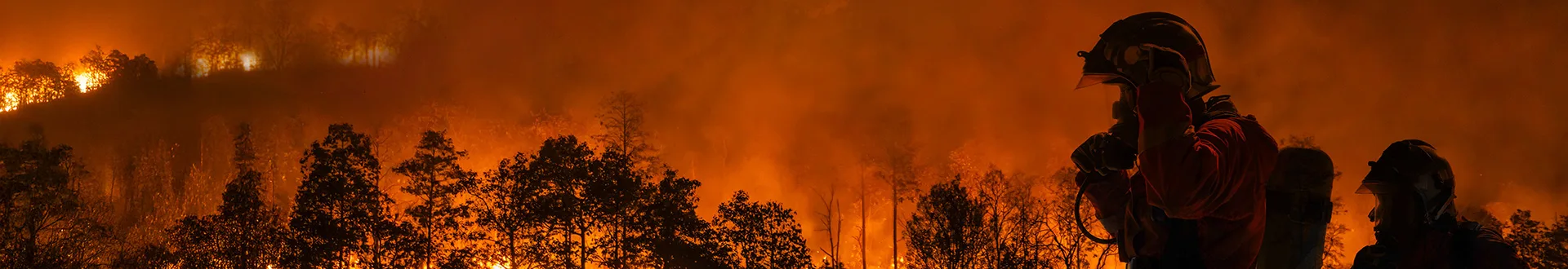
Image: A firefighter observes the Donnie Creek wildfire from a plane on August 28, 2023. (B.C. Wildfire Service)
WILDFIRE SAFETY & INFORMATION


Back to Top