Spring storm wreaks havoc on the Prairies, prompting travel delays, closures

Winter storm warnings plague both Saskatchewan and Manitoba as a low-pressure system sweeps across the Prairies. Travel delays and closures are expected throughout the day.
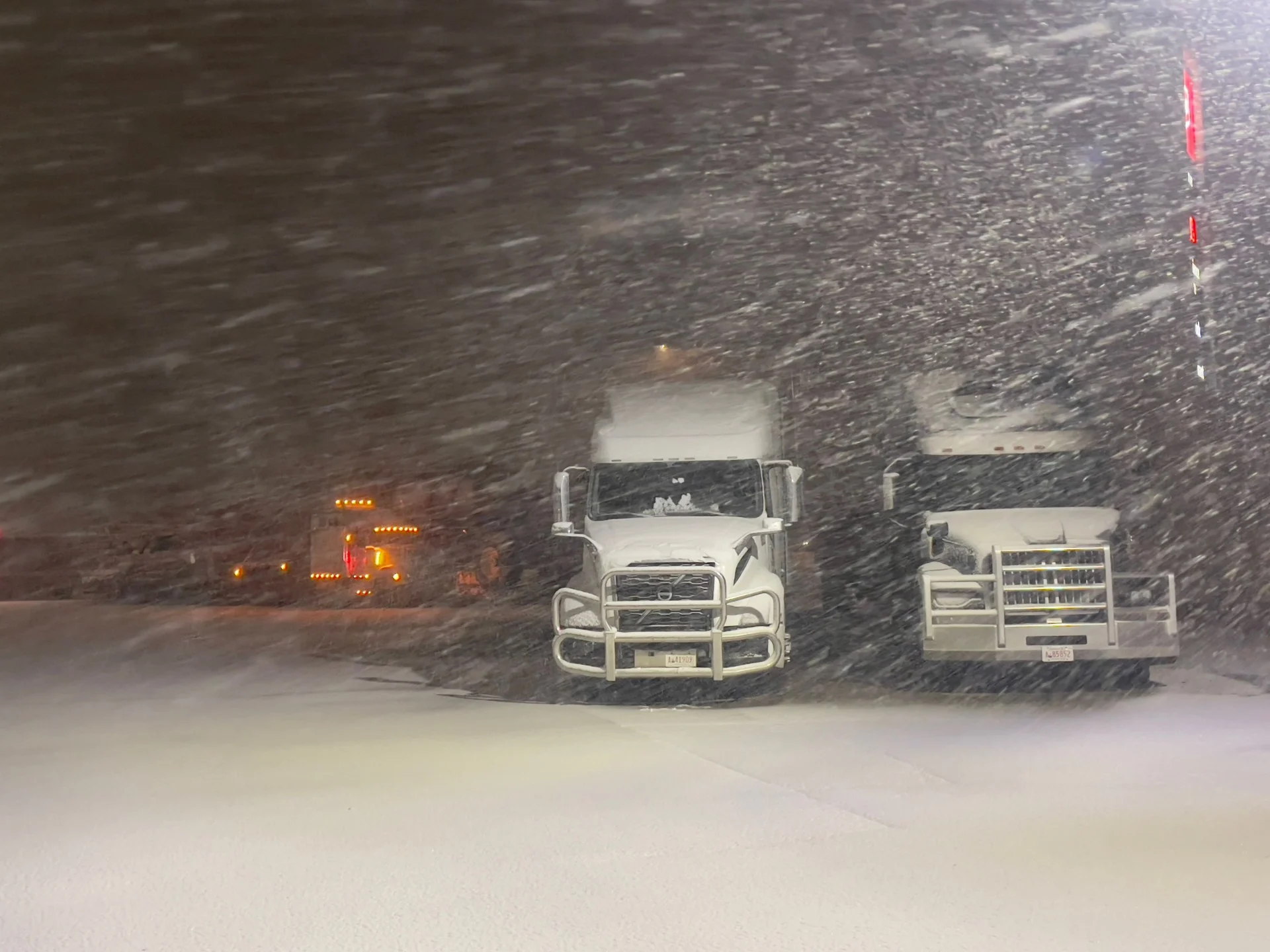
Travel conditions remain perilous as a potent spring storm passes through parts of the Prairies through Thursday. A low-pressure system originating near the Canada- U.S. border brought heavy snowfall to southeastern Saskatchewan and southwestern Manitoba early Wednesday morning. This storm system has the potential to bring almost 40 cm of snow to parts of the region by Friday.
The region saw the heaviest snowfall on Wednesday, with howling winds and blizzard-like conditions. Snowfall rates were forecast to reach 1-3 cm an hour and residents were urged to prepare for power outages and closures as the storm continues.
SEE MORE: Winter warnings line the Prairies for potent spring snowstorm, dangerous travel
“Rapidly accumulating snow could make travel difficult over some locations,” says Environment and Climate Change Canada. “ Visibility will be suddenly reduced to near zero at times in heavy snow and blowing snow.” The agency also urged residents to consider postponing non-essential travel until conditions improve.
The hardest-hit areas have the potential to see 20-40 cm of snow, along with wind gusts of up to 60-80 km/h.
The snowfall will continue into Friday morning, before tapering off into flurries as well as moving eastward.
See the Tweets below for more on the impact of this storm:
WATCH NOW: Saskatoon beaver in mid-April snowfall
Thumbnail courtesy of Jenny Hagan.
Stay tuned to The Weather Network for the latest forecast updates on the Prairies.