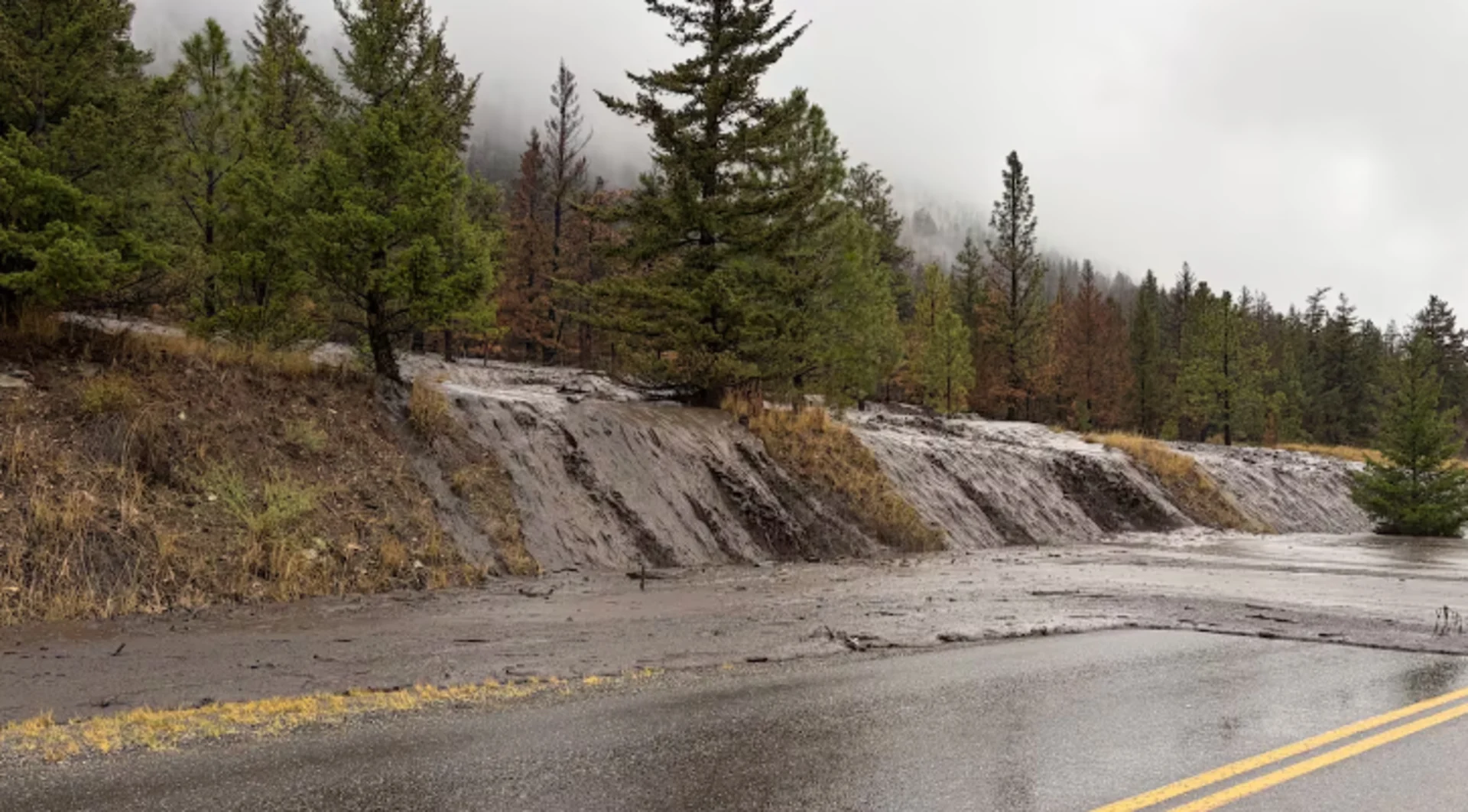
Risk of landslides in Cariboo following Pear Lake wildfire: report

There is a high risk of landslides, floods and debris flow in parts of the Cariboo region after a massive wildfire earlier this year, according to a preliminary report released by B.C.'s Ministry of Forests.
The Pear Lake wildfire scorched more than 1,600 square kilometres of land — a little more than half the size of Metro Vancouver — in the Clinton area. It was the largest fire in B.C. this year.
More than one hundred structures were destroyed in the blaze and hundreds of properties were ordered to be evacuated.
RELATED: Why we see floods following fires: A tale of two extremes
The provincial report assessed geotechnical and hydrological risks in areas impacted by the fire.
Roads, railways and properties are most at risk, according to the ministry report.
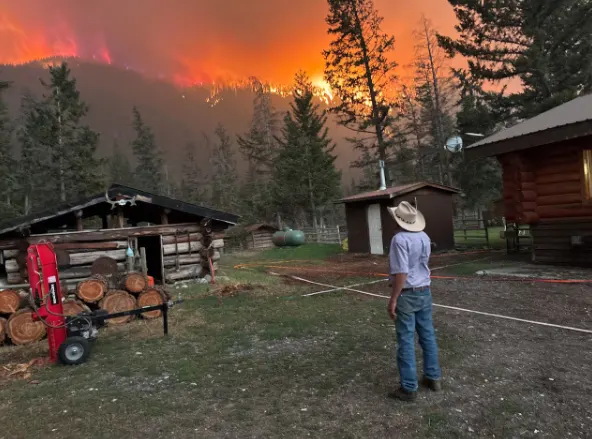
Gill Kurtz, owner of the Hitchin’ Post Ranch near Clinton, looks on as the Pear Lake wildfire approaches his property. More than 12 hectares of land on the ranch was burned in the fire. (Submitted by Nor Parke)
On Monday, the Thompson Nicola Regional District issued a warning to affected residents.
TNRD communications manager Colton Davies said risk is highest in the two years after a wildfire. He said risk increases when rain is in the forecast and during spring freshet, when snowmelt increases river flows in spring.
"The message and the concern is mainly for homes, or for property owners, that are near creek beds or riverbeds or at the base of steep slopes, where the terrain upslope has burned severely," he said.
Davies said wildfires generally elevate landslide risk because natural drainage systems are destroyed and scorched earth repels water.
As a result, soil no longer absorbs rainfall and snowmelt, and water slides on the soil's surface.
Landslide reported
Issues have already sprung up in the Clinton area.
Nor Parke is owner of the Hitchin' Post Ranch, which saw 12.14 hectares (30 acres) of land burned in the Pear Lake wildfire.
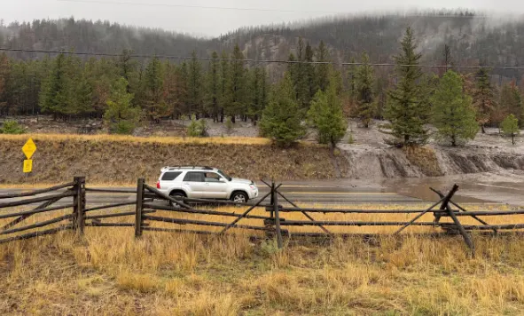
Traffic was temporarily halted on a road in the Cariboo due to a landslide following the Pear Lake wildfire. (Submitted by Dori Hampton via CBC News)
No injuries occurred and no structures were lost.
However, she said rain about a month ago caused a nearby creek dam to build up with soot and debris from the fire, and it flooded a road.
DON'T MISS: Canada loses its last ecosystem of this kind after an ice-shelf split
It happened in an area located about five kilometres west of her ranch.
"The road was impassable for about a day, I would say," Parke said.
"The same night, another landslide developed west of that by about three kilometres and another one came down. It's since been cleared up, [crews] have done a good job of cleaning it all up."
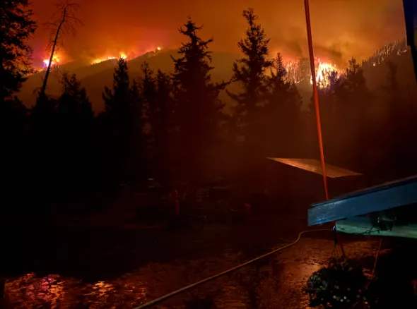
The Pear Lake wildfire burned more than 1,600 square kilometres in the Clinton area and was deemed to be B.C.’s largest wildfire of the summer. (Submitted by Nor Parke via CBC News)
Parke said B.C. Hydro workers have also been helping neighbours divert possible landslides.
Meanwhile, property owners are eagerly watching weather forecasts.
"We're hopeful it doesn't happen again," Parke said.
The province is working on a more detailed report on post-wildfire hazard risk for the area. It is expected to be completed in December.
This article, written by Jessica Wallace, was originally published for CBC News.
Thumbnail image courtesy of Dori Hampton via CBC News.