Ice falls in Hollywood as wild setup fans Calif. blizzards, historic heat

A stretch of extreme weather across North America brought blizzards to southern California and historic levels of summerlike heat to the eastern states.
Ice fell near California’s world-famous Hollywood Sign on Thursday, a remarkable wintry scene for a spot overlooking the star-studded Los Angeles neighbourhood known for its perennial sunshine and pool-worthy warmth.
And that wasn’t even the strangest weather we’ve seen across North America this week.
Blizzard warnings crept into the San Diego area for the first time on record just as dozens of communities across the eastern United States notched their warmest temperatures ever measured during the month of February.
READ MORE: Blizzard near Los Angeles? Bizarre pattern spawns historic heat, ice storm
It’s a pattern we'll remember for years as we close out the final days of meteorological winter.
This hyperactive weather south of the border comes courtesy of the same setup that brought a highly disruptive winter storm to Ontario earlier this week. A treacherous mix of snow, ice pellets, and freezing rain knocked out power to thousands across southern Ontario and made travel nearly impossible at times.
Frigid temperatures behind the storm blanketed Canada from coast to coast to end the week. Friday’s alerts map showed a spate of cold warnings that stretched from B.C.’s Whistler to Gander, Newfoundland.

READ MORE: There’s plenty of winter left. Fight off those seasonal blues with these 9 suggestions
The active weather across Canada was only part of the incredible period of extremes we’ve seen across the continent this week.
A sharp trough in the western United States allowed unusually cold air to spill deep into the heart of sunny California, bringing snow to many of the state’s higher elevations and even prompting blizzard warnings near Los Angeles for the first time since 1989.
Residents near the famous Hollywood Sign, nestled in the Santa Monica Mountains on the northwest side of Los Angeles, widely reported wintry precipitation falling around the area on Thursday morning.
The cold and snow jutted even farther into uncommon territory by the end of the week, forcing the U.S. National Weather Service in San Diego to issue the office’s first-ever blizzard warning to cover the San Bernardino County Mountains.

Some mountainous areas in southern California could see up to two metres of wind-driven snow blanket the ground by Saturday morning.
__WATCH: 'A bonafide blizzard' to hit California while summerlike warmth bathes east __
Warmer temperatures closer to the coast allowed thunderstorms to roll ashore in southern and central parts of the state.
A possible tornado touched down near Santa Cruz, about 110 km south of San Francisco, during a storm in the pre-dawn hours on Friday. The U.S. Storm Prediction Center reported another possible tornado in coastal Los Angeles County on Thursday.
Farther east, a major burst of heat covered parts of the southeastern United States as a ridge of high pressure aloft combined with southerly winds streaming into Ontario’s winter storm.
Afternoon temperatures on Wednesday and Thursday soared into the upper 20s and even breached the 30-degree mark in many spots. High temperatures this warm are more common in late May and early June across the southeastern U.S.

Dozens of towns from Mississippi to Maryland tied or shattered their all-time monthly high temperature records for February.
The cities of Atlanta, Georgia; Nashville, Tennessee; and Raleigh, North Carolina all saw their warmest temperature ever recorded in the month of February. Jackson, Mississippi, broke its record with a searing high of 30.5°C (87°F) on Thursday.
The monthly high-temperature record fell as far north as Washington’s Dulles Airport, located about 40 km west of the nation’s capital. The temperature there on Thursday reached 26.6°C (80°F), far exceeding the airport’s seasonal high of about 8.8°C (48°F) for the date.
READ MORE: Stay alert: Another impactful storm eyeing Ontario early next week

Conditions will gradually calm down across California as the trough moves east this weekend, and temperatures across the eastern half of the U.S. will briefly fall back to more seasonable levels this weekend before a return to springlike warmth next week.
A potent Colorado low will develop this weekend as that western trough traverses the Rockies. We’ll watch that low track toward southern Ontario by early next week, potentially bringing another round of major winter weather to the region.
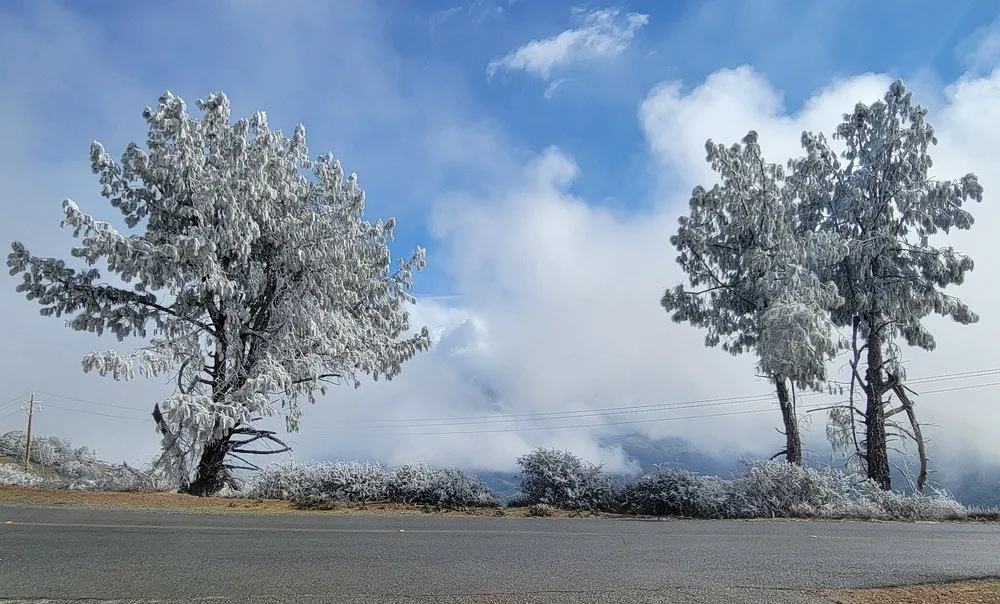
Thumbnail image from Mount Diablo, Calif., courtesy of Julie Satchel.