Why El Niño won't slow down the bustling Atlantic hurricane season

As we check in on the Atlantic hurricane season that is just passed the halfway mark, a record has been broken. Nigel's formation three days ago gave the Atlantic its most named storms on record between Aug. 20 and Sept. 16.
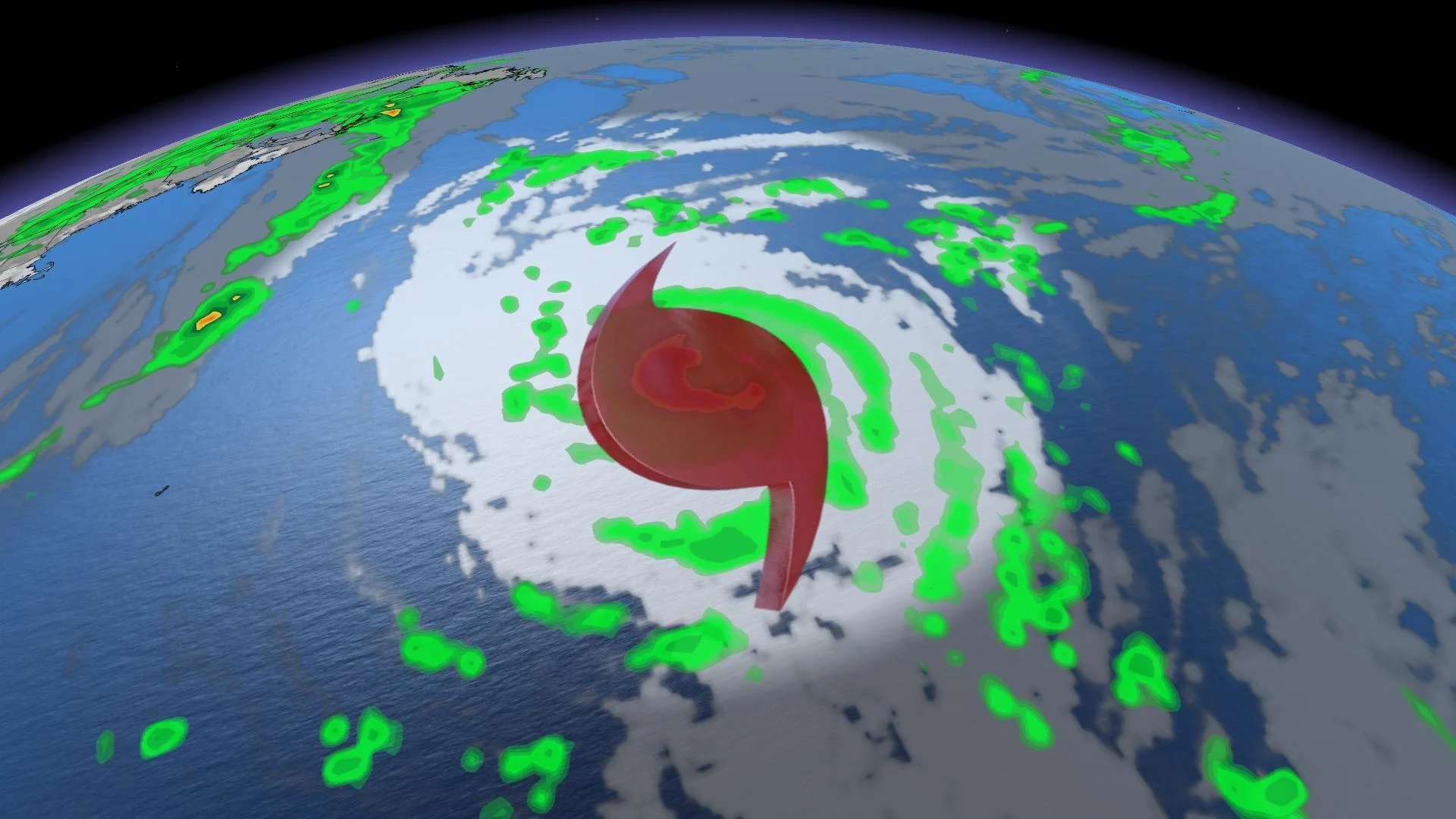
With hurricane Lee come and gone, and Nigel currently churning in the Atlantic, you might be wondering what lies ahead for the remainder of hurricane season since we are now passed the official peak of it (Sept. 10).
With El Niño here, it typically results in atmospheric conditions that help lessen tropical activity during the Atlantic hurricane season.
RELATED: What a growing El Niño could mean for Canada’s upcoming winter
However, that hasn't been the case this year and it won't be for what's left of season, which ends Nov. 30.
In fact, as we check in on the season that just passed the halfway mark, a record has been broken.
With Nigel forming three days ago, we have now seen the most named storms on record between Aug. 20 and Sept. 16. The previous record during that period of time was nine named storms in 2020.
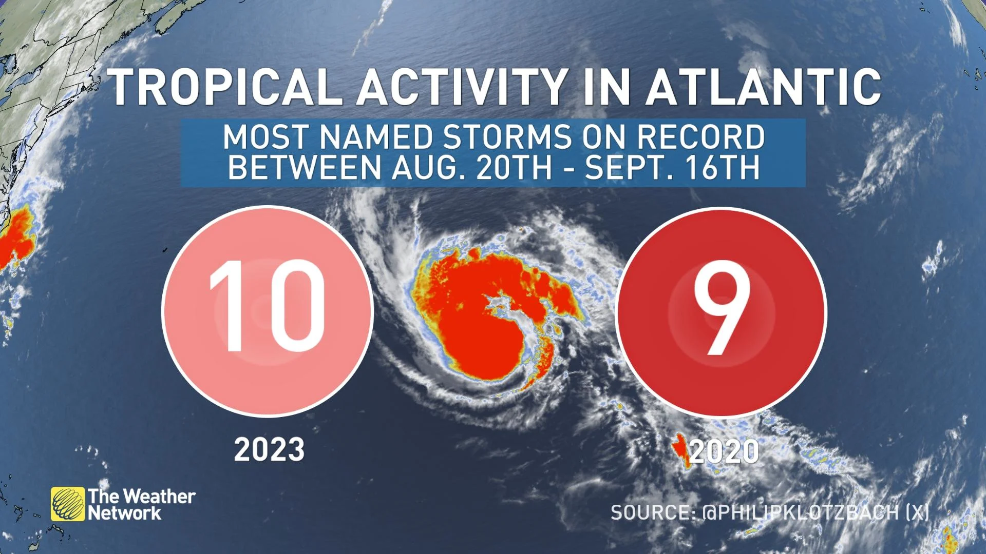
"When we look back at 2020s, it was an incredibly hyperactive season with a total of 30 storms. However, it happened during a La Nina year, which is a pattern setup that generally points to a busier tropical season versus an El Niño year, which we are in now," said Nicole Karkic, a meteorologist at The Weather Network.
With Nigel coming to fruition, we have seen 15 named storms in the current Atlantic hurricane season so far.
What's driving the active season during an El Niño year?
Current ocean and atmospheric conditions, such as the record-warm Atlantic sea surface temperatures, are counterbalancing the effects of the ongoing El Niño, which normally limits atmospheric conditions associated with it, NOAA said in its August update on the 2023 season.

The balancing act that’s normally tipped towards a quieter season because of El Niño isn’t tipping that way, due to the ample fuel warmer waters offer.
"We will continue to keep an eye on the season, which still has plenty of time, yet," said Karkic.
Some of the biggest sea surface temperature anomalies lurk in the Gulf of Mexico, where the high heat content of the water means the area will have to be closely watched for major hurricane activity through the remainder of the season.
With files from Nicole Karkic, meteorologist at The Weather Network.
Follow Nathan Howes on the X platform, formerly known as Twitter.