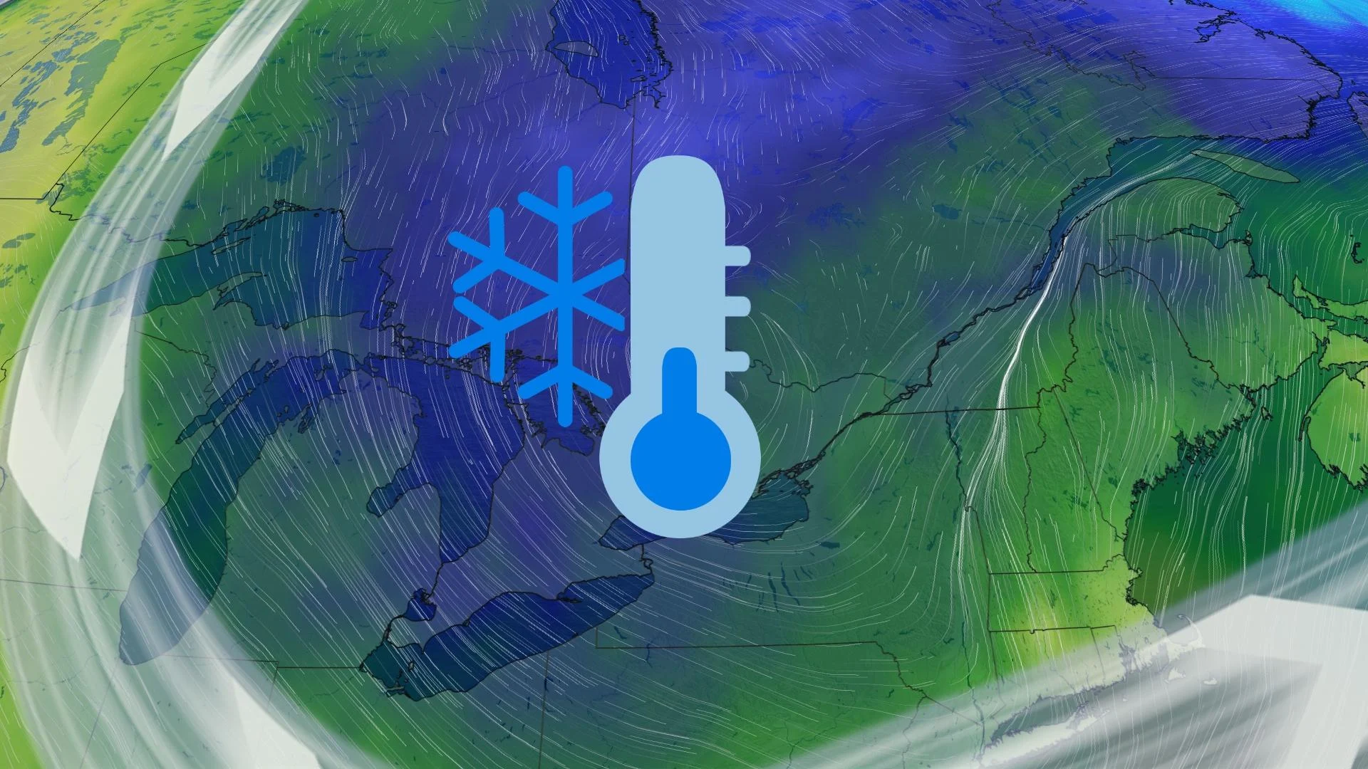
Cool air, snow risk on tap for St. Patrick’s Day in southern Ontario
Ontario’s enjoyed some tastes of spring lately, but the next few days will offer a March reality check for the region
This weekend will end on a chillier note than it began as cool winds sweep across southern and eastern Ontario heading into St. Patrick’s Day.
Folks heading out to enjoy parades and some backyard celebrations may encounter occasional rain and snow showers as the day goes on.
This cooler and unsettled pattern looks to dig in across the region into next week.
DON'T MISS: Canada's spring gets sidelined as winter fights back for start of the season
Sunday: Cool winds bring a risk for snow
A cold front diving into southern and eastern Ontario will shift our wind direction and bring a risk for rain and snow showers to parts of the region.
Westerly winds in the 30-60 km/h range will give rise to lake-effect flurries across central Ontario, as well as for the traditional snowbelt regions near Lake Huron and Georgian Bay.

Some rain and mixed precipitation is likely for places along Lake Ontario and Lake Erie. A risk for more organized snowfall will exist across northeastern Ontario.
The breezy conditions may create localized blowing snow and reduced visibility.
RELATED: St. Patrick's Day green traditions linked to these weather patterns
Monday: Burst of flurries moves through, colder weather hangs on
More widespread bursts of snow are expected by Monday as colder air settles into the region. Lake-effect bands are likely to develop southeast of Lake Huron and Georgian Bay. We’ll also see some snow in eastern Ontario. There could be brief periods of reduced visibility through the morning hours.

A trough sinking south will bring a burst of flurries to southern Ontario early Monday morning.
Northwesterly winds may gust up to 60 km/h, continuing the feed of chilly air from northern Ontario.
These lake-effect bands will continue into Tuesday and temperatures will fall a few degrees cooler than seasonal.

Forecasters see an unsettled week ahead as several disturbances look to track across the Great Lakes. While temperatures will remain around seasonal, that’s still cold enough to support the threat for wintry precipitation. Check back over the next few days for the latest details on these systems.
Stay with The Weather Network for the latest on your forecast across Ontario.