
Winter loosens its grip in Central Canada, but it's not over, yet

After getting through this weekend's Arctic outbreak, winter looks to loosen its grip across Central Canada, but it's not an indication the season is finished with the region, just yet.
There have been a few big and impactful winter storms across Central Canada this year, with historical snowfall amounts even reported in parts of Ontario back in January. While snowbanks remain high and most grounds are still snow covered, the active storm track has now completely slowed, with just smaller, weaker and less impactful systems moving through the region this past week.
But why is that? What has essentially stalled the storm track through the heart of the winter season? It all comes down to the bigger weather pattern that's taking shape across the country.
The jet stream is the main driver for weather patterns and is currently in a northwesterly flow, which usually brings in colder conditions and lacks moisture transport. This pattern brings in systems from the West -- we've all heard of Alberta clippers -- and these systems usually move faster and typically have less precipitation associated with them as well.

The current pattern is conducive to these smaller benign systems and is going to continue through early this week for both Ontario and Quebec.
FINAL ROUND OF TRULY FRIGID WEATHER?
Arctic air returned this weekend, as temperatures fell sharply Saturday in southern Ontario and Quebec. On Sunday, daytime highs are expected to dip down to the minus double digits.
While the colder conditions will last into Tuesday, this doesn't spell the end of winter, however.
The current colder temperatures will give way to a milder pattern, which has the potential to linger through the remainder of February. And though winter won't be coming to an end, it may have turned the corner as we look forward to lengthening daylight and a positive trend in normal temperatures as we head towards the spring equinox.
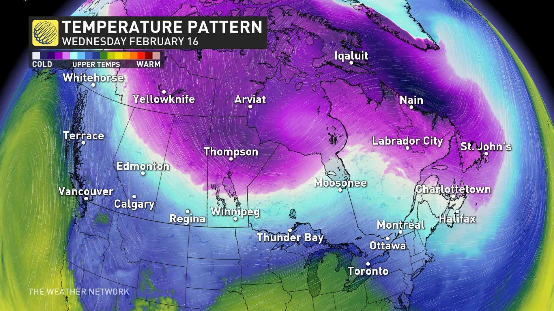
As for this week, much warmer weather will span the region Wednesday, as temperatures climb well above freezing and sunshine splashes through. There is, however, a period of unsettled and messy weather expected later this week, as Central Canada becomes the battleground between very mild air to the south and colder air to the north. This is a baroclinic zone and is a pattern more conducive to transporting moisture from the Gulf of Mexico towards Ontario and Quebec.
A system or two are expected to track along that boundary, but it is still too early to know exactly where the boundary will be. At this point, it looks like southern Ontario and Quebec will see some heavier rain followed by the potential for some ice and snow. Heavy snow is possible further to the north for the northern Great Lakes and into central Quebec.
We're watching the potential for a taste of early spring at the end of February and into the beginning of March for southern Ontario and Quebec, but keep in mind, it is highly unlikely we are completely finished with the winter weather just yet.
With files from meteorologist Matt Grinter.
Thumbnail courtesy of Barbara Olsen from Pexels.