Some of winter’s coldest air headed for Ontario behind snowy clipper

A messy mix of rain and snow could make the Friday evening commute a tricky one. Beyond, we’re staring down a frigid weekend across Ontario.
Winter isn’t over, yet, and a cold front sweeping into Ontario will only serve to underscore that brutal fact.
A potent clipper will bring accumulating snowfall to Ontario to wrap up the workweek. The snow could hamper travel in spots. Behind the snow, another shot of Arctic air this weekend will usher in some of the season’s chilliest temperatures through early next week. More on what to expect through the weekend, below.
DON’T MISS: Here's how to stock your vehicle's emergency kit, BEFORE you get stranded
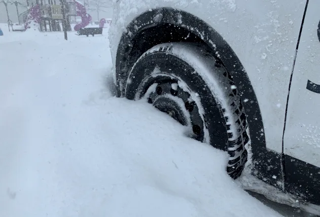
FRIDAY: SNOW COULD HAMPER FRIDAY EVENING COMMUTE
A clipper system diving south out of the Prairies will spread snow across parts of northern Ontario overnight Thursday into Friday morning. Snow will then fill in across the south through the day on Friday.
Snow may hold off to keep the majority of the GTA’s Friday morning commute snow-free, but the drive home won’t be so lucky. A messy, wintry mix of snow and rain is expected as temperatures hover near the freezing mark.

Snowfall accumulations will remain light through the GTA, with less than 3 cm for the majority of the region.
The heaviest totals will fall near the Lake Huron and Georgian Bay shorelines, where communities can expect 5-15 cm through Saturday morning. Slick roads and periods of lower visibility could make for hazardous travel across this area.
Snow will pull away from the region overnight Friday into Saturday morning for most of Ontario, with lake-effect snow lingering near Lake Huron and Georgian Bay.
LOOK AHEAD: FRIGID WEEKEND AHEAD, POTENTIAL UNSETTLED PATTERN NEXT WEEK
A blast of colder air will flood in behind the clipper. The cold front will cross Ontario on Saturday; the day’s high temperature will happen early, and temperatures will fall throughout the day.
Sunday is going to be downright cold, with frigid daytime highs expected to dip into the minus double digits across the region. This cold air will linger through Tuesday of next week. Much milder weather is on tap by midweek.

Forecasters are watching the potential for unsettled weather heading into the latter half of next week.
A boundary will set up across Ontario and Quebec, dividing mild air to the south and colder air to the north. This boundary could serve as a track for one or more systems to move across the region. This pattern could bring significant rain, ice, and snow to the region, but it’s still too early to have confidence in local impacts.
Subscribe to 'This Day in Weather History': Apple Podcasts | Amazon Alexa | Google Assistant | Spotify | Google Podcasts | iHeartRadio | Overcast'
Check back for the latest forecast across Ontario.