Winter finally shows up in southern B.C. with first bout of snow for many
Better late than never as winter will finally appear in southern B.C. Snow is forecast across the Lower Mainland and Interior regions this week. Stay prepared for cooler temperatures and changing road conditions.
Some southern B.C. locales nearly made it the entire without snow, but it looks like the snowless streak will come to an end this week.
Chances for snow return to B.C. Could Vancouver’s snowless streak end on Monday and Tuesday? Odds are, for lots of regions, yes.
DON'T MISS: El Niño is possible later this year as La Niña fades
A pattern flip on the way this week looks to bring some cooler temperatures and precipitation to the region. Many will see their first snowfall of the season across the South Coast over the next few days.
A trough finally returns to the West into this week
We’re looking ahead to a pattern flip that will allow a trough to begin digging across Western Canada. A series of upper-level lows will reinforce the trough, affording numerous chances for precipitation.

As a cold trough approaches the coast on Monday, showers will begin to mix with wet snow from Campbell River to the Lower Mainland.
No significant accumulation at sea level through Monday afternoon, but by the evening and overnight, the freezing level falls and wet snow is forecast to develop across the Lower Mainland.
Locally, 5+ cm of snowfall is possible across higher terrain, with 1-3 cm more common across lower elevations of eastern Vancouver Island.

Sunshine Coast is dealing with bursts of wet snow for Powell River (5-10 cm across higher terrain) through Tuesday.
In the Interior, as the trough dives south on Monday, widespread snowfall is forecast across a big swath of the province, including central and northern regions with Arctic air sagging south across northern portions.
The deep trough will spawn a surface low east of the Rockies into Montana, and southeastern B.C. will be dealing with a couple rounds of heavy snowfall on Monday and Tuesday, making travel difficult (locally 20-30+ cm possible).

5-15 cm is likely for the Okanogan region, with higher elevation routes on Vancouver Island and up the Sea-to-Sky, which will deal with localized accumulations, as well, before conditions improve later Tuesday into Wednesday.
Stay with The Weather Network for all the latest on conditions across B.C.
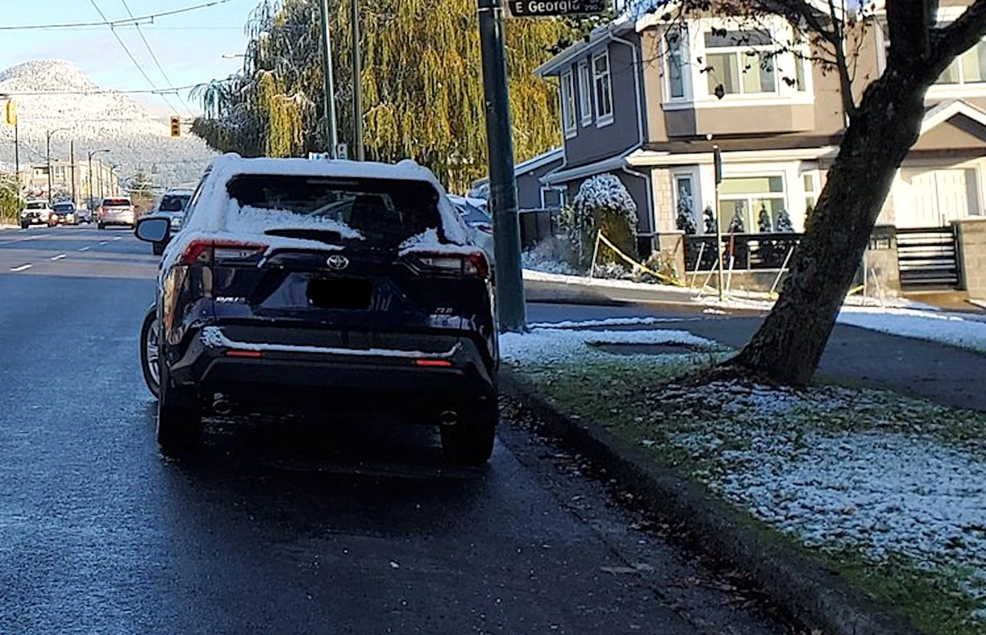
Thumbnail courtesy of Brad Atchison/X @Brad604.