Cold winds switch rain to Sunday snow in southern Ontario
Watch out for slippery roads across southern Ontario as temperatures fall to end the weekend
The first of two systems is on its way out after bringing a raw and rainy Saturday to much of southern Ontario. Things will change on Sunday as our second disturbance inches into the region with a wind shift that’ll increase the risk for snow.
Watch out for slick roads as snow squalls target the traditional snowbelt communities downwind of Lake Huron and Georgian Bay. We’re also looking at the potential for a dusting of snow in eastern Ontario as temperatures fall overnight.
DON'T MISS: Everything you need to know for April's spectacular and rare solar eclipse
Sunday: Cold air forces a switch to snow for some
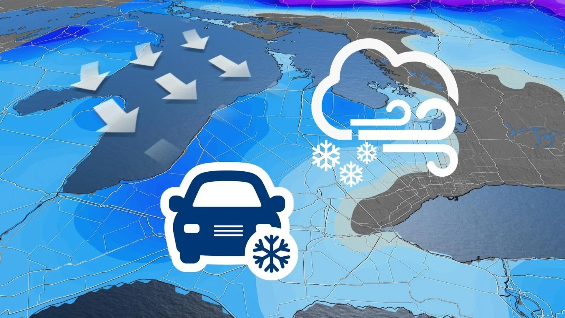
Northwesterly winds pushing across the Great Lakes on Sunday will send temperatures falling to end the weekend, allowing the precipitation threat to switch from rain to snow.
Temperatures will be cold enough that we’ll see a few snow squalls develop downwind of Lake Huron and Georgian Bay through the early morning hours on Sunday.

HEADING TO FLORIDA?: Get your March Break travel outlook!
Sunday’s squalls could bring 5-10+ cm of accumulating snow to the traditional snowbelt communities, and locally 5-10 cm for areas east of Kingston.
While confidence has increased for a changeover to snowfall across eastern Ontario, there is lower confidence on the exact amounts. Areas east of Kingston along the 401 corridor to Brockville and Cornwall could see overachieving snowfall into Sunday.

Prepare to adjust travel plans if you have to drive through an area expecting snow on Sunday. Slick roads and lower visibility will make driving a challenge beneath the heavier snow squalls.
By Monday morning, the lake-effect machine will switch off and the snow will depart.

Early next week will see conditions on the cooler side of seasonal, then trending warmer with well above-seasonal temperatures for a few days ahead of another system late next week or next weekend.
A much colder pattern is expected to develop around the official first day of spring, continuing through the end of March and into early April.
Stay with The Weather Network for all the latest on your forecast across Ontario.