Wet Wednesday with thunderstorm risk in southern Ontario

A rainy Wednesday morning commute is expected in southern Ontario, with a chance of thunderstorms in the afternoon
Southern Ontario drivers can expect a slippery, possibly slower Wednesday morning commute as rainfall will move in.
Drivers should anticipate some slowdowns as a result, with a thunderstorm risk popping up in the afternoon. Storms should remain below severe warning criteria, but heavier amounts of rain may impact commutes again in the afternoon.
DON’T MISS: Latest El Niño forecast calls for historic heat by this autumn
Rainy commute on Wednesday with thunderstorm risk
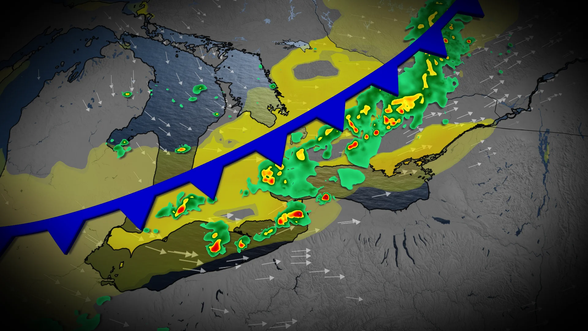
A slow-moving cold front will continue its provincewide trek across Ontario through Wednesday.
As a result, showers are expected Tuesday overnight from cottage country and the Lake Huron shores to London, the Greater Toronto and Hamilton Area (GTHA) and Ottawa valley by Wednesday morning.
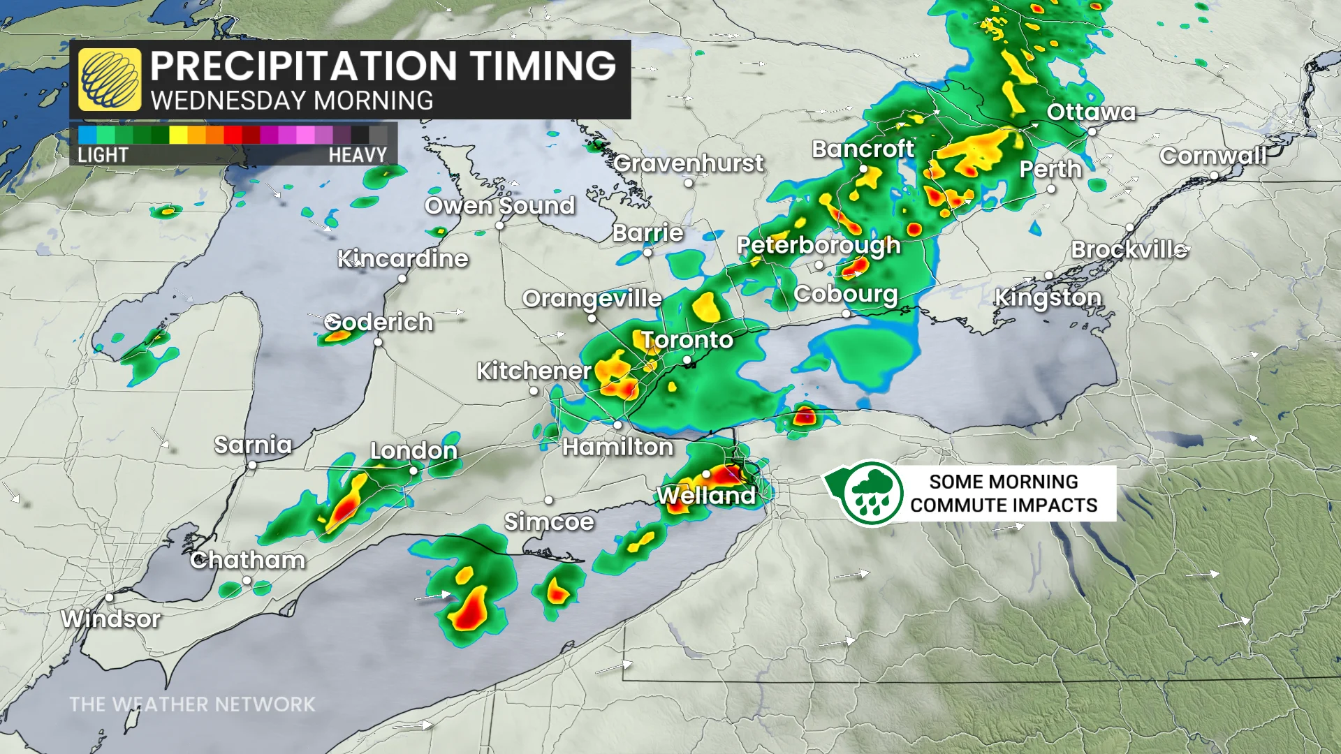
Some slowdowns may be possible under heavier rates of precipitation, which could reduce visibility.
By the afternoon, thunderstorm energy will increase in south-southwestern Ontario
Isolated cells popping up in Michigan may track towards Windsor, Chatham and Sarnia by the late afternoon and evening period.
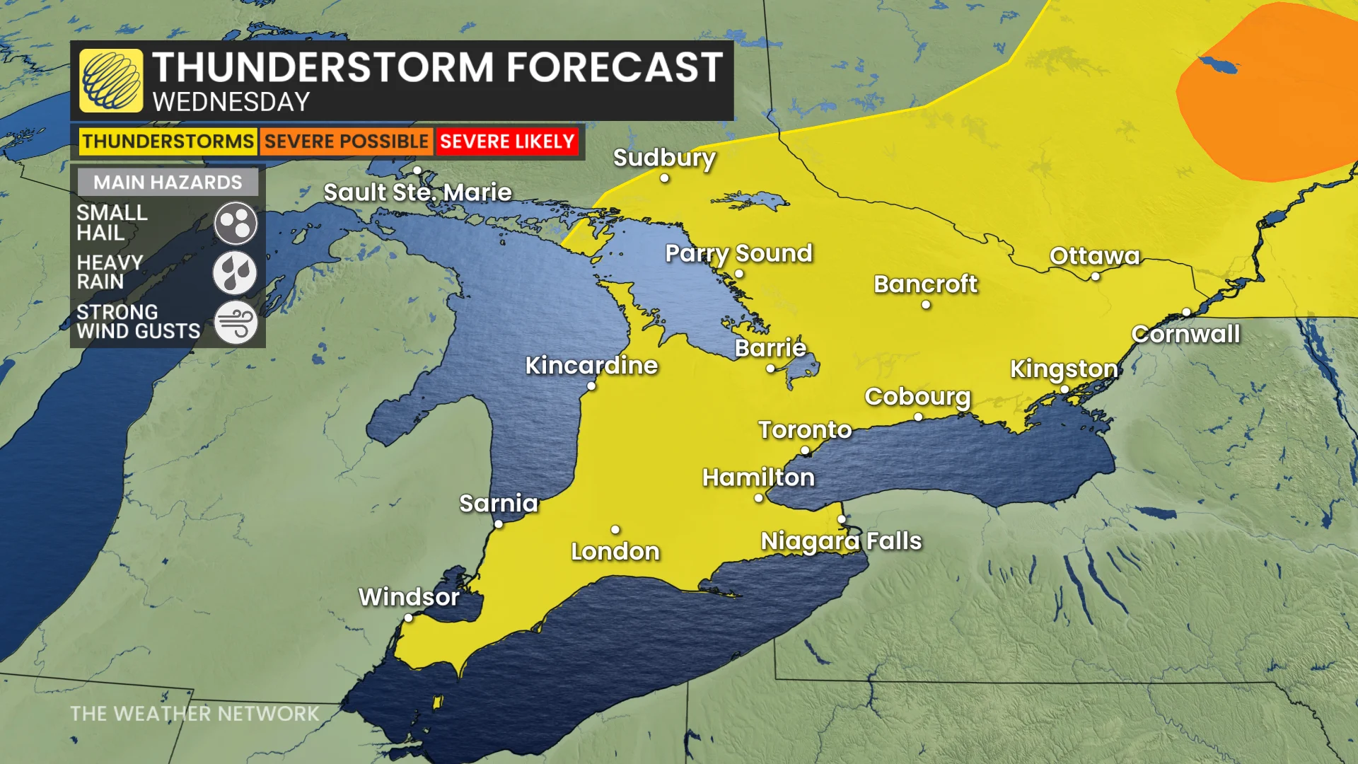
The storms may bring isolated, heavy downpours, strong winds and even hail.
An isolated thunderstorm is possible near the GTHA with weak, trailing instability, but the confidence is currently low.

Beyond Wednesday, high pressure will clear out the storms for a drier and sunnier end of the work week.
However, tainfall and thunderstorms are expected to return by Saturday, so prepare backup plans in case you were thinking of participating in outdoor activities.
Stay with The Weather Network for all the latest on conditions across Ontario.