Postpone travel in Newfoundland amid treacherous blizzard conditions

The Maritimes will have time to dig out Saturday after a weather bomb delivered a snowy and windy blast this week, with the remaining impactful effects pushing through Newfoundland.
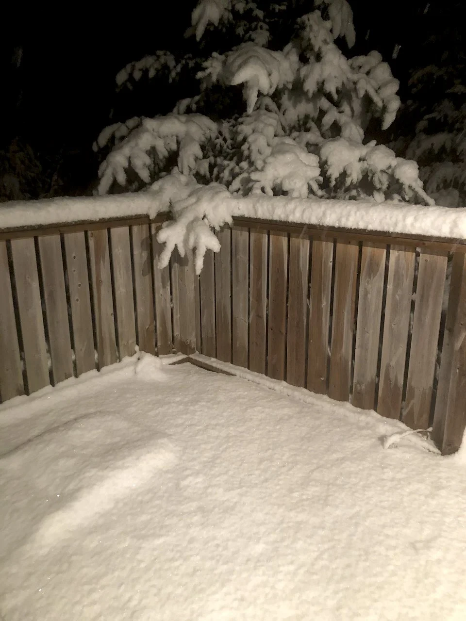
As conditions gradually improve across the Maritimes from west to east Saturday, blizzard conditions, whiteouts and locally heavy snowfall continues for parts of Newfoundland -- courtesy of a powerful system known as a weather bomb. Snowfall has already fallen on the island, with some areas still could see anothe 10-15 cm locally by the time the system departs. Motorists should postpone any non-essential travel as roads will be treacherous. Beyond, a blast of Arctic air is on the doorsteps for early next week. What's left of the storm and a look at how cold temperatures will get in the near future, below.
SATURDAY: WEATHER BOMB DELIVERS SNOW, WINDS TO NEWFOUNDLAND
Saturday will be Newfoundland's turn for the windy and snowy blast from the potent weather bomb, though some lingering effects are anticipated for eastern Nova Scotia.
SEE ALSO: PHOTOS: Major blizzard slams Atlantic Canada, thousands without power
Heavy snow will continue Saturday in Newfoundland, with locally 10-15 cm left to fall for areas near Gander and farther north. Lesser snowfall amounts are anticipated for the Burin and Avalon peninsulas, but the main concern will be blowing snow with gusty winds in these regions.

Blizzard, winter storm and wind warnings still in effect for sections of Newfoundland, as visibility continues to drop with winds gusting between 90-130 km/h. The greatest winds will be along the coastal sections. Eastern Nova Scotia is also under wind and winter storm warnings, but will be dropped as conditions improve through the day Saturday.
Non-essential travel is not recommended at this time, and alternate arrangements should be made where possible.
"Rapidly accumulating snow could make travel difficult over some locations. Visibility will be suddenly reduced to near zero at times in heavy snow and blowing snow," warns Environment and Climate Change Canada.

The blizzard conditions are expected to gradually ease by the overnight period Saturday as the system moves well offshore.
Temperature-wise, daytime highs will be chilly in the Maritimes Saturday, though milder conditions for Sunday across the region. However, a blast of Arctic air makes its way into the Atlantic provinces for early next week.
BOMB CYCLONE BRINGS HEAVY SNOW, WIDESPREAD POWER OUTAGES AND EVEN THUNDERSNOW TO NOVA SCOTIA
BEYOND: THE COLDEST AIR OF THE SEASON MOVES IN
Northwesterly winds behind the snowstorm will allow frigid air to flood across the Maritimes to end the weekend. Temperatures on Saturday will plummet to the double-digits below zero, with overnight lows near -20°C possible in northern New Brunswick.
A major pattern flip across Canada will allow the frigid air to finally relent across Western Canada and begin shuffling toward the eastern half of the country. A strong cold front will sweep across the region on Monday, bringing rain that will change back to snow, followed by a blast of Arctic air with the coldest air of the season.

Daytime highs could struggle to climb out of the minus-double-digits with dangerously cold wind chill values in many spots for several days next week. Active weather could accompany the colder air, leading to opportunities for additional snow across the region.
A system tracking along the cold front is expected to bring snow to the Avalon including St. John’s with 5-10 cm Monday night. Daytime temperatures will stay in the -20s for most of New Brunswick and P.E.I. Tuesday and Wednesday with dangerous wind chills. Temperatures recover late week and then turning colder again next weekend.
Thumbnail courtesy of Brad Grouchy/Twitter.
Stay tuned to The Weather Network for the latest on the nor’easter.