Warmer weather brings risk of freezing rain to southern Ontario
Temperatures continue to climb across southern Ontario, but so do the threats for impactful rain and freezing rain.
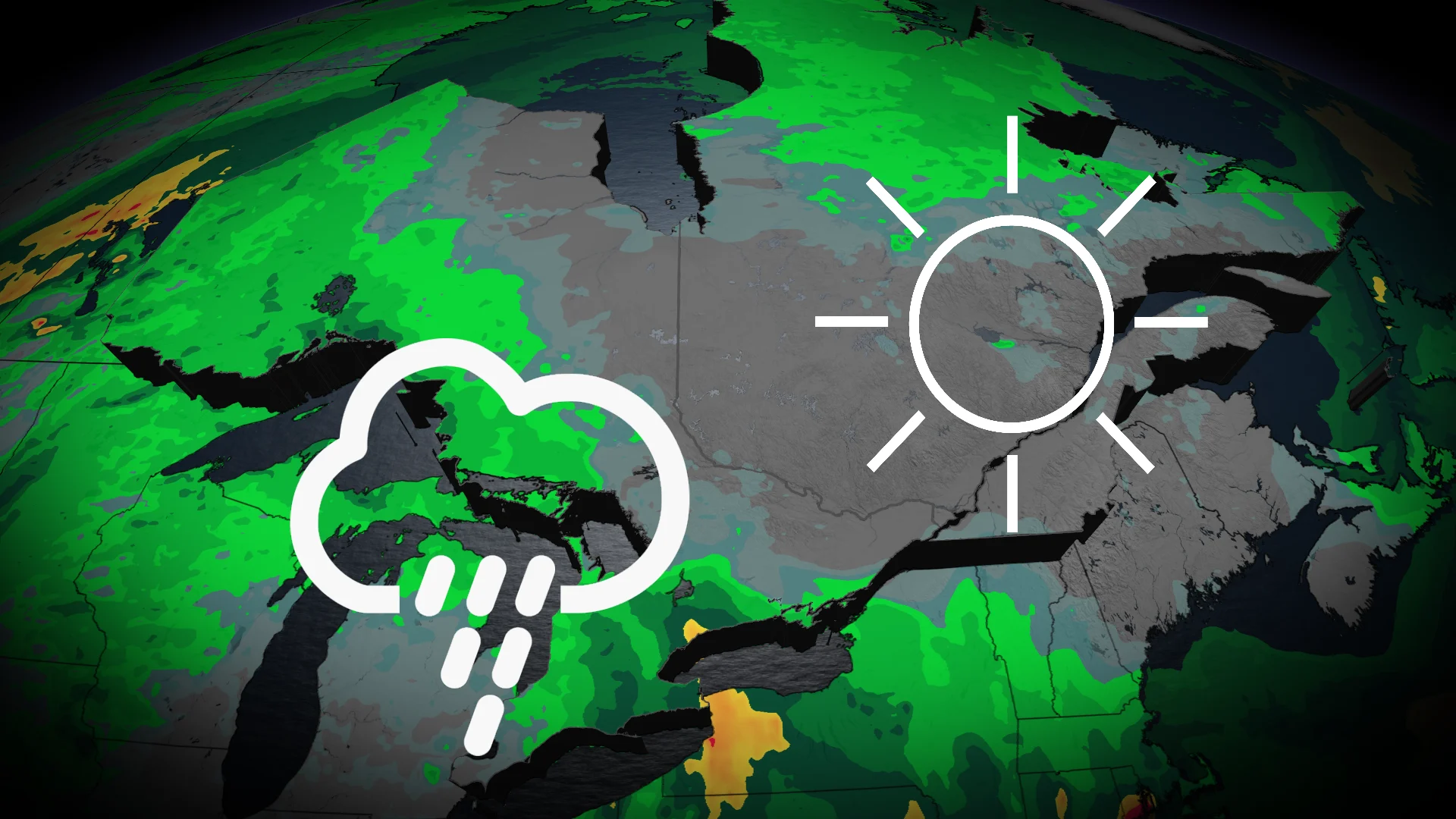
Soak in the sunshine while you can on Wednesday, southern Ontario. As temperatures get warmer and we move away from the snowy winter weather, we'll see a threat of freezing rain across the region on Thursday, as well as incoming rain late Friday and into Saturday.
Luckily, folks will get a taste of the season ahead over the weekend as temperatures continue to climb into the teens on Saturday. Parts of the province could even see the thermometer reach the 20-degree mark by the end of the weekend!
SEE ALSO: Alberta considers scrapping time change, but not Ontario
Freezing rain risk builds Thursday evening
Cloudy skies and rain showers will begin to spread across southern Ontario early Thursday, becoming more widespread across the southwest and toward the Greater Toronto Area (GTA) through the afternoon and evening hours.
Uncertainty begins to make its way into the forecast late Thursday afternoon as a region of high pressure from the north nudges south slightly, ushering in cooler surface temperatures by the evening. Paired with the rain, we'll see an increased threat of freezing rain Thursday evening and through the overnight.

There's even more uncertainty about where exactly the freezing rain will fall. We could see changes in the freezing rain forecast for communities in and around Prince Edward County and those on the eastern shores of Lake Ontario, such as Hamilton and the GTA. Keep checking back as forecasters work to refine the freezing rain forecast.
Communities north of Lake Ontario, such as Kingston, are more likely to see heavier freezing rain.
The freezing rain may also linger into Friday morning, along with some overnight fog, making for slippery commutes and delays as folks head into work.
Colorado low approaches Friday
A Colorado low is forecast to make its way toward the province from the southwest on Friday, pushing in another round of mild air as well as more widespread rain.
The rain will extend north of the GTA on Friday, skirting the Lake Ontario's north shore. The heaviest rain, however, is expected to be along Lake Erie's shores, with up to 30 mm possible.

Parts of southwestern Ontario, including Windsor, could even hear a few rumbles of thunder!
DON'T MISS: Two oceans fuel Ontario's thaw, and there's 200 mm of water locked in snow
Temperatures will climb throughout the day and continue into Saturday, along with lingering showers. We could even see temperatures reach 20 degrees in Windsor!

We'll see the mild and pleasant weather stick around on Sunday and into Tuesday across central and southern Ontario, but we could see some messy weather move back in for the mid- to late week.
Stay with The Weather Network for more information and updates on your weather across Ontario.