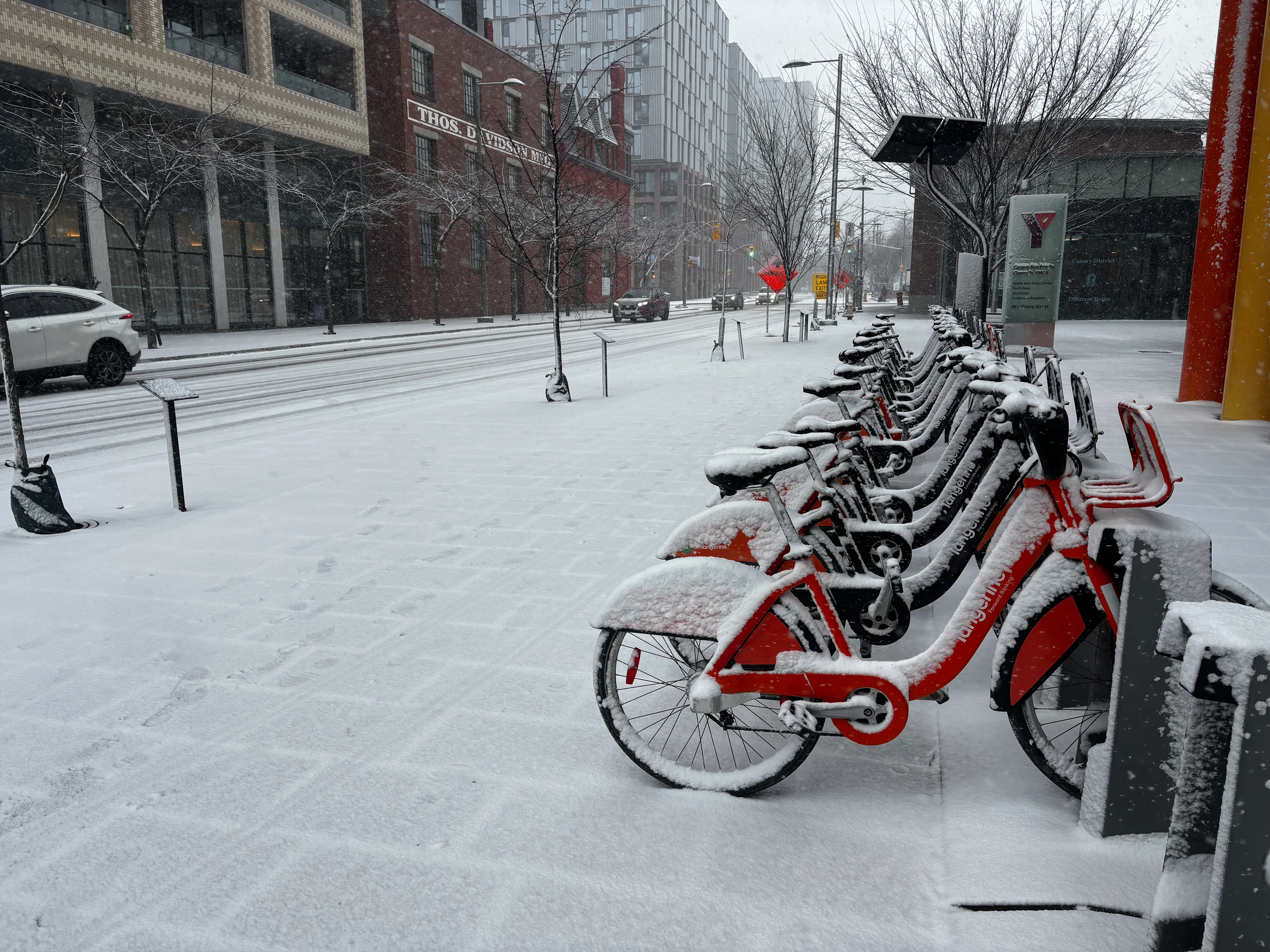
More snow flurries in Ontario before spring officially starts Friday
The start of spring is nearly here! There will be a chance for rain, flurries and even freezing rain in southern Ontario as a quick warm-up (for some) arrives just in time for the spring equinox on Friday
Multiple, fast-moving storms will impact Ontario for the remainder of the week. These systems follow a shift in the national weather pattern, putting the region in the path of an active storm track leading into the weekend.
DON'T MISS: Did the groundhogs get it right? Grading this year’s furry forecasters
Stay updated for further details as these systems develop, including potential impacts to travel and outdoor plans. Be sure to keep an eye on the road conditions before heading out, as well.
Active storm track brings multiple clippers to Ontario this week
Mild Pacific air, driven by an ongoing atmospheric river in B.C. and a high-pressure system in the western U.S., is influencing Ontario's approaching weather pattern.

On Thursday, a weak system will spread some periods of flurries across central, and parts of southern and eastern, Ontario.
Minor amounts of 2-5 cm are expected for central Ontario, while southern Ontario and the Greater Toronto Area (GTA) can expect a trace to a few centimetres at most.
A second clipper will arrive from the Prairies on Friday, potentially bringing 5-10 cm of snow in a narrow band.

The system's track remains somewhat uncertain, with the possibility of snowfall shifting farther south into southern Ontario.
Rain showers and periods of icy precipitation are expected to move through early Friday morning and persist throughout the day.

Breezy winds will be out of the south, with gusts of 30-60 km/h.
Temperatures across southwestern Ontario will climb towards the end of the week. It will be perfectly timed with the first day of spring, with low- to mid-teens likely for some areas.
RELATED: Friday's Vernal Equinox ushers in astronomical spring for 2026
Another system and boundary of moisture will spread across Ontario for the weekend, bringing a swath of snow, some ice and rain. South of the boundary will be mild while north of it will remain near or below the freezing mark.

DON'T MISS: A potentially strong El Niño will develop by this summer
Early next week is expected to be rather cold. Changeable temperatures, but overall, near normal or colder than normal, and an active pattern are expected for the final week of March and into early April.