Tropical rains, fall cooldown makes its way to B.C. to kick off September

Much needed relief for B.C.’s northern coast is coming from a typhoon across the Pacific
A typhoon set to make landfall in China will have impacts all the way in British Columbia.
Typhoon Saudel has already pounded Japan's southwestern islands, dumping 230 mm of rain in 24 hours and cancelling over 150 flights at Okinawa Naha Airport.
The storm made landfall in mainland China early Friday morning local time.
TROPICAL STORMS: The Weather Network’s Hurricane and Tropical Storm Hub
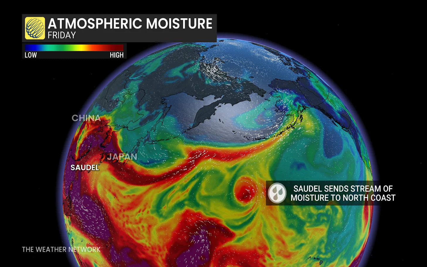
Saudel’s moisture heads east
Although Saudel will weaken over China, its moisture will spread eastward across the Pacific.
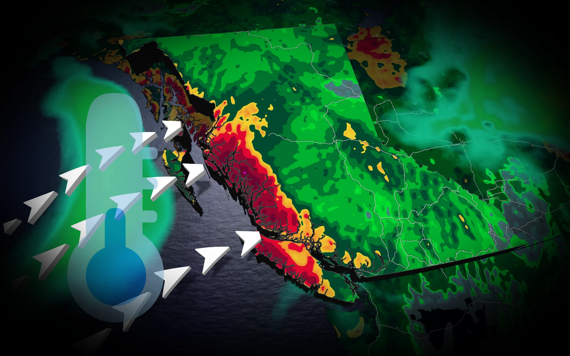
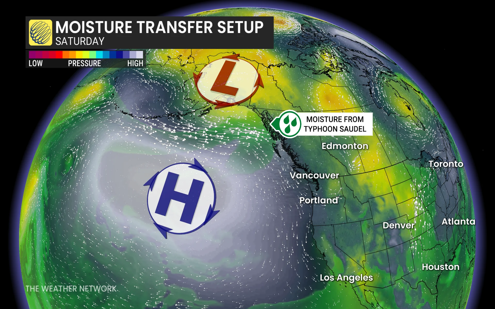
A low-pressure system over the Bering Sea will pull moisture into Alaska, while high pressure off the B.C. coast directs an atmospheric river toward the North Coast.
The North Coast mountains could receive 50 to 75 mm of rain through Saturday, providing welcome relief after a drier-than-normal previous 30 days.
READ MORE: Krakatoa’s eruption created the loudest sound in human history
Cooler weather ahead
A cold front will drop temperatures below 20 C across the southern Interior. Kamloops could reach 17 C,, potentially making it the city's coldest day since May 15.
Next week, freezing levels in the coastal mountains, particularly the Kitimat and Pacific ranges, may average around 2,000 meters, posing a risk of high-elevation snow.
Another low is expected to form over the Interior, bringing rain and embedded thunderstorms — ideal conditions for wildfire areas. The South Coast, meanwhile, is expected to remain dry.
Stay with The Weather Network for the latest updates on your weather across B.C.