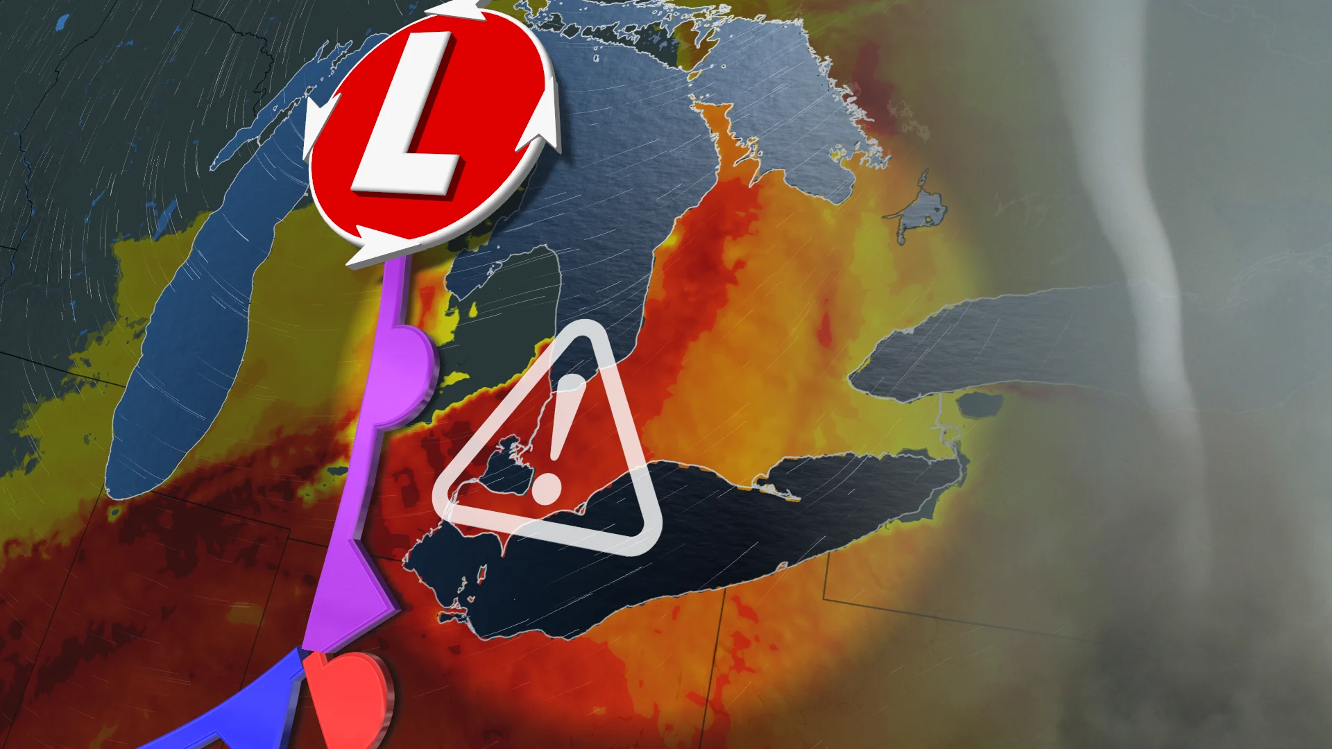
Tornado potential scrapes southern Ontario amid strong storm likelihood

A low-pressure system trekking in from the Prairies will bring a risk of strong thunderstorms, with damaging wind and tornado potential, to southern Ontario Thursday
As we churn through the heart of summer in southern Ontario, muggy heat and a system moving in from the West will fuel a renewed risk for severe thunderstorms on Thursday.
RELATED: When extreme weather hits, trauma is the invisible damage
There is the threat for all types of hazards with these storms on Thursday, including damaging winds and one or two tornadoes in parts of southern Ontario, so be sure to stay up-to-date on the weather alerts and have a safety plan at home or while on the road.
Thursday
Areas: Southern Ontario
Timing: Late-afternoon and evening

Weather: Strong thunderstorms will likely bring damaging winds and a tornado threat to southern Ontario Thursday. Late afternoon and evening, a line of strong storms will sweep across the Great Lakes. The line will impact Windsor, Sarnia and Lake Huron shorelines by the dinner hour and commute home.
These regions have the highest likelihood for the most severe threats. With ample thunderstorm energy and backing winds, rotation is possible along the line, and within any storms that develop ahead of it, one or two tornadoes cannot be ruled out.
The storms will race inland through the evening, impacting London, Guelph and sections of the Greater Toronto Area (GTA).

Timing of these storms will be very important for these locations. As of now, the Golden Horseshoe is on the cusp of severe activity, with damaging winds as a main hazard. But that could increase or decrease, depending on the storm’s timing. The earlier the storms occur, the more severe the threats will be.
Confidence: High for impactful thunderstorms. Moderate on tornado potential
Thursday night to Friday
Areas: Eastern Ontario and southern Quebec
Timing: Thursday overnight

Weather: The complex of storms appear so strong that it will likely sustain thunderstorm activity through Thursday overnight. Expect periods of thunder and heavy rainfall as the low heads east into Ottawa, Ont., and southern Quebec.
Prepare
Keep The Weather Network’s app handy on your phone to peek at the radar and keep up with watches and warnings as the day progresses.
Stay close to a safe shelter in case storms threaten your location. And remember, the greatest danger in any thunderstorm is lightning. If you can hear thunder, you’re close enough to be struck by lightning.
Stay tuned to The Weather Network for the latest updates on conditions across Ontario.