Canada's first Colorado low of the season threatens hefty snow

If you’re a snow lover, this first Colorado low of the season is better late than never.
A pattern reversal across North America will allow the season’s first Colorado low to develop and bring heavy snow and gusty winds to parts of the Prairies through early next week.
Colorado lows, those systems that form over the Rockies near Colorado and sweep northeast into Canada, are a mainstay of weather forecasts this time of year. These energetic systems often pester Canadians with foul weather as they move through.
MUST SEE: Heads up! Taurid Meteor Swarm expected to light up the night starting next week

We’re just now seeing our first Colorado low of the season because the patterns so far this fall have been unfavourable for their development.
The large ridge keeping Western Canada warm to unprecedented levels in recent weeks is the same feature that’s prevented any low-pressure systems from spinning up in the Rockies and heading toward the Prairies.

Now that we’ve seen a flip in the pattern and a return to active weather across the west, we’ll see more opportunities for Colorado lows to form and move through the region.
This weekend’s storm will start to push into the southern Prairies on Satuday evening, spreading through Saskatchewan, Manitoba, and northern Ontario towards the end of the weekend.
We’re watching the potential for a widespread swath of snow across the eastern Prairies as the low tracks through the region. Anywhere from 5-20 cm of snow is possible, with the heaviest anticipated for northern Manitoba.

Right now, there’s low confidence in the exact placement of the swath of snow -- small changes in the track of the storm will have big implications on where we’ll see those heavier snowfall totals. Snowfall totals in parts of the region remain uncertain due to melting and compaction of wet snow.
RELATED: How Colorado lows and Texas lows affect your weather in Canada
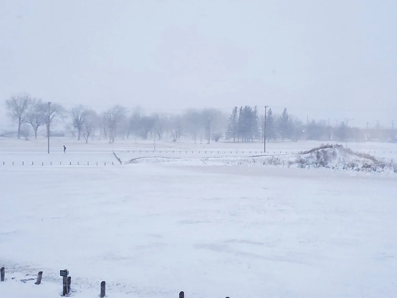
Special weather statements and a snowfall warning are already in effect across parts of Saskatchewan and Manitoba ahead of this season’s first snowfall.
Impacts from this system include reduced visibilities when travelling on highways due to heavy falling snow, and damage to ground utility infrastructure as a result of heavy, wet snow accumulating on trees with foliage in combination with gusty winds.
Check back frequently as forecasters refine the track of the storm and the placement of that swath of heavy snow becomes clearer.
Thumbnail courtesy of Devyn Gregoire/Twitter (@GreggyDevynCJWW).