The East Coast prepares for its next dose of snow, winter weather travel
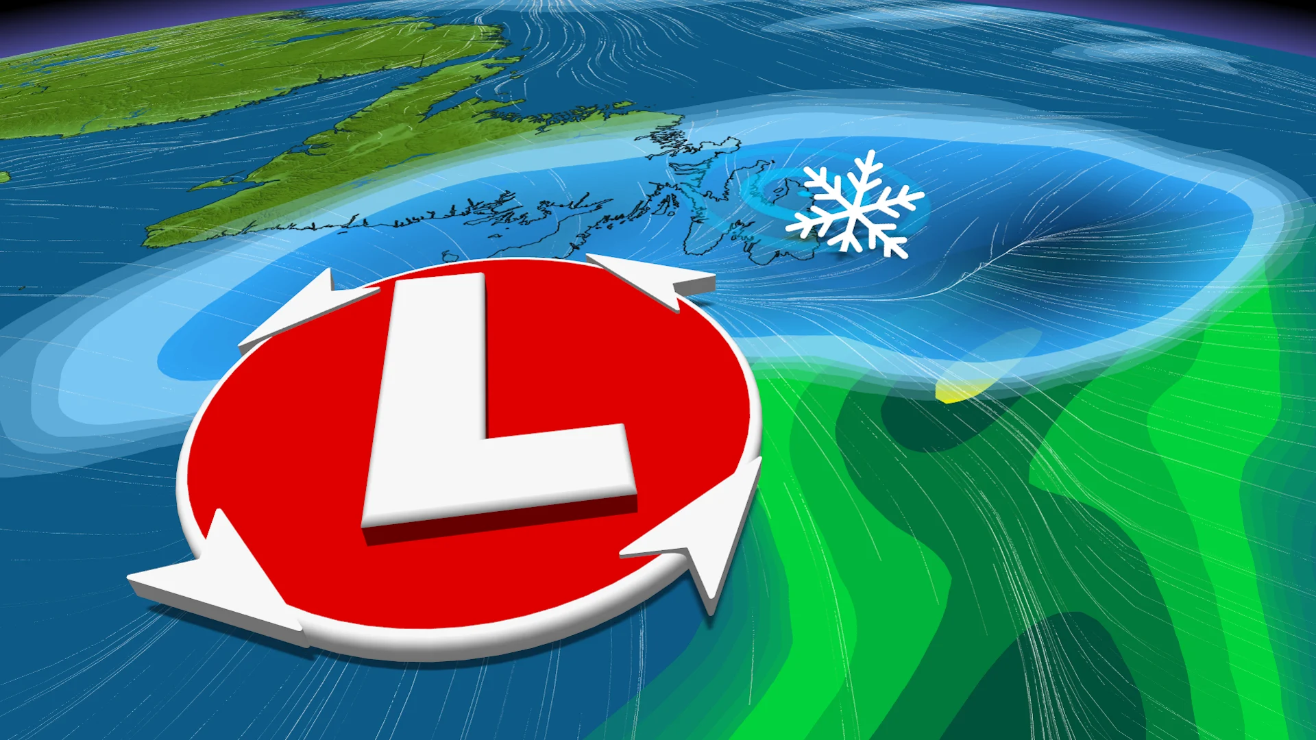
St. John's, N.L., is looking at its largest, daily snowfall total so far this winter as multiple systems track into Atlantic Canada this week with wintry weather
With Ontario and Quebec dealing with its latest round of snowy, windy weather, it's only a matter of time before that dose hits Atlantic Canada.
DON'T MISS: January’s jet stream drama leads to February pattern swap in Canada
The same system that is trekking through Central Canada will also hit the Maritimes and Newfoundland with a shot of snow, rain and blustery wind gusts on Tuesday and Wednesday, followed by another into late week.
St. John's, N.L, which has failed to record more than 7 cm of daily snowfall this winter so far, is in line for a bit of a rude awakening with this storm. Current projections have the Newfoundland city, usually Canada's snowiest, to see upwards of 15-20 cm of snow.
This week:
The system that brought a sharp cold front to Ontario and Quebec will track through Atlantic Canada starting Tuesday.

Scattered snow will pass through the day in the Maritimes and western Newfoundland. Tuesday morning will remain dry for eastern Newfoundland, but then rain will move into early afternoon.
As the cold front moves into eastern Newfoundland, the rain will quickly transition to snow before the system moves out Wednesday overnight.
Wind gusts will be in the 50-70 km/h range, so expect difficult travel from the poor visibility resulting from blowing snow.

The region will get another gift from Ontario. A secondary low-pressure system will track from Ontario and the northeastern U.S. into Atlantic Canada, pushing farther south, which can bring more snow than what is expected Tuesday.
The snow will track into the Maritimes Wednesday evening, and then reach Newfoundland Wednesday overnight through Thursday afternoon.

That could potentially be St. John’s largest snowfall of the season so far. Its largest, one-day total this season was 6.2 cm.
Beyond, a Texas low could impact the region Friday night and into Saturday, but low confidence in the storm track. An active pattern is expected during the first couple weeks of February with messy winter storms.
Stay tuned to The Weather Network for the latest forecast updates for Atlantic Canada.