The Atlantic may see its slowest hurricane season start in 12 years

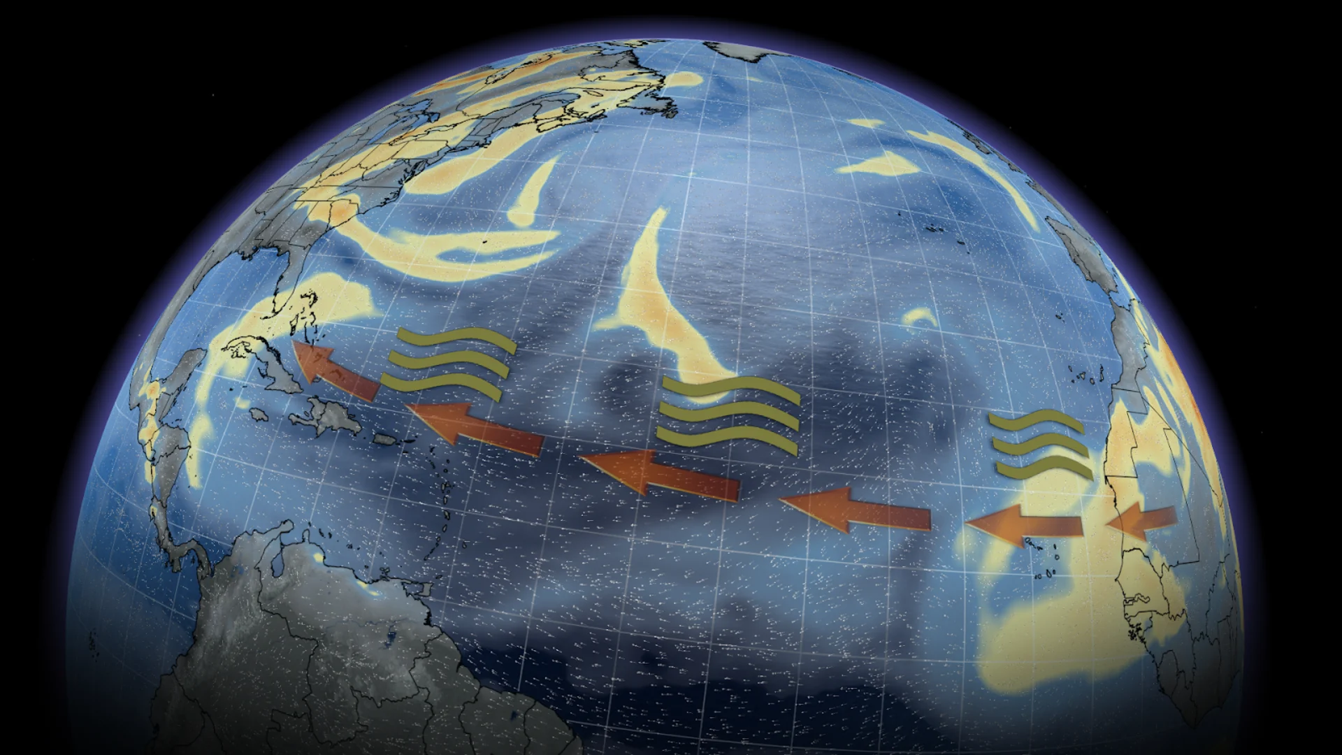
A large plume of Saharan dust is headed to the Caribbean and Florida this week as the Atlantic could see its slowest start to the hurricane season in 12 years
The 2026 Atlantic hurricane season is off to a sluggish start, perhaps the slowest in 12 years.
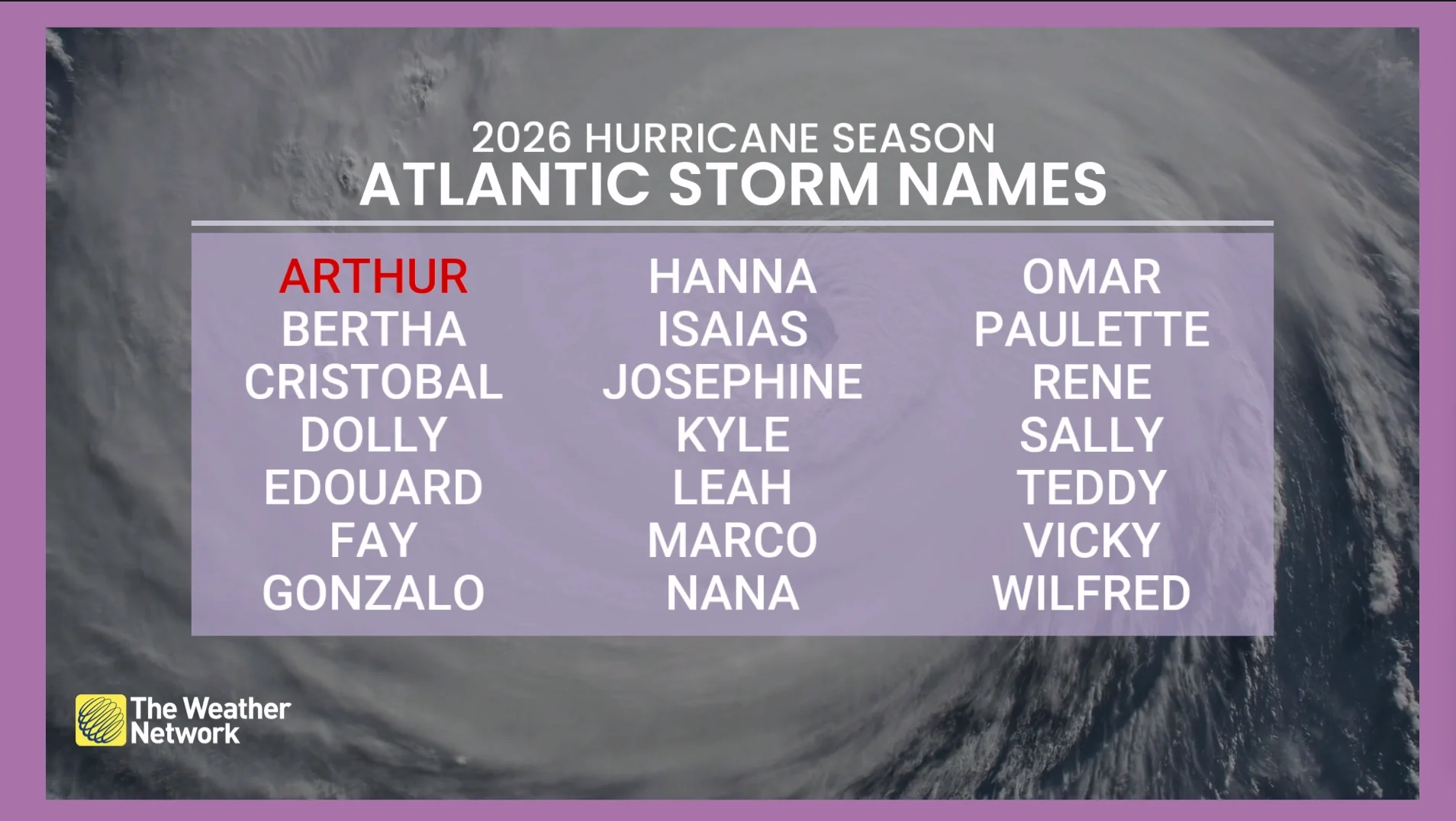
With only one named storm so far since it began on June 1, Arthur, the season is looking awfully quiet with nothing on the immediate horizon...except for Sahara dust coming across to the Caribbean and Florida.
On Tuesday, the dust made its way over to the Caribbean to bring poor air quality. It will gradually move into the rest of the Caribbean and Gulf of Mexico through the weekend.
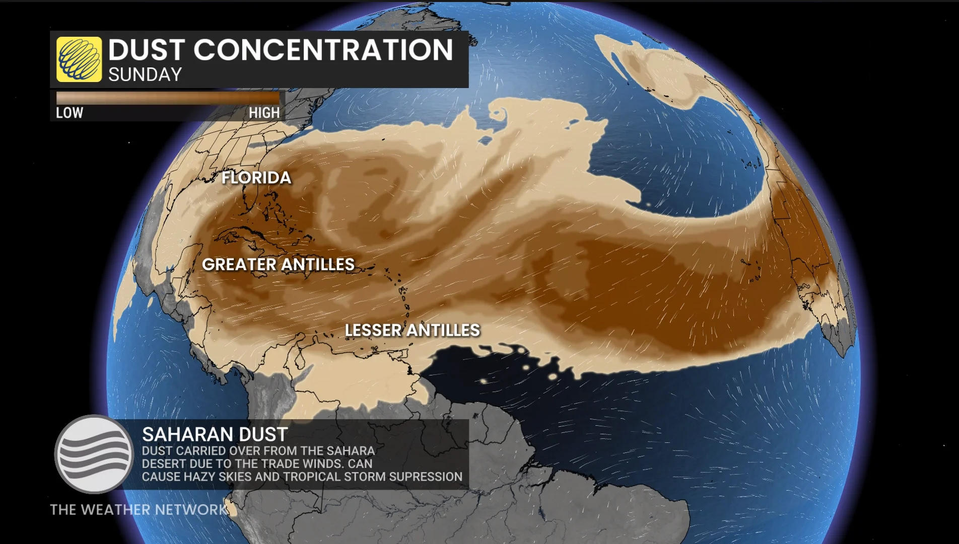
The dust is expected to remain aloft, not mixing down to the surface, but it will still lead to vibrant sunrises and sunsets.
Multiple rounds of Saharan dust is expected for the next seven days across Florida and the Caribbean.
How does dust impact the Atlantic storms?
Heavy amounts of dust inhibits the formation of tropical systems, preventing already existing storms to strengthen as it acts like a cap.
Strong winds in the dust layer can increase vertical wind shear in and around storms, not allowing them to develop further.
The plume of Saharan dust, forecast for the Caribbean and Florida for the next seven days, can suppress tropical storm activity into the middle of July, when, on average, we see our second named storm.
High wind shear and dusty, dry air all aids in suppressing tropical storm development. Combining that with El Niño, which results in stronger trade winds and more atmospheric stability, it further reinforces fewer hurricanes.
A slow start to the hurricane season...or has it been?
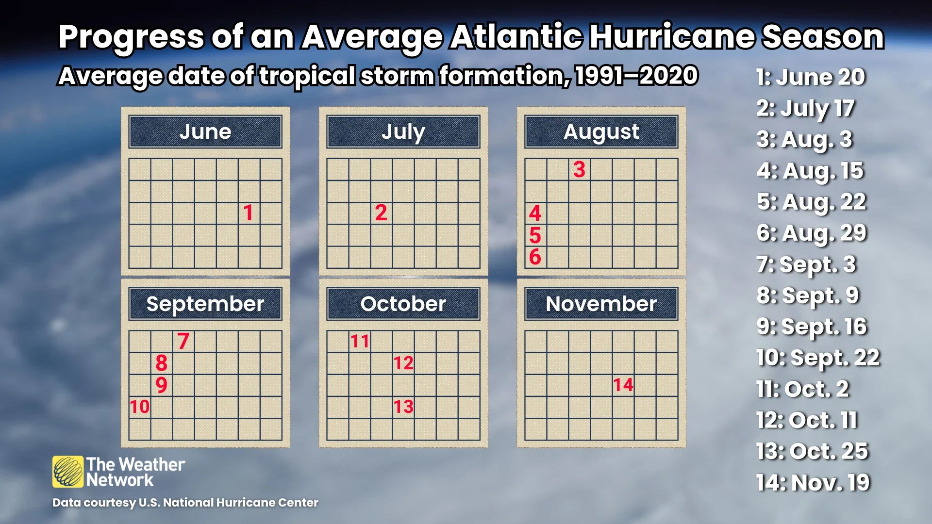
According to data collected by the U.S. National Hurricane Center (NHC), from 1991 to 2020, the basin’s first named storm typically developed on June 20. That was followed by the second named storm on July 17 and the third named storm usually arriving on Aug. 3.
This has become the slowest start to hurricane season since 2019, when the second named storm formed on July 11.
With no tropical storm activity in the next seven days, due to the dust content remaining high, this may become the slowest start to hurricane season since 2014.
Hurricane Bertha was officially named on Aug. 1, 2014, which makes it, so far, the slowest start to the hurricane season in the past 12 years.