Healthy swath of snow threatens difficult travel in parts of Ontario and Quebec

Don't get too comfortable with the milder temperatures and rain on Thursday, as more wintry weather will quickly arrive, with widespread snow making for tricky travel Friday.
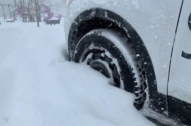
Thursday's relatively mild temperatures (for the season) will be a memory by Friday, with cold air sweeping through southern Ontario. It will have the effect of transitioning Thursday's showers into at-time significant snow for much of the region, while in the southwest, the cold winds over the unfrozen Great Lakes will generate as much as 15 cm of lake-effect snow for the usual snow belt areas. For a look at Friday's snow, and when to expect the next dose, see below.
FRIDAY INTO SATURDAY: SYSTEM THREATENS 20+ CM OF SNOW OVER PORTIONS OF ONTARIO AND QUEBEC
Parts of southern Ontario saw a few highly localized showers Thursday, mostly areas along or near the shores of Lake Huron, Georgian Bay, and eastern parts of Lake Erie and Lake Ontario – though most all of the region saw at least a few drops here and there.
However, for areas further north, the system manifested as at-times heavy snow. A winter weather travel advisory was still in effect for parts of northern Ontario Thursday, warning of icy road conditions as the temperatures begin to dip.
Those cold temperatures mean people across much of southern Ontario and Quebec will see the rain transition to snow by Friday morning, along with gusty winds. Those winds will fire up the lake-effect snow machine, which will bring significant amounts through the day, only really tapering off Saturday.

Between the lake-effect and system snow, between 10-20+ cm of snow is expected for the hardest-hit places through Saturday, with areas like Ottawa and Montreal picking up their first measurable snowfall of the season, with around 5-10 cm expected.
Wet roadways and sidewalks will be extra slick early Saturday and though conditions will improve throughout the day, much colder air will have settled in.
SUNDAY: EYEING A WEAK CLIPPER AND FIRST WIDESPREAD SNOW
A relatively weak clipper will track across the Great Lakes and southern Ontario during Sunday, with forecasters watching the potential for widespread light snow, which could bring 2-5 cm. Higher totals are currently forecast southwest of the GTA, with 5-8 cm possible for places like London and Chatham. The exact storm track is still uncertain however, and that will highly impact who sees the heaviest snow.
Near or slightly below seasonal temperatures will persist through early and mid next week, with the potential for a couple more clippers to track across the region. It is still too early to have confidence in the track and impacts of those systems.
Be sure to check back for the latest weather updates across Ontario and Quebec.


