Strong thunderstorm threat targets Saskatchewan for Thursday

The dynamics are there for strong thunderstorm development across central and southern Saskatchewan Thursday. Stay alert!
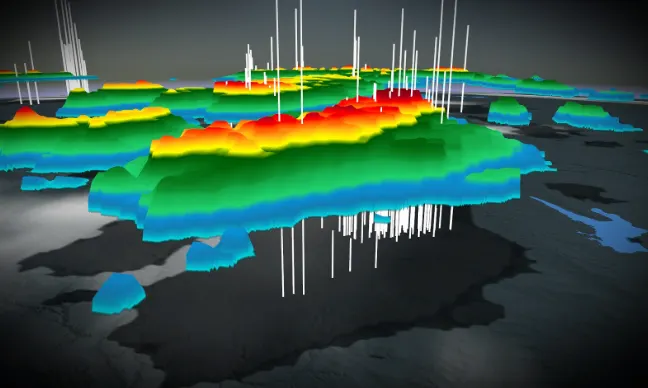
An unsettled pattern remains locked in across the Prairies, with the threat for strong thunderstorms zooming in over Saskatchewan for Thursday. The storms are forecast to bubble up across central and southern sections as a trough and weak surface low track into the province. Strong winds and large hail will be the primary threats with these storms, with the risk for heavy downpours in some areas as well. One bonus however, will be that some of the country's warmest weather will be centred across Saskatchewan for the next several days. More on timing and impacts, below.
Visit our Complete Guide to Summer 2022 for an in-depth look at the Summer Forecast, tips to plan for it and much more!
THURSDAY: STRONG THUNDERSTORM THREAT HOVERS OVER SASKATCHEWAN
Thunderstorms are forecast to bubble up across central and southern Saskatchewan Thursday as a trough and weak surface low track into the province.
Stronger atmospheric dynamics, which will support stronger storm development, will be present in parts of the region through the late afternoon and early evening hours. The area includes some of the major cities such as Saskatoon and Regina.
Large hail and strong wind gusts will be the primary threats with the stronger storms that do develop.

"Strong rising motion present in the atmosphere means thunderstorms will have the capability to suspend hailstones for a longer period of time and hence, create larger hail," says Kelly Sonnenburg, a meteorologist at The Weather Network.
In addition to the hail and strong winds, heavy downpours will be possible in some storms as well.

Be sure to stay alert to the weather warnings in your area throughout the day.
CANADA'S WARMEST WEATHER WILL BE FOUND IN SASKATCHEWAN
Despite the storm threat, the focus of Canada's warmest temperatures will be across Saskatchewan and the Prairies for the next few days. Daytime highs will sit in the mid to upper 20s.

MUST SEE: Blame the jet stream: Where in the world is the summer heat?
Cooler weather however, will spread back into the region next week, especially across western sections of the Prairies.
Forecasters are also closely watching the potential for a major storm for the Prairies next week, one with the potential to have a large impact on the growing season for much of Alberta and Saskatchewan. This slow-moving low pressure system could bring widespread soaking rains and thunderstorms, with very strong winds possible as well.
2022 SUMMER FORECAST: U.S. DROUGHT WILL HAVE AN IMPACT ACROSS THE PRAIRIES
Be sure to check back for the latest updates on the conditions across the Prairies.