Stay alert: Another impactful storm eyeing Ontario early next week

Ontario will only get a few days to breathe before the next impactful winter storm arrives.
Get ready for another round of impactful winter weather to spread over Ontario in time for the new workweek.
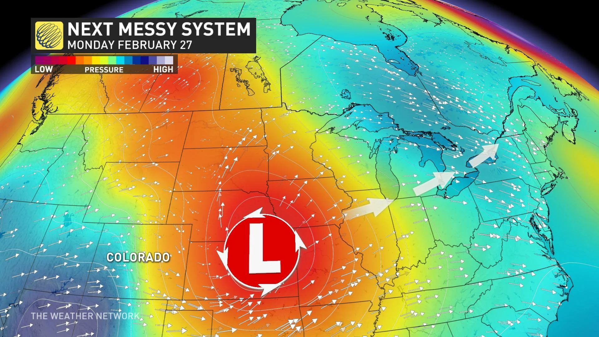
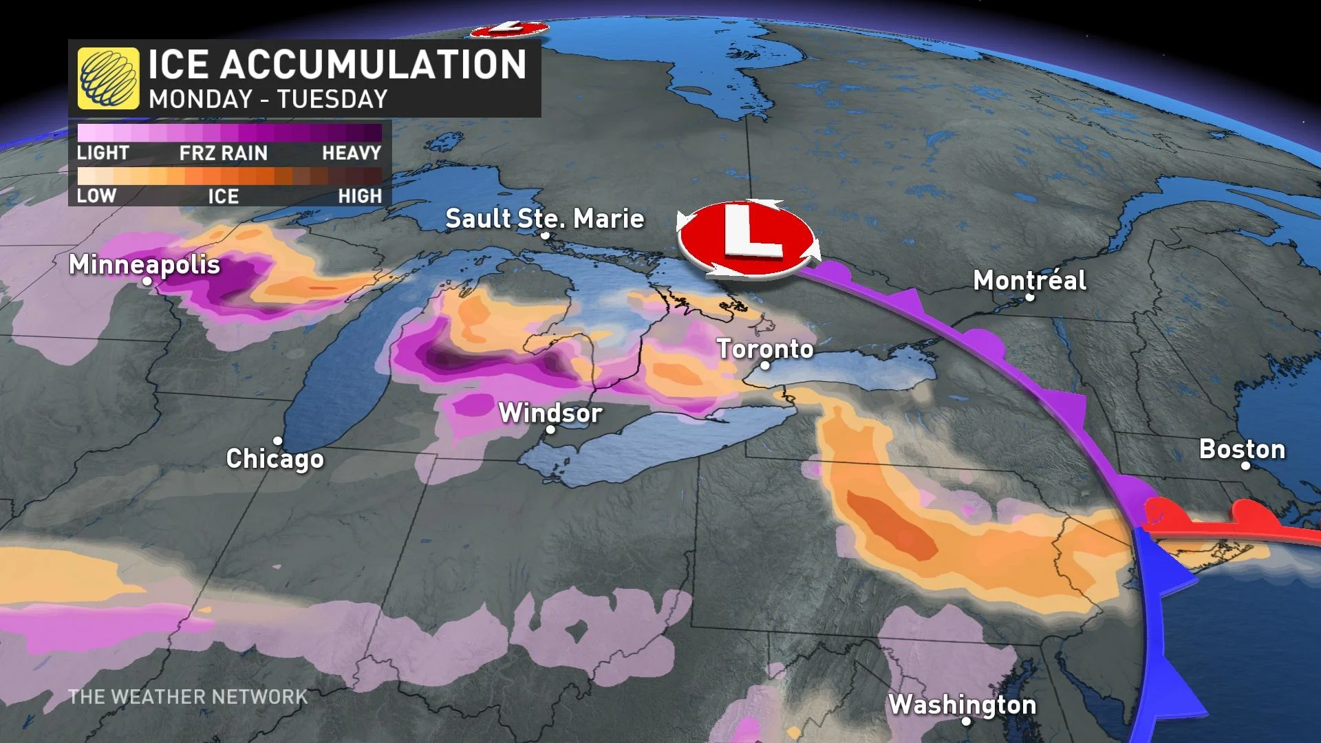
The forecast in the coming days may sound eerily familiar for parts of southern Ontario. A new Colorado low developing this weekend will take aim at the Great Lakes by early next week, bringing a widespread swath of snow, freezing rain, ice pellets, and heavy rainfall to the region.
DON’T MISS: Ice falls in Hollywood as wild setup fans Calif. blizzards, historic heat
While it’s still too soon for specifics regarding accumulations and exact transition points between rain, snow, and ice, the likelihood is growing that this approaching storm will have significant impacts across the province.
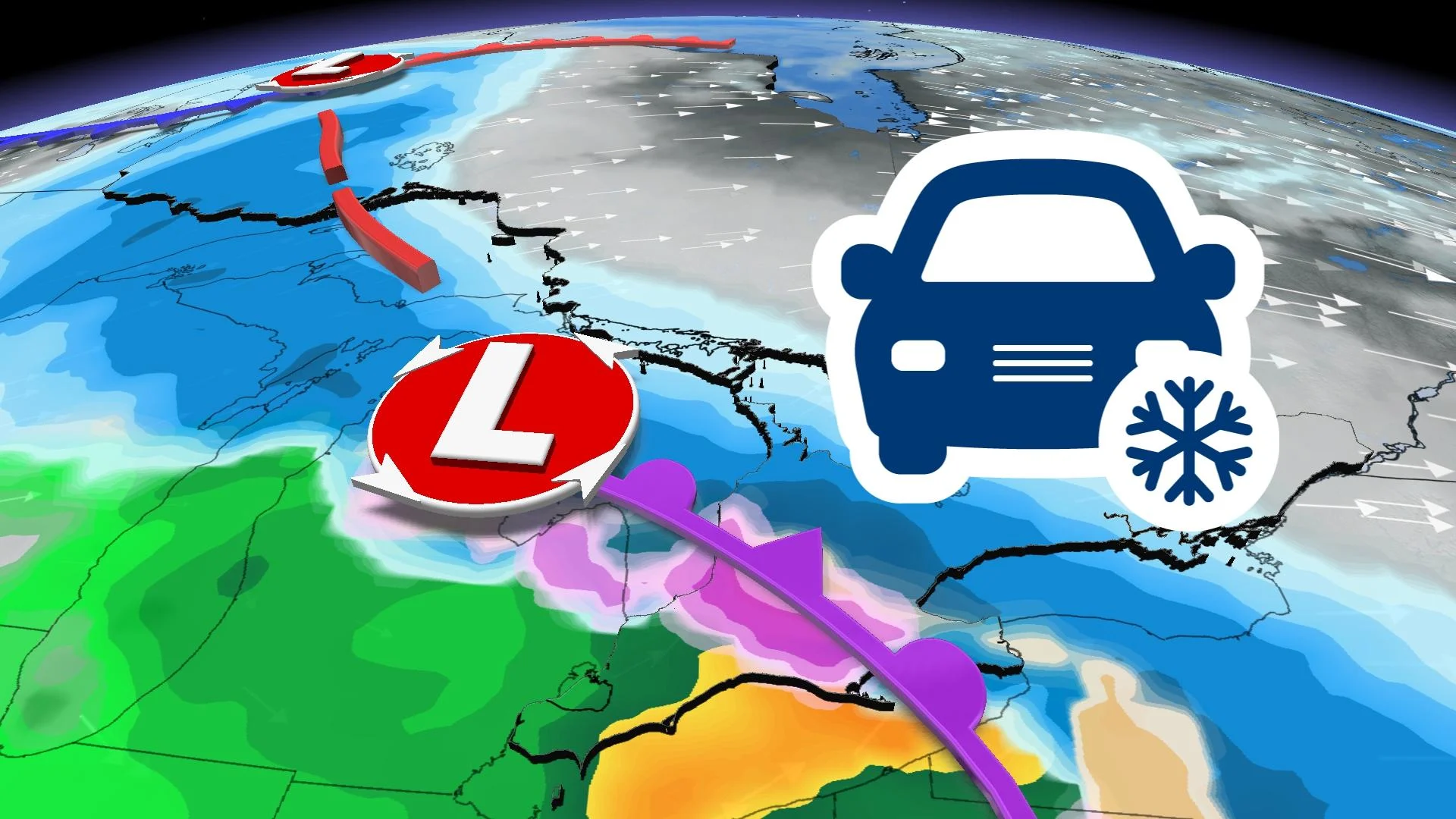
This is unwelcome news for folks still cleaning up from the storm earlier this week. Major ice accretion and a heavy blanket of snow and ice pellets made for tough travel and even tougher cleanup.
Take advantage of the quieter weather this weekend to prepare for the next storm’s arrival on Monday.

Our next storm is a Colorado low developing from the same trough that brought a rare spell of wintry weather to California this week, prompting blizzard warnings near Los Angeles and San Diego for the first time in a generation or longer.
This low will push into the Great Lakes by Monday, with precipitation spilling over southern Ontario through the day. It’s one of those setups where the morning commute will likely be okay for everyone, but the evening commute could be an absolute mess for some.
WATCH: Ontario towns hit by freezing rain could be facing another storm
The precise path of the storm is crucial for how the storm will play out across southern Ontario.
A more southern track would expose more of the region to straight snowfall, while a more northern track would allow more warm air to filter in and keep things liquid rain for a longer stretch.
RELATED: Here's how to stay safe during a winter power outage
However, if the centre of the low tracks straight across southern Ontario, we could face another messy divide slicing through the province, with rain, freezing rain, ice pellets, and snow falling throughout the region. This scenario is becoming more likely.
WATCH: Cars and tree limbs coated in ice as potent Colorado low hits
Continue checking in with The Weather Network through the weekend as the event draws closer and forecasters get a clearer picture of this potentially impactful storm’s effects across Ontario.