
Basking in warmth, a sharp cooldown looms for southern Ontario
Some October nighttime lows are in jeopardy across southern Ontario this week, but this blast of mild weather won't last much longer
Mild temperatures are expected to continue for southern Ontario this week, with high temperatures more typical of September, reaching the upper teens and even lower 20s and record-breaking low temperatures with very warm nights.
It is not unheard of to have such mild temperatures for several days in a row at the end of October. We just have to look back to October 2022, where there were three days in a row of 18-21°C, but it only happens on average every 10 years or so.
The bigger story is how warm the overnights will be. Warmest overnight temperature records for this late in the month are at risk of being broken this week.

RELATED: How nature can help with Seasonal Affective Disorder
Widespread 20°C temperature readings are possible on Thursday, as well, as a low-pressure system arcs north. Some places will likely hit 20°C back-to-back-to-back after numerous stations recorded 20°C on Wednesday, including Toronto, Peterborough and Wiarton, just to name a few.
Overnight lows on Thursday will be around 5°C above our average daytime highs. It's possible that a few locations will have their warmest nights this late in the year on record.

Remember how warm the start of October was? Keep in mind that Ottawa and most of southern Ontario just see a few days above 20°C in October. Most regions are at six days, with the potential to tack on a couple more this week.
Right now, Pearson International Airport is on pace for four consecutive days above 20°C, which started on Oct. 24. This would be the latest on record the international airport recorded four days in a row above 20°C, with the previous occurring in October 1963 from Oct. 23-26.
This is a trend in recent years, thanks to the increased frequency driven by climate change. Even the month of November recorded three consecutive days above 20°C in 2020. Just last year, Pearson reported a staggeringly high 25.1°C on Nov. 5.
Colder air will arrive in time for Halloween, threat for lake-effect snow showers
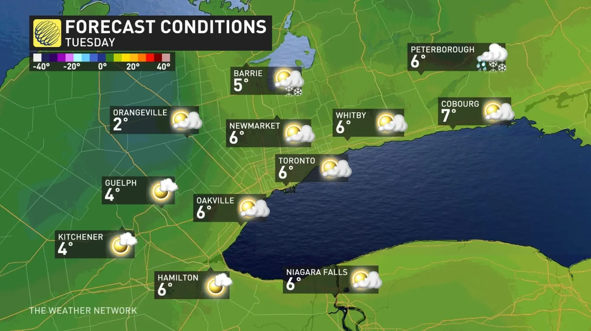
Rain is expected to spread across southern Ontario during the day on Sunday, and into eastern sections late in the day or overnight. Conditions will then turn blustery through Monday, with some the coldest air so far this season funnelling in behind the system.
This will be the perfect set-up for lake-effect rain and snow showers likely east and southeast of the Great Lakes.
Temperatures will be chilly for Halloween and colder than normal temperatures are expected to dominate through the first week of November, as well.
Stay tuned to The Weather Network for more forecast updates for southern Ontario.