Snow squalls threaten Ontario’s holiday weekend travel
Prepare for potentially dangerous road conditions if you have holiday weekend travel plans as snow squalls build over southern Ontario
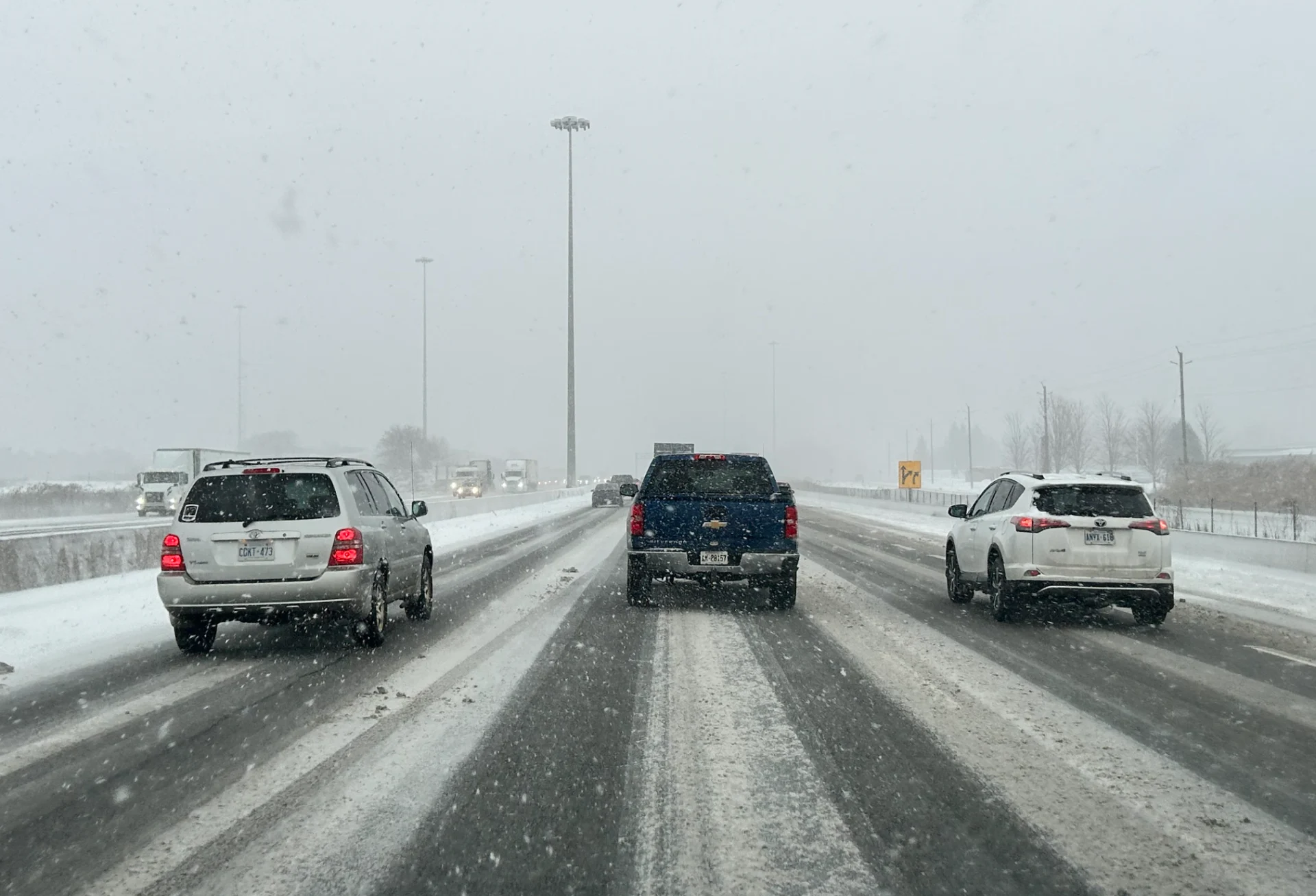
Cold winds blowing over the relatively warm lakes is a setup for classic lake-effect snow squalls across southern Ontario through the holiday weekend. Periods of heavy snow and low visibility will make driving dangerous at times, especially near the shores of Lake Huron and Georgian Bay.
This latest bout of snowy and blustery weather is a mixed bag for folks across the province.
Chilly temperatures and additional snow are both excellent news for ski resorts that have been hurting for much winter weather this season. But the squalls arrive after one snarled commute on Thursday and just as folks are heading out to enjoy a few days off from work and school.
Going somewhere? Check out the current highway conditions before heading out!
Through Saturday:
Blustery winds will dominate the region through the weekend. Chilly temperatures pouring in from northern Ontario will keep conditions firmly below freezing across southern Ontario through the weekend.
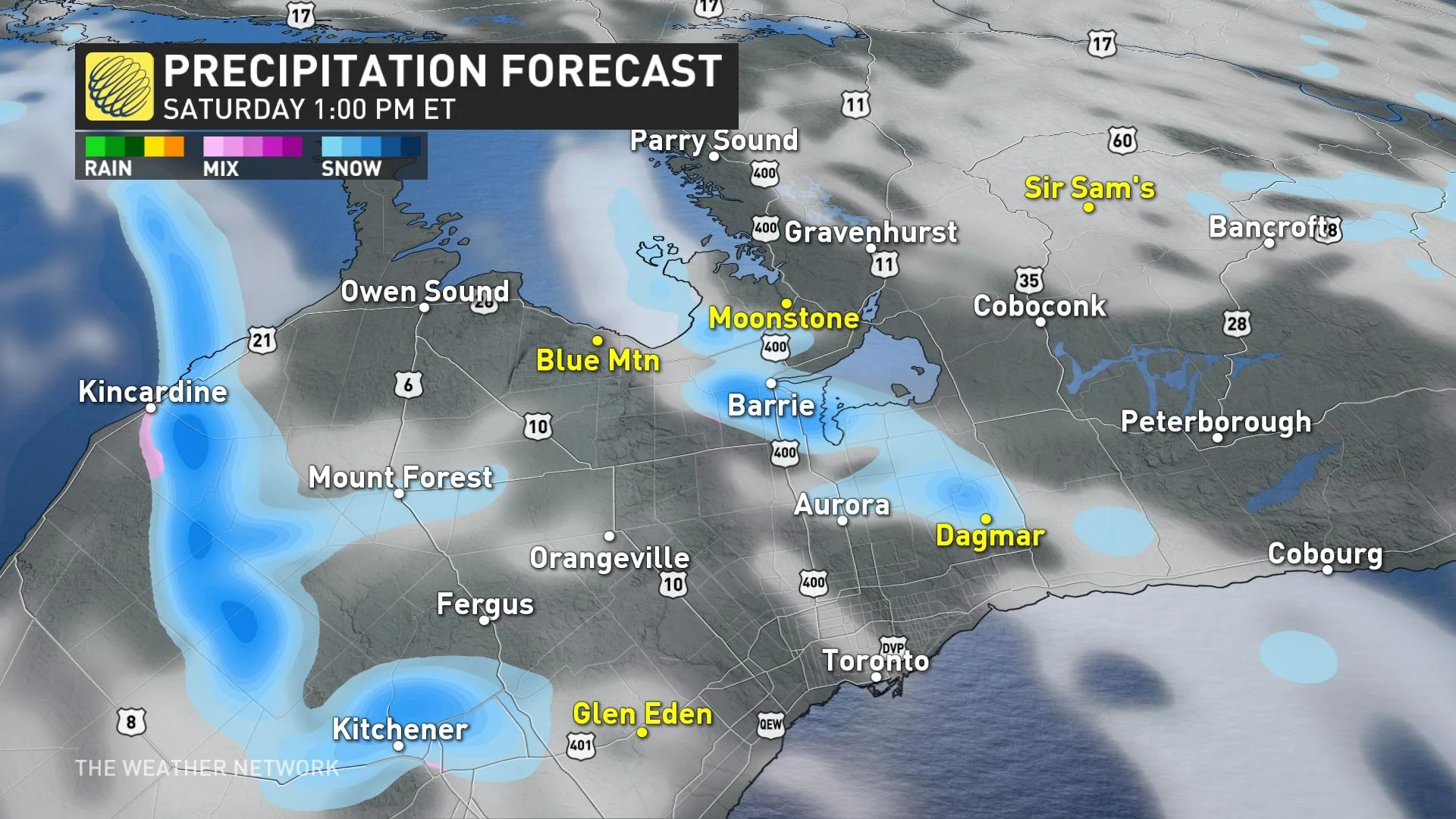
Given that the Great Lakes are virtually ice-free—just 4 percent coverage, an unprecedented low for this time of year—the combination of stiff winds and chilly temperatures will create ideal conditions for lake-effect snow.
Snowfall totals and road conditions will vary greatly over short distances in and around snow squalls. Accumulations as high as 25 cm are possible downwind from Lake Huron and Georgian Bay, while communities farther from the lakes may only see a dusting at best.

Winds will pick up across the region heading into Saturday, with widespread gusts of 40-60 km/h expected. These blustery winds will further reduce visibility in snow squalls.
DON'T MISS: Record warmth melts Great Lakes ice to historic February lows
Saturday overnight into Sunday
A weak clipper system will track into northern Ontario overnight on Saturday, and then track through southern Ontario on Sunday. Snow will be rather light, but lake enhancement will increase snowfall numbers surrounding parts of the Great Lakes.
Totals around Lake Huron will be around 5-10 cm, with 5-15 cm forecast around Georgian Bay, especially Gravenhurst, Brace Bridge, and Parry Sound.

Southwesterly winds will lead to some lake enhancement off Lake Erie and Lake Ontario, which could increase snowfall totals to 5-10+ cm from Kingston to Brockville, as well as Welland to Niagara Falls.
Forecasters will closely watch if the squalls remain stateside or inch farther north. Regardless, prepare for changeable conditions if you’re planning on using the international border crossings.

Folks in and around the Greater Toronto Area could see a dusting from this event, with less than 5 cm for the northern GTA and less than 2 cm from Toronto proper south.
RELATED: Why the Great Lakes produce some of the world's heaviest snows
Conditions can change rapidly over short distances around snow squalls, with calm conditions giving way to heavy snow and dangerously low visibility in a matter of metres. Drivers are urged to plan ahead, and to be prepared to adapt to the rapidly changing conditions.
Monday:
Monday will feature the calmest weather and best driving conditions of the weekend as our winds slacken off and the skies begin to clear out. Don’t forget the sunglasses before you head out Monday—the sun will be mighty bright reflecting off that freshly fallen snow.
Temperatures will remain consistently below freezing through the long weekend, which is favourable both for ski resorts to keep the snow that’s fallen and for making additional snow to coat the slopes.
This weekend snow is certainly excellent news for Ontario ski resorts that have been hurting for wintry weather so far this season. We’ve seen persistent stretches of above-seasonal temperatures and paltry snow totals thanks in part to El Niño dominating this season's patterns.
Stay with The Weather Network for the latest on your forecast through the holiday weekend.