Widespread winter travel advisories as snow spreads back into Ontario
Drivers are being urged to pack some patience in southern Ontario Thursday, as snow builds into the region just in time for rush hour traffic
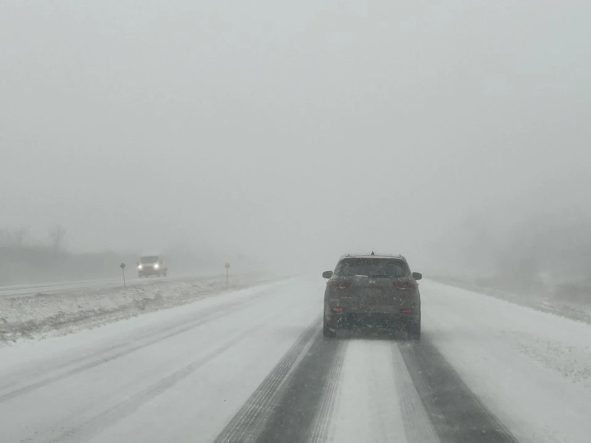
Slower commutes are likely in southern Ontario Thursday, as snow and gusty winds spread back into the region. This will be the first decent swath of snow in weeks, so drivers are being urged to plan accordingly and adapt to the changing conditions. A widespread winter road conditions advisory is in effect.
Accumulations will vary, depending on location, but a range of 5-20 cm is expected for southern Ontario through Thursday. As well, the high winds may cause tree branches to break and may result in local power outages.
While Thursday's system will be short-lived, it won't be the end of the snow, either. Behind the system, a multi-day, lake-effect snow event with strong, northwesterly winds will create blowing snow and dangerous whiteout conditions at times.
Below is everything you need to know heading into the Family Day long weekend.
Snow spreads back into southern Ontario for Thursday
Snow will track east throughout the day on Thursday, with snowfall rates picking up for the afternoon and evening, reaching the Greater Toronto Area (GTA) late afternoon, and the Ottawa region after the evening commute.

RELATED: Record warmth melts Great Lakes ice to historic February lows
Southern Ontario can expect a tricky Thursday evening commute. If you can leave work a bit early, it may help in missing the worst of the snowfall, which is set to fall from 2 to 5 p.m. in the Golden Horseshoe, including Toronto. Moderate snowfall paired with 60-80 km/h winds will reduce visibilities along major highways.
Winds will begin in the southwest –– from Sarnia, London and along the Niagara Peninsula by Thursday afternoon –– making their way into the GTA by the evening.
Localized power outages may also occur where the strongest gusts occur.

Snowfall amounts will be highest around and near Lake Huron and Georgian Bay –– with a potential for up to 20 cm, and lowest in extreme southwestern Ontario as some mixing could occur, reducing accumulating snow.
Accumulations of 5-15 cm are expected for most areas, with 5-10 cm expected in the GTA, and eastern Ontario, including Ottawa. Between 10-15 cm is expected as far south as Guelph and Kitchener-Waterloo.

Going somewhere? Check out the current highway conditions before heading out!
If the forecast trends on the high end, it will be quite a season flip for the region. The last time Toronto recorded near 10 cm of snowfall was nearly a year ago in March 2023.
It’s a rather quick system, however, so snowfall will end for the GTA Thursday overnight and by Friday morning for Ottawa, leaving a fresh blanket of snow.
WATCH: Lake-effect snow for the slopes for the long weekend, but with the risk of some travel issues
The snowfall totals do not include accumulations from the lake-effect bands forecast on Friday, and into Saturday morning. Once the system snow has passed, lake-effect squalls will settle in behind, bringing continued snowfall to the shores of Lake Huron and Georgian Bay.
Another 15-25 cm is possible, locally, in the traditional snow belt regions.

At this time of year, the lakes are usually at least 50 percent iced-over, but this year, they're mostly wide open and ice free thanks to the above seasonal temperatures felt across the board.
That will allow for this weekend's cold air to grab moisture for lake-effect snow making.

The system snow, along with the lake-effect, will make the Family Day weekend a great one to get out and enjoy the fresh new snow with some winter activities.
Temperatures are expected to remain cold through the weekend, as well, so whatever falls, and any additional snow that is made at the resorts, will remain on the ski slopes.

For anyone headed to the slopes, however, a word of caution. Road conditions might not be the best at all times.
Northwesterly winds will gust occasionally Friday and Saturday between 40-60 km/h, creating meandering lake-effect bands that could create brief whiteout conditions.

Driving conditions will improve by Monday, as the winds die down and the snow eases off. But don't forget your sunglasses, as bright sunshine will be reflecting off the freshly fallen snow.
Temperatures next week will be within a few degrees of seasonal, and no major storms are expected through the middle of next week.
Keep checking back to The Weather Network for more forecast information and updates on your weather across Ontario.