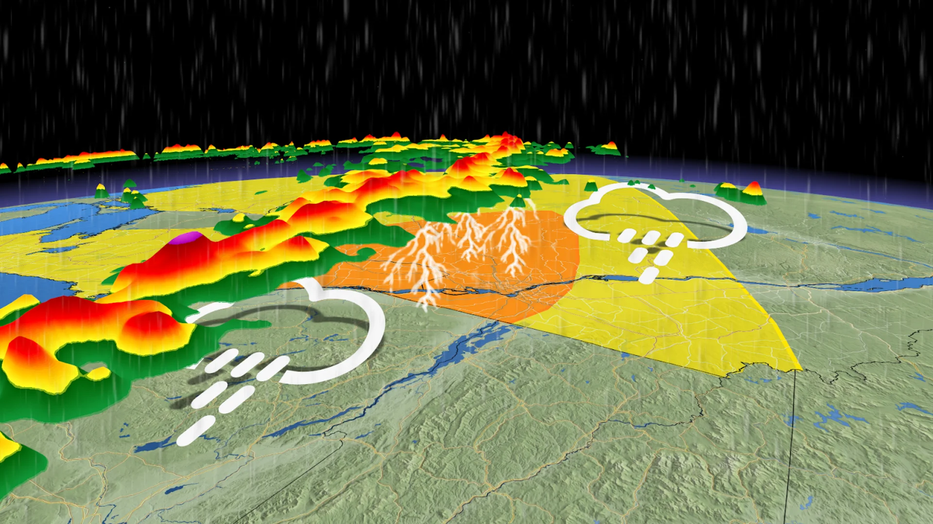
Severe storm threat moves to Ottawa, Montreal regions Thursday

An isolated tornado is possible with Wednesday evening's storms in southwestern Ontario.
After a quiet start to the week across southern and eastern Ontario, forecasters are watching a robust system moving across the Great Lakes that could trigger severe weather in eastern Ontario as it moves into Quebec on Thursday.
Keep an eye out for severe weather alerts through Thursday, as the severe weather environment will build with daytime heating.
SEE ALSO: This week's Full Moon will produce a 'nearly-total' lunar eclipse in the sky
Storm threat moves into eastern Ontario, Quebec on Thursday
The stormy system is forecast to lift into eastern Ontario on Thursday, eventually making its way into Ottawa and central Quebec, as well as the Eastern Townships by the afternoon to evening hours.
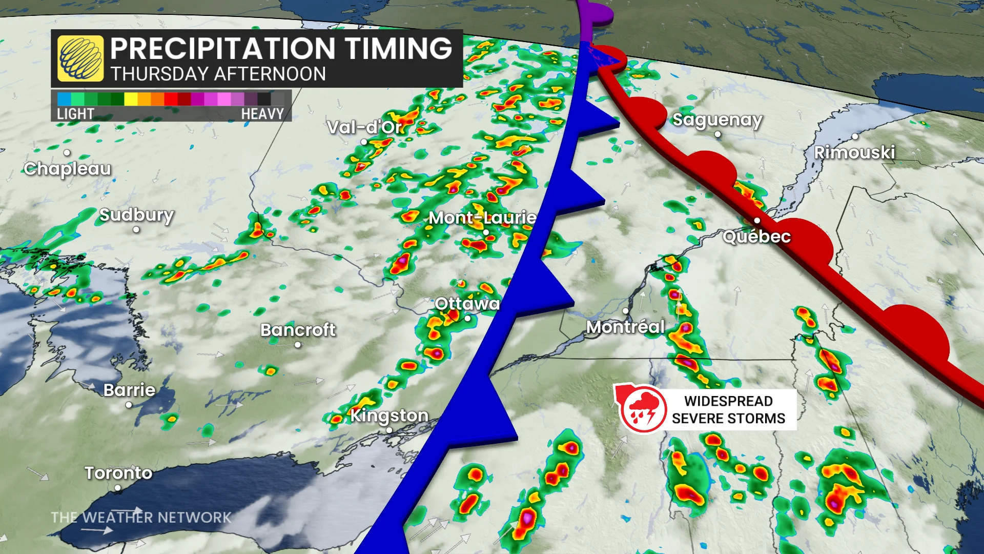
The best environment for severe weather is expected to be east of Montreal, where there should be ample atmospheric moisture, high wind shear, and high atmospheric spin. Once again, this could support the development of brief supercell thunderstorms, raising the tornadic threat.
The atmosphere should reach its most unstable point just before the evening commute begins. That means folks heading home from work may run into strong thunderstorms that could impact commute times.
Stay with The Weather Network for the latest updates and information on your forecast in Ontario.