Halifax issues overnight parking bans as snow pushes eastward in Atlantic Canada
Back-to-back storm systems will impact travel across parts of Atlantic Canada as January comes to a close, with heavy snow and gusty winds taking aim
Some of Atlantic Canada's major city centres are in line for significant snow this week. A series of systems will affect the region through Thursday, bringing 10-20 cm of snow to the harder-hit areas.
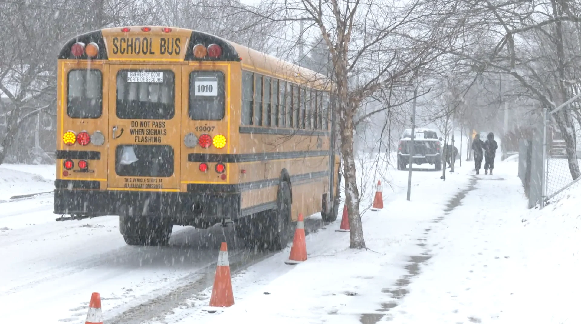
In Halifax, N.S., the deteriorating conditions prompted early school closures across the area for Wednesday.
Widespread special weather statements and snowfall warnings cover Nova Scotia and Newfoundland, warning of poor travel conditions with the heavy, and blowing snow.
DON'T MISS: January’s jet stream drama leads to February pattern swap in Canada
St. John's, N.L, which has failed to record more than 7 cm of daily snowfall this winter so far, is also in line for a bit of a rude awakening with this storm. Current projections have the Newfoundland city, usually Canada's snowiest, to see between 15-20 cm of snow.
Stay up-to-date with the latest weather alerts in your area, and be sure to monitor road conditions throughout the region.
WATCH BELOW: Happy kids head home early due to snow in Halifax
Wednesday through Thursday
The Atlantic provinces will be situated north of the storm track, allowing for a heavier snow event through Thursday.
The snow will pick up through Nova Scotia on Wednesday, moving east across Halifax for the afternoon, and into Sydney during the evening hours. Snowfall totals will range between 10-15+ cm, with gusty winds making for lower visibility at times, as well.

SEE ALSO: Claws vs. Paws: Nova Scotia’s lobster and groundhog compete for spotlight
The storm will move into Newfoundland by late Wednesday, with heavy overnight snowfall expected to pick up.
Intense snowfall rates of 2 to 4 cm an hour could impact the region at times.

Between 10-20 cm of snow is forecast for the Burin and Avalon peninsulas, along with wind gusts of 60-80+ km/h.
Breezy conditions along the coast, paired with heavy snow, will make for dangerous winter travel conditions and poor visibility.

This could likely be St. John’s largest snowfall of the season, beating out the largest, one-day total this season, which was 6.6 cm on Jan. 27.
DON'T MISS: Canada's 'snowiest' city to slowly pick up pace after quiet winter start
The Halifax Regional Municipality is advising residents that the overnight winter parking ban will be enforced from 1 to 6 a.m. (in both Zone 1 – Central and Zone 2 – Non-Central), to allow crews to properly clear streets and sidewalks.
Residents are able to determine which zone they’re in by searching their address using the interactive tool available here.
WATCH BELOW: Car crash happens live on air during snowy conditions in Halifax
More winter storms as we kick off February
A weaker system will follow with more snow flurries on Thursday, with eyes on another snow event for Friday, as well. The track and totals of this end of January storm however, are uncertain at this time.
An active pattern is expected during the first couple weeks of February, with messy storms keeping the region locked into the winter weather.
Stay tuned to The Weather Network for the latest forecast updates for Atlantic Canada.