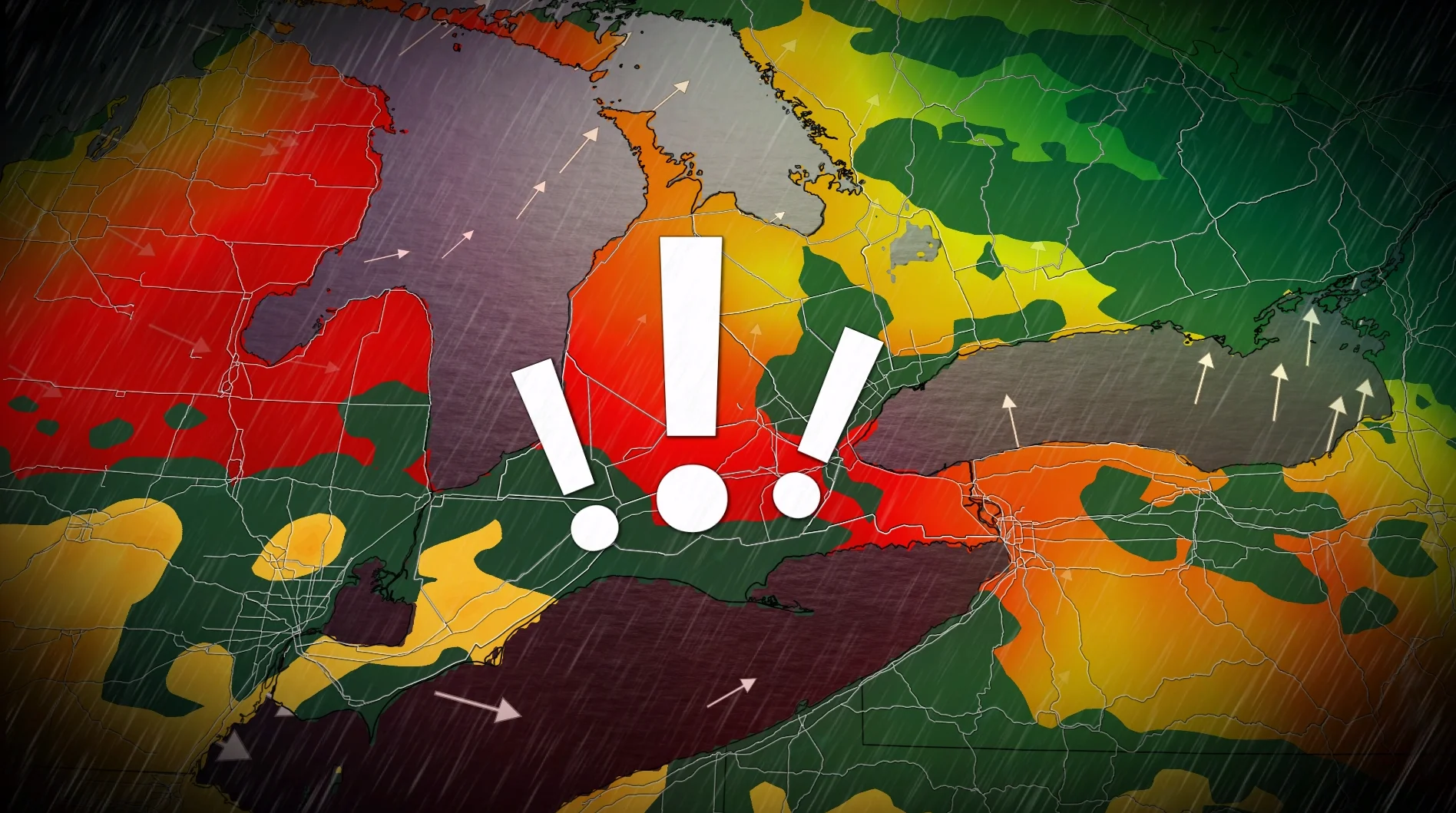
Risk for weekend torrential rain grows in southern Ontario

Work a threat for downpours into some of your weekend plans across southern Ontario
An active, muggy pattern parked over the eastern half of North America won’t spare southern Ontario’s upcoming weekend plans.
The setup looks favourable for a washout on Sunday as the risk grows for very heavy rainfall across parts of the region. Some severe storms are also possible.
DON’T MISS: Latest El Niño forecast calls for historic heat by this autumn
Sunday downpour risk is building
A vast reservoir of rich atmospheric moisture moving toward southern Ontario will send feels-like values close to 40 and fuel a threat for torrential downpours by the latter half of this weekend.
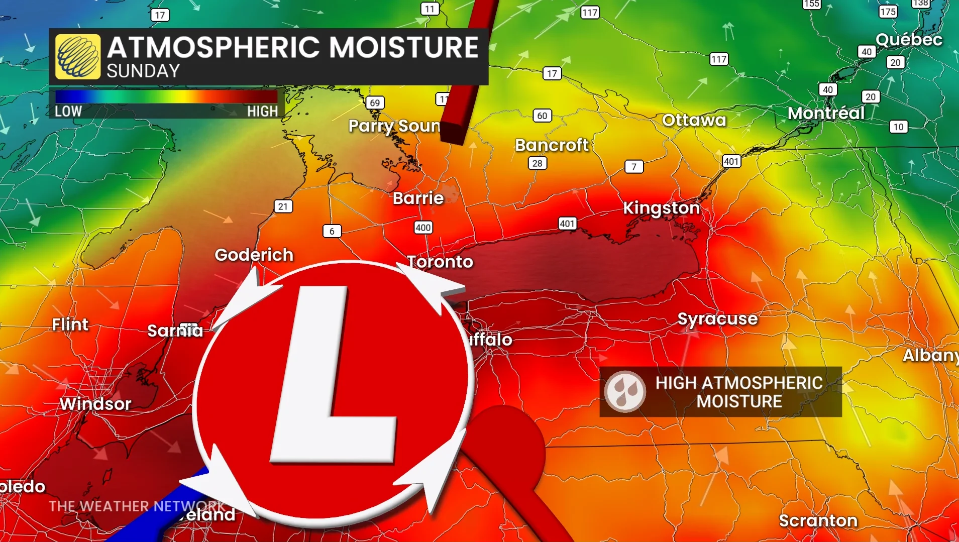
We’ll see a warm front track into southwestern Ontario on Sunday morning, dragging a slug of very heavy rainfall across the international border.
Rain will intensify through the early afternoon over Windsor, Sarnia, and the Lake Huron shores as a centre of low pressure approaches the region.
Expect very heavy to torrential rains to lift into London, Hamilton, the Greater Toronto Area, and the Niagara region by the afternoon and linger through the early evening.
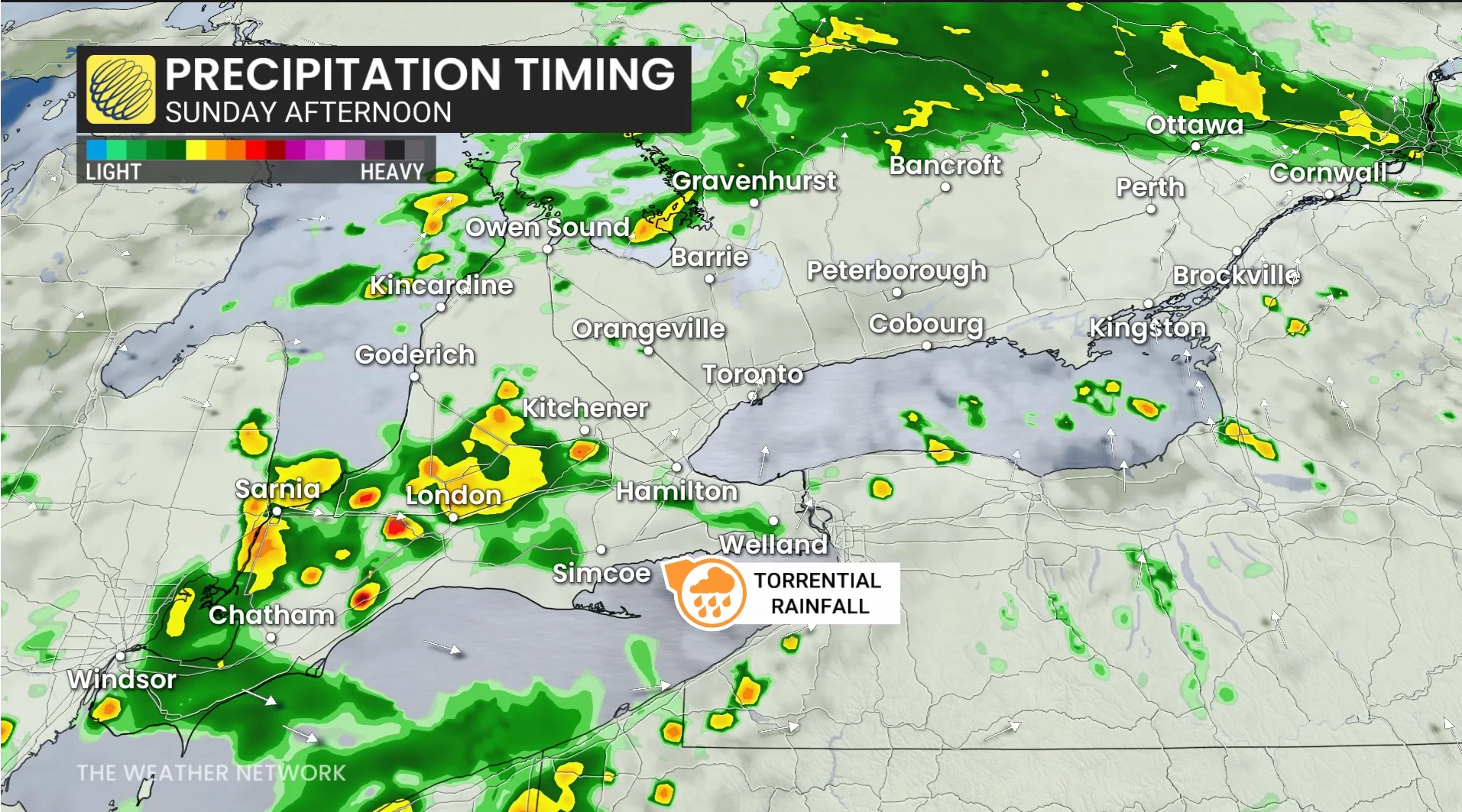
Some uncertainty remains in the precise track of the low-pressure system, which will determine exactly where and how much heavy rain falls.
30-50+ mm of rain is possible beneath embedded thunderstorms.
Folks in northeastern Ontario won’t be left out by this pattern, either, as a secondary low-pressure system will bring heavy rainfall to this region to close out the weekend.
Stay with The Weather Network for all the latest on conditions across Ontario.