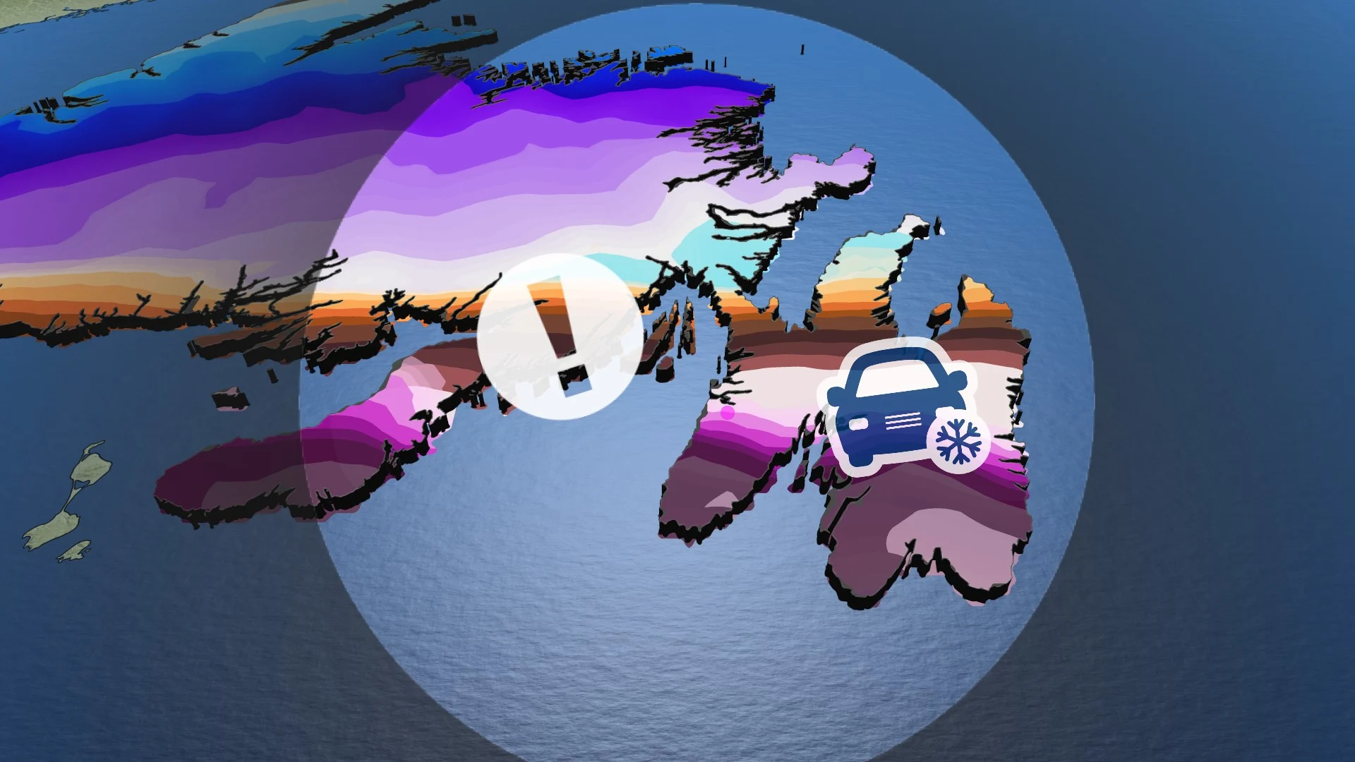
Risk for blizzard conditions, ice as East Coast faces major storm
Widespread travel delays and localized power outages are possible as wind-driven snow and hours of freezing rain hit Newfoundland into Friday
It’s a rough end to the week across Atlantic Canada as another impactful winter storm rolls across the region. Heavy snow and mixed precipitation will continue overnight for parts of the Maritimes, while the worst is yet to come for Newfoundland.
Expect blizzard-like conditions as heavy snow and gusty winds pour over Newfoundland heading through the day Friday and into Saturday. Parts of the Avalon Peninsula could see 40-70 cm of snow by Saturday, while parts of the peninsula face a risk for hours of freezing rain and ice pellets during this storm.
Prepare for hazardous driving conditions, widespread traffic delays, and possible road closures. Gusty winds and ice buildup could lead to scattered power outages. Plan ahead for disruptions and ensure your electronic devices are charged.

SPRING 2024: Get an in-depth look at the Spring Forecast, tips to plan for it, and much more!
Thursday overnight: Storm pushes into Newfoundland
Precipitation will finally come to an end across the Maritimes overnight into Friday morning, leaving behind 20-40 cm of snow for parts of east-central New Brunswick and portions of Prince Edward Island. Rainfall totals will range from 30-60 mm for southwestern Nova Scotia.
Conditions will go downhill in a hurry across Newfoundland as the storm pushes in from the south. Expect precipitation rates to intensify through the overnight hours, arriving with blustery winds that’ll gust to 60+ km/h at times.

Heavy snow will build into Newfoundland—especially central parts of the island—overnight as the storm arrives. A warm front inching in from the south will force snow to change over to ice pellets and freezing rain for much of the Avalon and Burin peninsulas, including St. John’s.
Anyone travelling overnight will see road conditions deteriorate as the wintry precipitation intensifies over the island. Localized power outages are possible amid the gusty winds and potential for ice accretion on trees and power lines.
Friday: Newfoundland faces heavy snow, risk for blizzard conditions
Friday will be a downright nasty day for the southern half of Newfoundland as the storm’s intensity peaks through the day. School, business, and road closures are all likely due to the foul conditions.
Colder air sliding into the Avalon and Burin peninsulas will shove the ice pellets and freezing rain farther south, allowing a changeover to snow for St. John’s.

MUST SEE: Staying safe during a power outage: Infographic
Snow will gradually ease across western Newfoundland on Friday as the heart of the storm moves east. Expect heavy snow to persist through Friday across central and eastern Newfoundland.
Wind gusts will reach 60-80 km/h across the Avalon and Burin peninsulas on Friday evening, increasing the potential for localized power outages and low visibility due to blowing snow. Blizzard conditions are possible across the St. John’s region.
Saturday: Storm ends, cleanup begins
Overnight snow will linger into Saturday for the Avalon and Burin peninsulas as the final breaths of our departing system spread across the region. Snowfall rates won’t be as heavy as they were on Friday.
Precipitation will taper off into the late-morning hours as the storm exits the region, with clearing in the forecast by Saturday afternoon.

Snowfall totals of 40-70 cm are possible across the Avalon Peninsula, including St. John’s, by the time the storm ends on Saturday. This bullseye of heaviest snow is dependent on the storm’s track, as a slight shift north could allow ice to linger longer and reduce snowfall totals.
An accumulation of 6+ cm of ice pellets is possible for parts of the Avalon and Burin peninsulas by the end of the storm Saturday.

Ice pellets accumulate like snow, but can freeze into a solid slab of ice that’s extremely difficult to remove from sidewalks and roads—a risk made possible by temperatures hovering around or just below freezing through Sunday.
Disruptive ice accretion is also possible for southern communities like Trepassey and Grand Bank. Tree damage and downed power lines are possible in areas that see the most ice from prolonged freezing rain.
WATCH: Freezing rain is the WORST type of precipitation, don't underestimate it
Be sure to check back for the latest weather updates across Atlantic Canada.