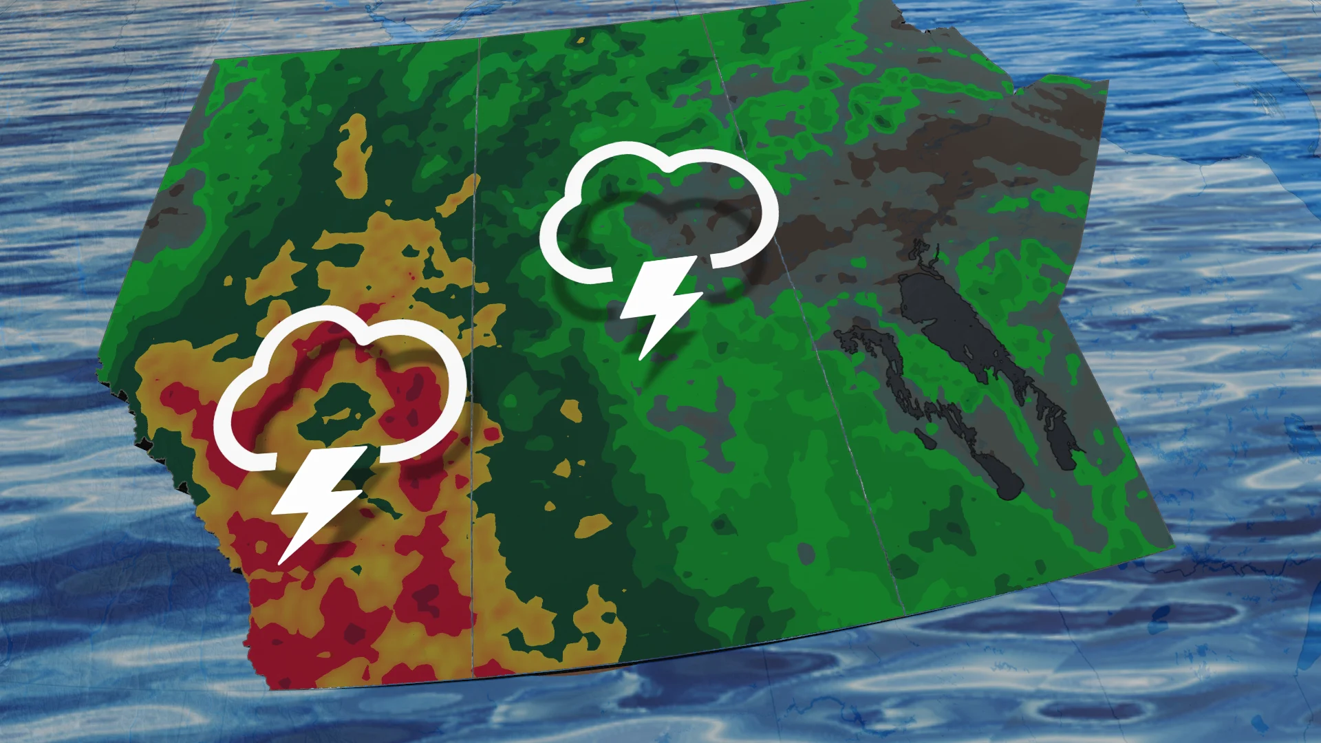
Prairie heat wave peaks before stormy, soaking pattern takes over

Extreme heat and humidity will continue through the week, as severe thunderstorms and heavy rain loom over parts of the western prairies
The Prairie heat wave has produced Canada's highest temperature of 2026 thus far, with Val Marie, Sask., reaching 36.3°C on Tuesday.
Temperatures rose into the low 30s in southern Alberta, Saskatchewan and Manitoba, with forecasters warning of more hot and humid days ahead.
Thursday could once again challenge for the national hot spot as the heat core moves eastward toward Manitoba before relief arrives this weekend and early next week.
The stubborn ridge driving the heat is expected to weaken and slide eastward as a low-pressure system moves inland from the West Coast, paving the way for a much stormier pattern across the Prairies.
CHECK OUT: How the weather could be influencing your music taste
Severe storm risk ramps up
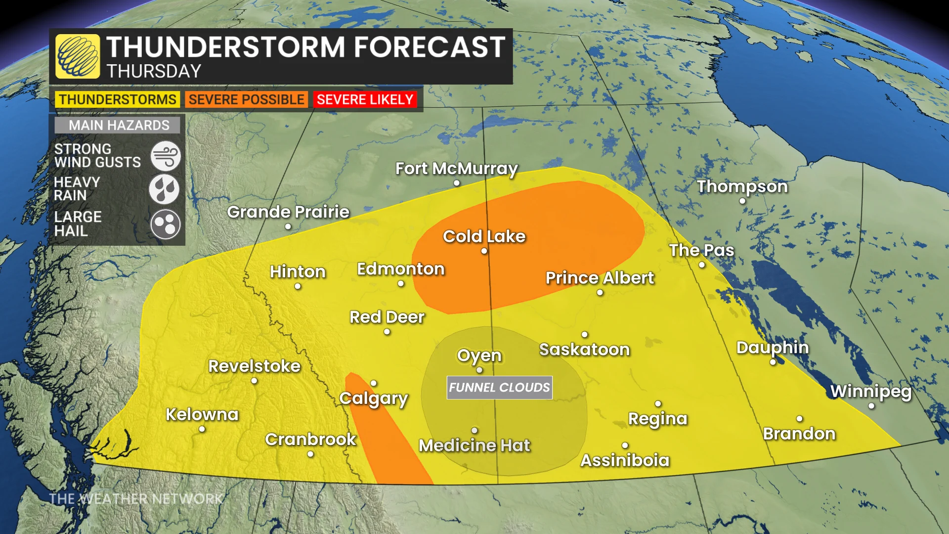
Thunderstorms are expected to continue in Alberta and western Saskatchewan until the end of the week as they track along the western edge of the heat ridge.
Some storms Thursday afternoon and evening could become severe, bringing strong winds, torrential rain and isolated large hail. There is also the possibility of funnel clouds near the southern Alberta-Saskatchewan border.
SEE ALSO: Drone users face hefty fines in national parks
Soaking rain signals grow stronger
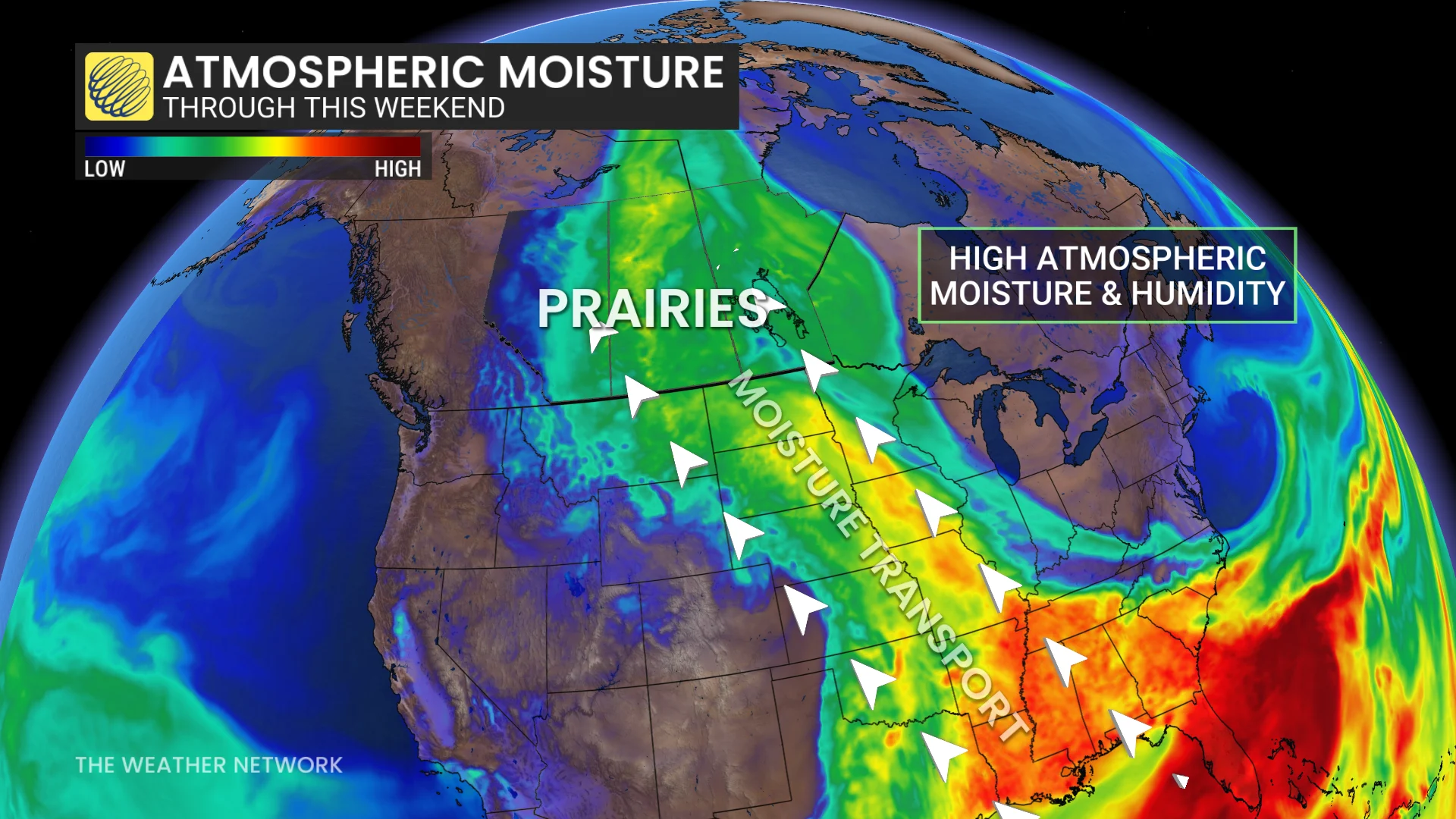
The spotlight is now shifting to a wetter pattern that is expected to settle into the western Prairies over the weekend and early next week.
There is growing confidence that parts of Alberta and Saskatchewan will receive significant rainfall between Sunday and Tuesday, with localized totals potentially exceeding 50 mm. Some forecast models continue to predict isolated rainfall totals of 75 to 100 mm.
Stay with The Weather Network for the latest updates across the Prairies