Potential storms and smoky air set for parts of Ontario, Quebec

Thunderstorm risks are going to move into parts of northeastern Ontario and western Quebec Monday afternoon while parts of southern Ontario will see low-level smoke move through the region.
The air quality will once again be deteriorating across Ontario as we head into the work week. Low-level smoke from wildfires will keep the air quality hovering at a medium risk throughout the week.
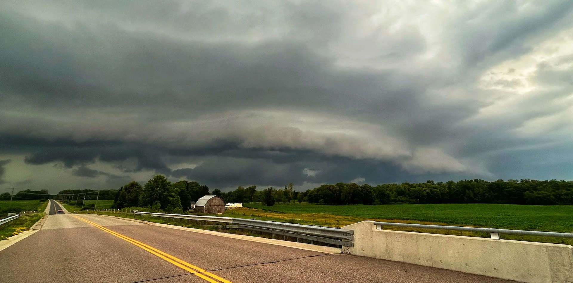
As the weekend ends with localized thunderstorms, some reaching severe, the work week may also be off to a stormy start for many in northeastern Ontario and western Quebec.
DON'T MISS: Three tornadoes confirmed from Thursday’s storms in Ontario, Quebec
Monday
Areas: Northern and southern Ontario, western Quebec
Timing: Afternoon and evening hours
Weather: There is a continued possibility of some thunderstorms in through parts southern Ontario Monday afternoon. There is a chance that some could become stronger in central Ontario & into Quebec.
The risks associated with severe thunderstorms include heavy rain, large hail and damaging winds.

RELATED: When extreme weather hits, trauma is the invisible damage
Those in southwestern Ontario will see hazy skies continue on Monday with conditions gradually getting better into Tuesday as thunderstorms help push the smoke out of the region. The smoky conditions will worsen in eastern Ontario as the week goes on.

Prepare
Keep The Weather Network’s app handy on your phone to peek at the radar and keep up with watches and warnings as the day progresses.
Stay close to a safe shelter in case storms threaten your location. And remember, the greatest danger in any thunderstorm is lightning. If you can hear thunder, you’re close enough to be struck by lightning.
Thumbnail courtesy of Mark Robinson.
Stay tuned to The Weather Network for the latest updates on conditions across Ontario.