5-15+ cm: Snow returns Friday, with strong winds. Plan for travel impacts
Quick-moving snowstorm to impact southern and eastern Ontario Friday, strong winds to follow, and another powerful storm to watch for the end of the weekend
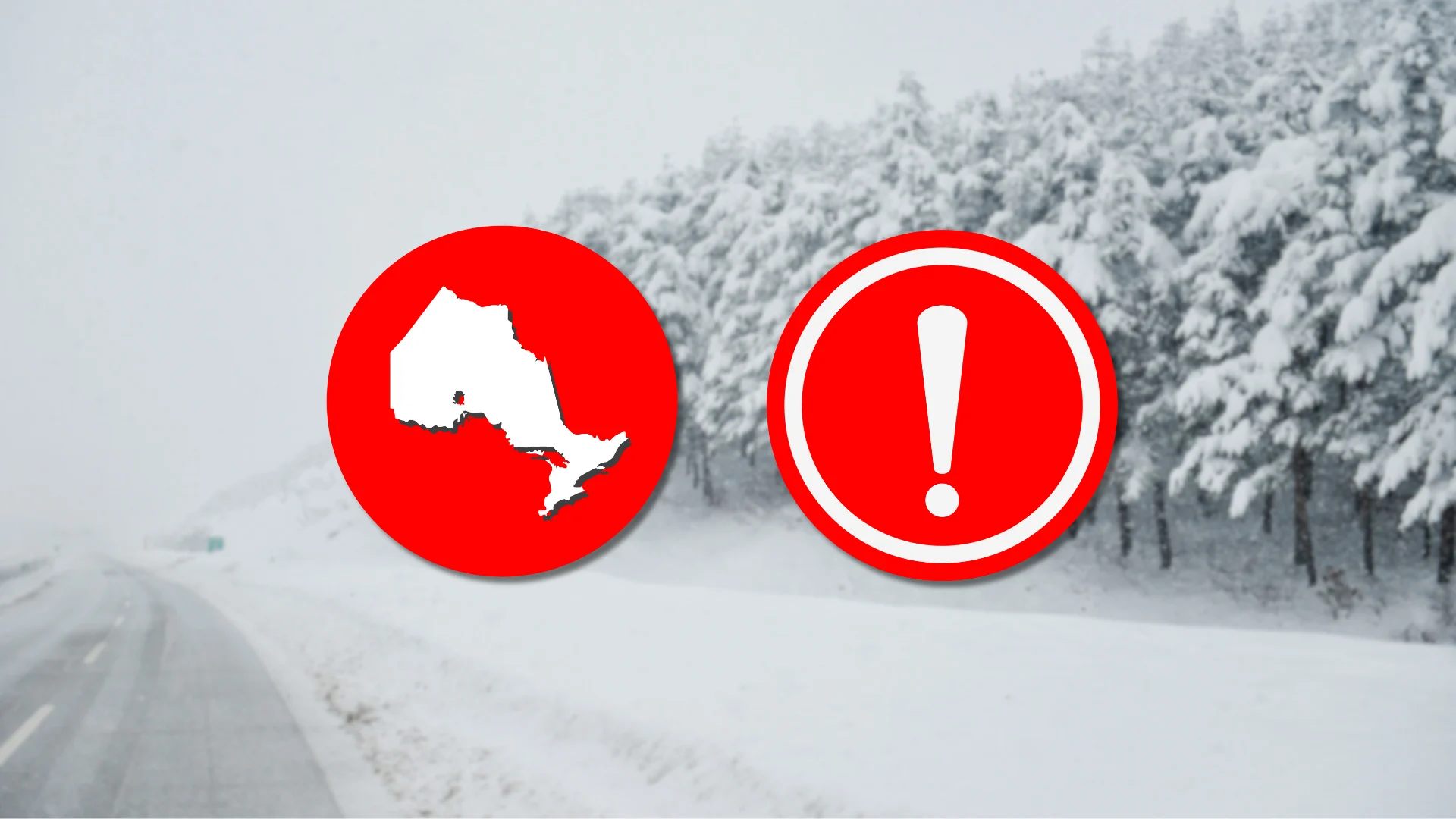
Following Wednesday's freezing rain, ice, and snow event, southern and eastern Ontario are set to see snow return Friday. A low pressure system moving across the region will bring a mix of impacts, including snowfall, strong winds, and reduced visibility.
DON'T MISS: The Storm of the Century spawned historic snows, destructive twisters
The system will originate on the West Coast and push through the Prairies before arriving in Ontario with 5-20 cm of snowfall on Friday.
Prepare for quickly changing and deteriorating travel conditions as roads will be slippery and visibility may be reduced. Allow extra time for travel.

Next wintry system moves in on Friday
From a false spring to spring flooding and now, back to snow. Hold on, Ontario, to March’s bumpy ride!
Flurries will start early Friday near the Lake Huron shores, extending to London, with snow reaching the Greater Toronto Area (GTA) by late morning.

The heaviest snowfall occurs west of Toronto in the morning, with the GTA seeing its heaviest snow by mid-morning to lunch hour. Later, heavier snowfall shifts east to areas like Oshawa, Peterborough, and Kingston.
Mild air will bring light rain to areas from Sarnia to Niagara, while regions like the 401 corridor (Toronto to Hamilton) experience a mix of wet snow and rain, reducing total accumulations there.

Snow returns to Toronto during the evening, and tapers off by early Saturday. Light snow continues in snowbelt regions, including Georgian Bay and Lake Huron, into Saturday morning.
Blowing snow and strong winds
From Friday evening through Saturday morning, strong winds will lead to blowing snow, reducing visibility and complicating travel, especially around the GTA and areas west.

With strong winds and above-ground power infrastructure, some areas may see power outages due to downed power lines.
Prepare for slowdowns during Friday’s evening commute and stay updated on weather alerts.
Weekend outlook: Watching another significant system
Saturday brings a brief pause in active weather, with temperatures slightly below seasonal norms. However, forecasters are monitoring a Colorado low that could bring significant snow and rain to the region by Sunday.
Stay with The Weather Network for more information and updates on your weather across Ontario.