Poorly timed snowfall in Saskatchewan likely to complicate travel
Saskatchewan will join Alberta on the snow train this week as an Arctic front sweeps into the province, plummeting temperatures and potentially causing some highway mayhem.
Welcome to the snow show, Saskatchewan. You are joining Alberta this week in getting your first impactful snowfall of the season.
The heaviest snow in Saskatchewan is expected to fall between the two major highways across the province, so travellers will encounter significant delays on these roadways during the busy commutes.
RELATED: Atmospheric floodgates allow brisk air, hefty snowfall into Alberta
Regions along and north of the Trans-Canada Highway can anticipate the heaviest snowfall, potentially seeing 5-20 cm of snowfall through Tuesday.
Monday overnight through Tuesday
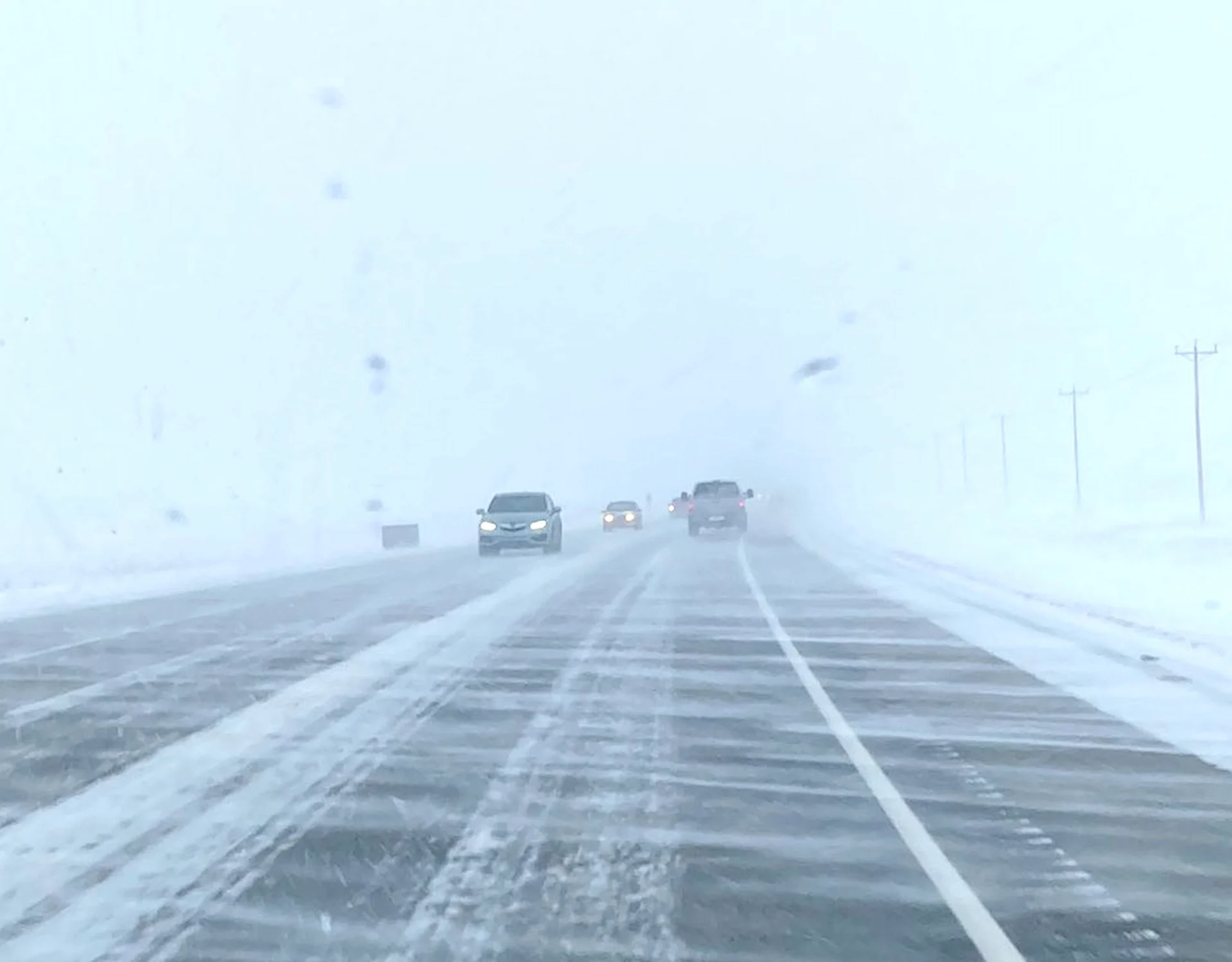
Snowfall will spread into the province Monday overnight into Tuesday. The heavy snow will create some travel chaos around Regina, even extending up towards Saskatoon during the Tuesday morning commute.
Wind gusts nearing 30-40 km/h may create blowing snow conditions intermittently, so be sure to leave extra travel time as commutes slow.

Accumulations will vary, especially along the south side of the low, but regions along and north of the Trans-Canada Highway can expect the precipitation to remain as snow. That is where 5-20 cm is expected, with heaviest totals in the western end.
Regina has already seen some flakes fly, but temperatures will be cold enough for them to stick to the ground this time around. Keep an eye on your snowfall forecast, Regina, as with small track changes with this low, we result in much more snowfall across the city.

Middle to end of the week
For the rest of the week you will want to keep your jackets close by and consider breaking out your toques. While snowfall tapers off Wednesday, we will be left with unseasonably cold temperatures.

However, that may not be the last of the snow. Some more mid- to late-week snowfall may creep into the southwest. We’re tracking a Montana low that grazes the border, likely bringing another swath of accumulating snowfall to finish off the week. However, there is some uncertainty in how far north the system will track.
So keep checking back for more forecast updates as we continue to track the system.
Keep checking back to The Weather Network for more forecast information and updates on your weather in Saskatchewan.
Thumbnail contains a photo from November 2022. It is courtesy of Trevor/X.